


A small group had gathered on the aft deck in the early dawn, as the mountainous coastline of Kona came into view. We watched as our onboard Hawaiian culture ambassador blew their large conch shell; a resounding and haunting call to shore. This ancestral ritual pays respect to the spirit of the land and observes the protocol in asking permission to come ashore. Joined by another 3 ambassadors, they commenced with the prayer, blessings, and specific hula for this ancient ceremony.

It may have been sheer coincidence, but upon the last note of their song and hula, the cloudy skies began to part, and the sun shone on our hull as we made our approach to The Big Island of Hawaii.
After six days at sea, the entire ship seemed buzzing with the excitement of finally going ashore in Kona. Ourselves included, as we reserved a ‘street buggy’ to drive around in. A 15-minute walk brought us to Big Island Buggy’s, where we received a quick orientation and then were off to explore Kona and the surrounding areas.

We began by driving south on the coastal Alii Drive, through Keauhou, Honalo and a few beaches. Naturally, we had to stop for some great Kona coffee along the way too!


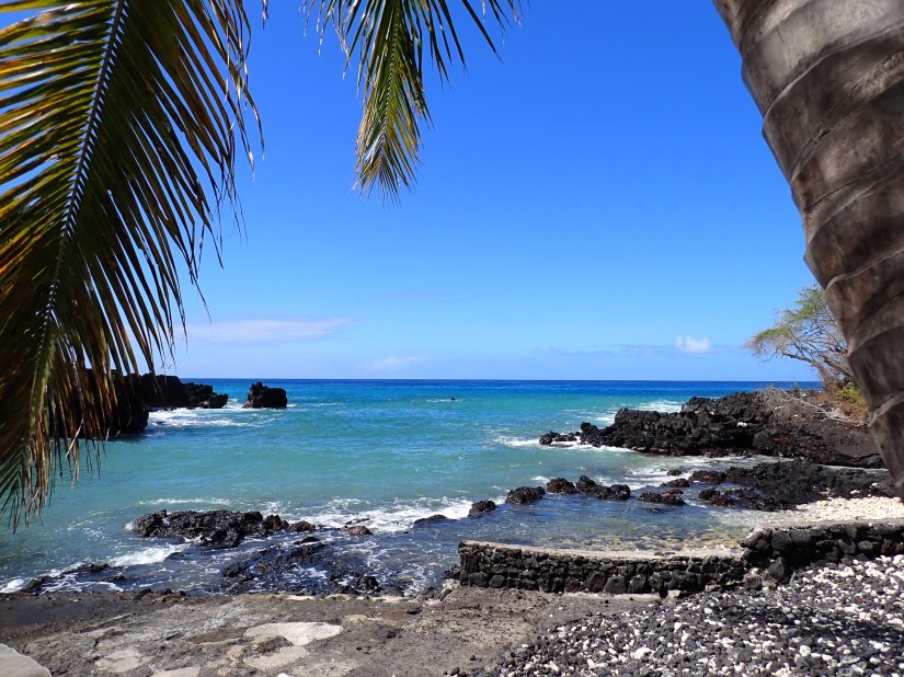
Eventually, we wound our way down Napoopoo Road taking us to Honaunau Bay, its National Historical Park and the sacred Place of Refuge.
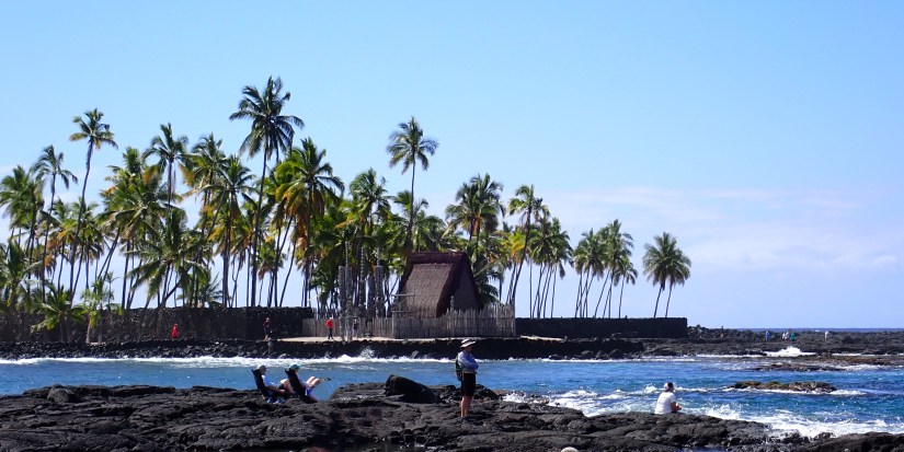
We also discovered nearby Mokuakae Bay and Kealakekua Bay, where the Captain Cook Monument is located.

The scenery during our drive included black beaches, outrigger canoes, macadamia nuts, avocado and fruit trees, the occasional black lava field and plenty of coffee farms.

We visited St. Benedict’s Catholic Church, better known as the Painted Church, built in 1899. It’s interior features frescoes painted using ‘ordinary’ early 1900’s house paint by one of the priests. https://thepaintedchurchhawaii.org/


In Manago, the sign for fresh Kona Chips caught our eye (and our cravings). They are made on-site and said to be “spun” for extra crispiness. We also ordered a Veggie & Avocado Wrap with peanut sauce at a nearby takeout window.


With lunch satisfied, we started our trek back north, taking the Mamalahoa Highway up to a 1,500-foot elevation that gave us some nice views of coffee farms and our ship at anchor in the distance.

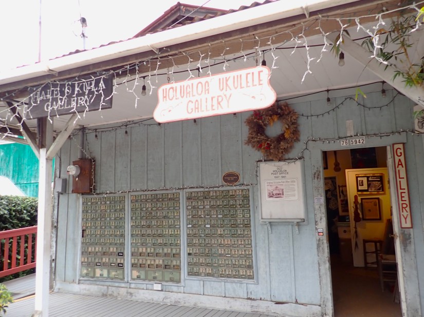
In Holualoa, we stopped at the lovely Dove Tail Gallery & Design (https://dovetailgallery.net/) which offers extraordinary woodworking and art. Next door was the Holualoa Ukulele Shop, which formerly had been the US Post Office between 1937-1961. It still displays its old post boxes.


The air was decidedly cooler at this elevation, and the light rain shower that we drove through gave us a bit of a chill in the open-air vehicle. So, we descended down to the coast and north past the airport to find the Kekaha Kai State Park with black lava fields contrasting against its beautiful blue waters.
Just offshore, we watched as several whales were breaking the surface while making their migration past the island.
It took only 3 gallons to refill our tank before returning the buggy. We thoroughly enjoyed our 65-mile open-air tour and even got pretty good at climbing in/out of the molded body. The manual 4-speed Volkswagen engine rode relatively well up to about 50 mph, at which time the canopy roof would flap violently. Fortunately, that strip of 50 mph highway was only a short distance near the airport.


A block away, we joined some friends at the Kona Brewery for a pint of stout and everyone exchanged their Kona travel discoveries. Disbanding, we headed back to Kona’s waterfront to look over the harbor before boarding a tender back to the ship.
Hilo, Hawaii Zuiderdam enters the wide harbor protected by a 2-mile breakwater and comes along the pier by 7am.


After riding around in yesterday’s “rattle trap”, today we took an Uber to the airport for a “proper” rental car.

Our route today took us up Saddle Road, a stunning drive that winds us between two great volcanos: Mauna Loa (active) on our left and Mauna Kea (dormant) on our right. Photos simply do not adequately capture the vast expanse in front of us. The scene is both breathtaking and awe-inspiring!
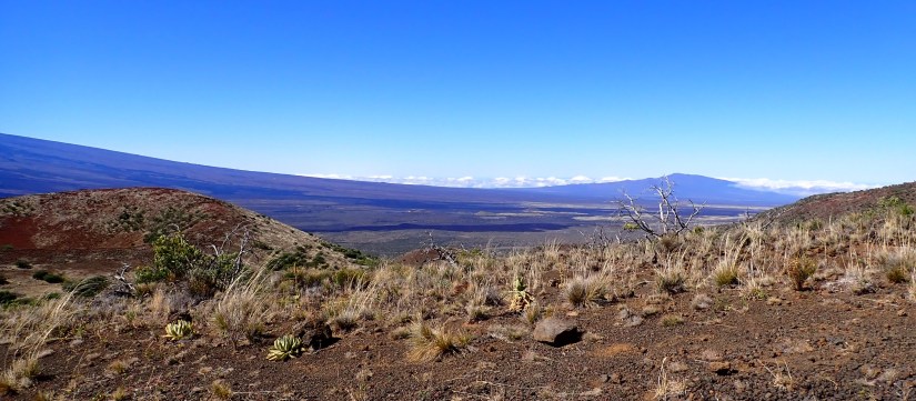
We continued our ascent all the way to the Visitor Center at 9,045 feet elevation. Our view is above the cloud line.

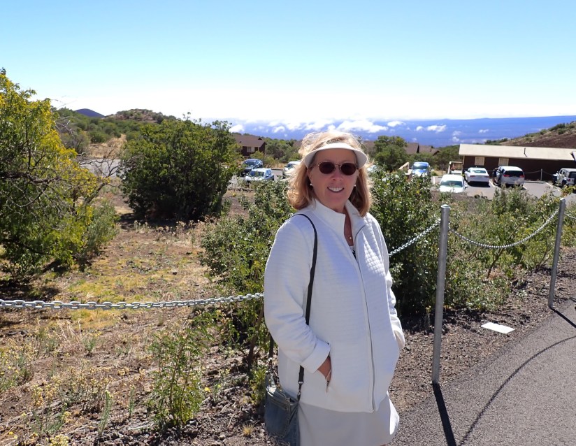
It is the farthest and highest point we are permitted to go in a two-wheel drive car, as the road conditions beyond deteriorate.

We are very lucky to have a perfectly clear, blue-sky morning to witness the panoramic view!

Returning back down, we turned north towards Waimea. Some locals told us about an art exhibition at the community center, and the Wednesday Farmers Market at the Parker Ranch came in handy for lunch.

A few food trucks provided plenty of delicious choices. We shared an incredible rustic-bread toasted cheese sandwich with black forest ham and orange marmalade along with taro chips, while listening to live music. There were also vendors hawking their handicrafts, coffee and macadamia nuts. We even got a chance to crack a few macadamias, which by the way, require 300 lbs of pressure to crack!
The road eastward from Waimea became more wooded, strewn with farms, cattle and horses.

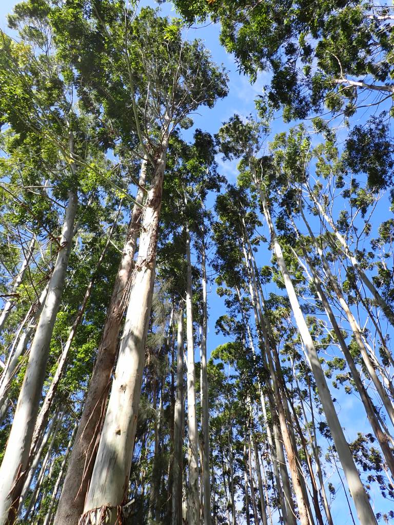
And miles of eucalyptus trees, which are actually an invasive species here. Stick-straight and tall, swaying in the wind.
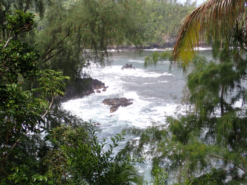
Continuing down the scenic Hamakua Coast, we came upon single lane bridges cutting through lush foliage, stunning coves and waterfalls.
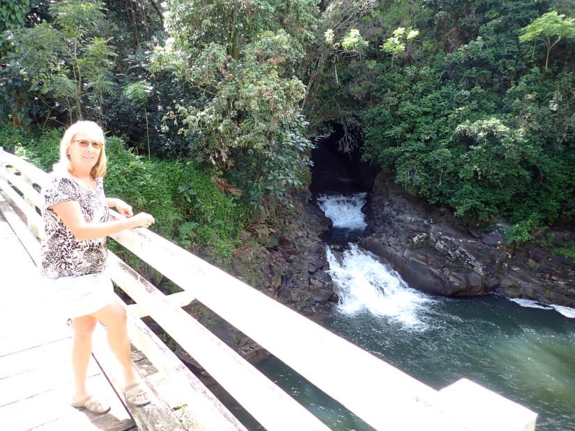
If we had more time, we may have visited the Botanical Gardens instead of pushing on. Wish we could have lingered longer. But today’s 148-mile drive gave us a glimpse into the many beautiful facets of The Big Island!
Maybe the most colorful experience today was our Uber ride back to the airport to return our rental car. We stepped into the back seat to find a wild array of pipe cleaner art in every direction, hanging from anything. The driver invited us to help ourselves to an ample supply of virgin pipe cleaners and add our own creations to the ongoing collection. What a fun idea!

The Big Island….did you know?
- It boasts 10 climate zones, from tropical rainforest to subarctic tundra.
- It’s the size of Connecticut. Taking a coastal drive, you’ll cover about 300 miles.
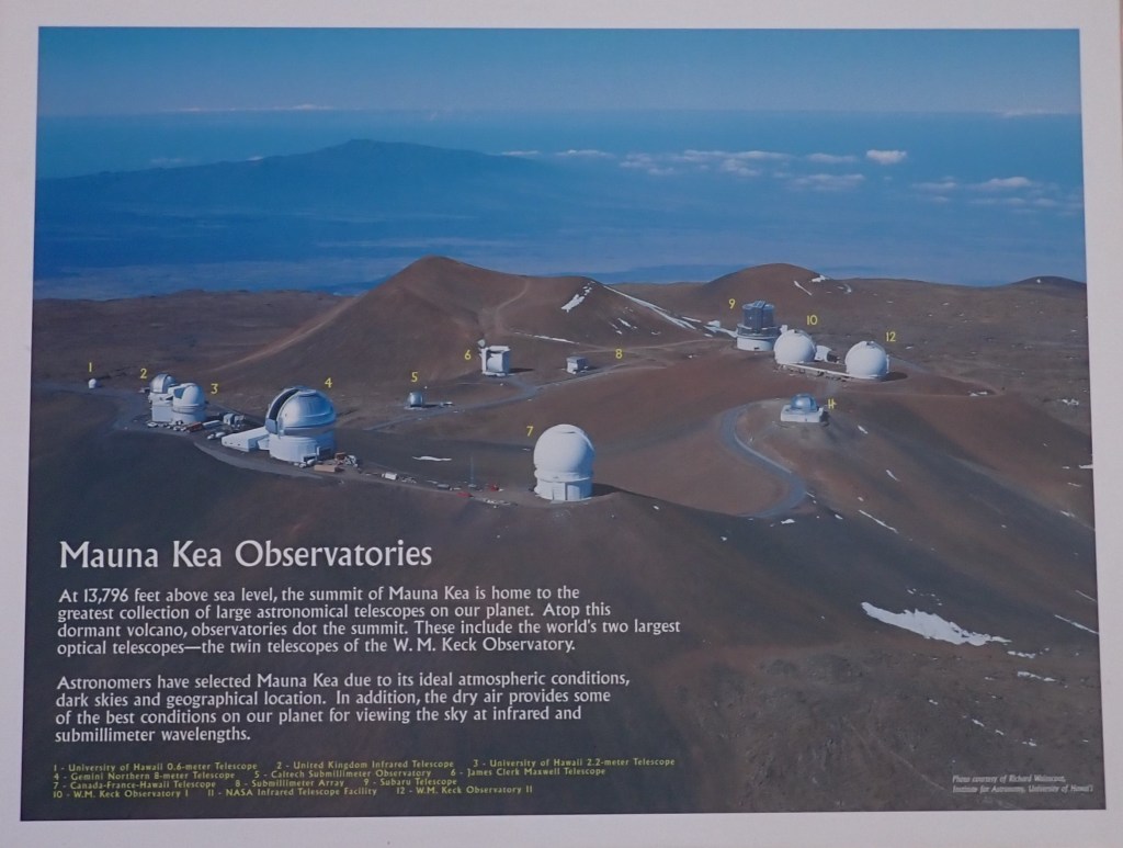
- Mauna Kea is the tallest mountain in the world, when measured from its base at the sea floor.

Honolulu, Oahu Since we toured the last two Hawaiian ports by car, we were itching to strike out by foot to Waikiki Beach to rendezvous with shipboard friends (three sisters) at Duke’s for lunch.
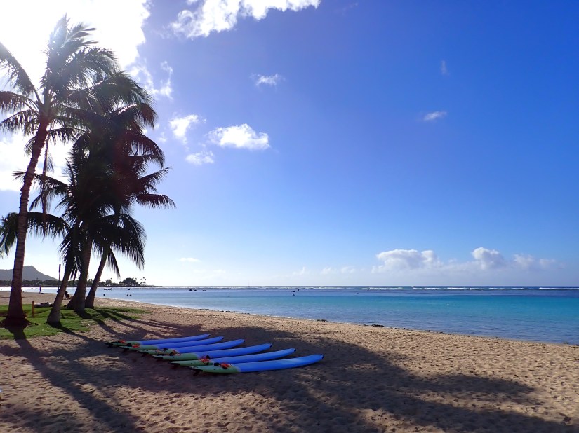
Along the way, we passed high-rises, marinas, the Waikiki Yacht Club and gorgeous beaches.


Afterwards, we strolled streets lined the high-end stores. As well as the charming International Market Place, an open-air mall with “Don’s Treehouse”, featuring a historic banyan tree planted in the mid 1800’s still striving amidst the urban shopping.

The iconic Royal Hawaiian Hotel beckoned. We wandered throughout her impeccably manicured grounds, taking pictures of this grand beauty on the beach.
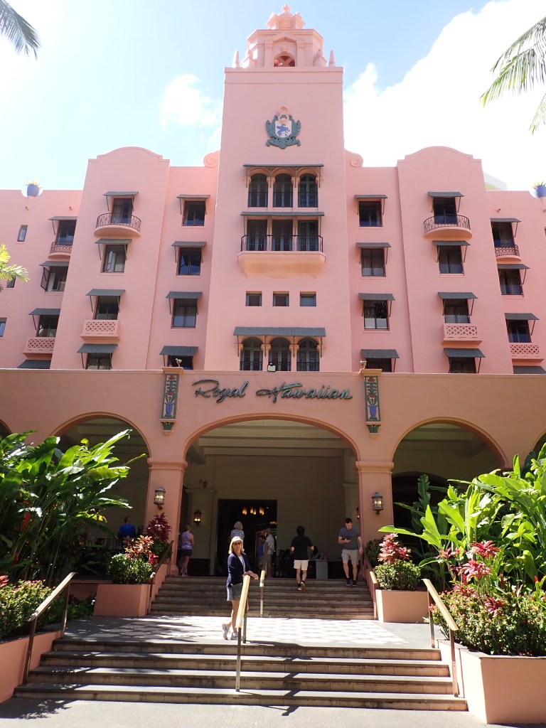
Remarkably, we found the perfect beach-side table on the back patio to people watch. The sun shone on Diamond Head in the distance, as surfers, swimmers, sunbathers, and day-charter catamarans provided the cast for a scene right out of a 1960’s beach-party genre movie. Frankie…Annette… surf’s up!


The hours passed quickly and when the sun began to set, it was time to get back to the ship via a Tesla Uber (no pipe cleaners this time).
Leaving Honolulu, the Zuiderdam and her merry crew have logged 11,682 nautical miles in the 37 days since leaving Fort Lauderdale.

During our 8-day passage from the Hawaiian Islands to Guam, we passed the International Dateline and lost a day. Thankfully it was neither Valentines Day nor Mardi Gras which were both celebrated aboard in fine fashion! We also enjoyed watching the Super Bowl on the giant screen on the ships Main Stage. Our chefs made it special by serving all the tail-gating favorites, as well as the best brisket we’ve ever tasted!

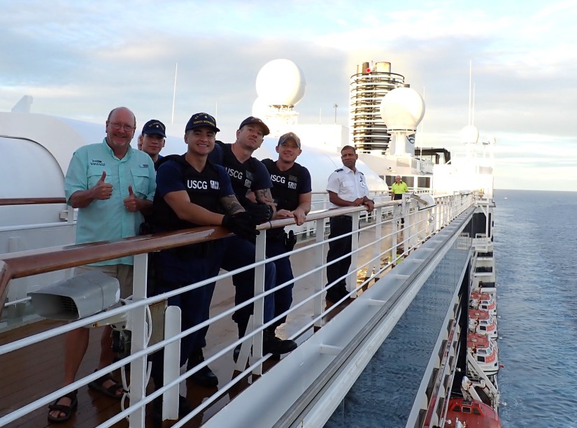
Guam is a U.S. Island Territory with a population of 174,000 people. Of that, about 22,000 soldiers call this island home. With visits from only 5 cruise ships a year, locals here were excited to welcome us. Including a small group from the Coast Guard who came aboard to aid with the required face-to-passport Immigration Clearance. They were quite friendly and marveled at the Zuiderdam’s itinerary.
Once the ship was cleared, we walked beyond the port gates to meet with the owner of Ocean Encounters, for a morning shore dive. Not far from where the Zuiderdam is moored, we slipped into the calm waters to find a beautiful underwater neighborhood. Residents included two turtles, clown fish amidst their host anemones, haute Moorish idols and other colorful tropical fish and the biggest sea cucumber we’ve ever seen! The reef structure was interesting as well, as were the green and purple elephant ear sponges.


Returning to the ship to shower, we had a quick lunch and then boarded a shuttle bus to the Dusit Thani Guam Resort.

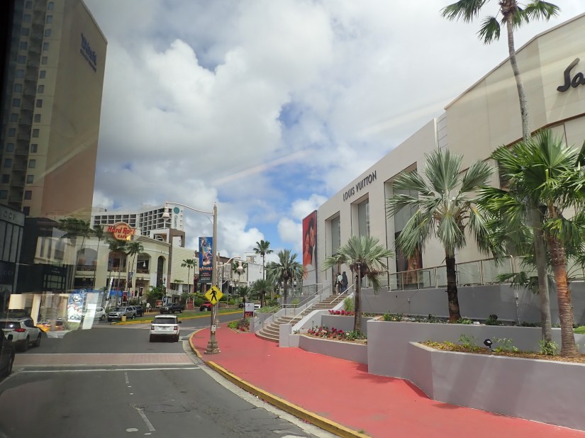
This upscale area of Tumon Bay offers gorgeous beaches as well as high-end luxury shopping including Prada, Tiffany, Cartier, Coach, etc.

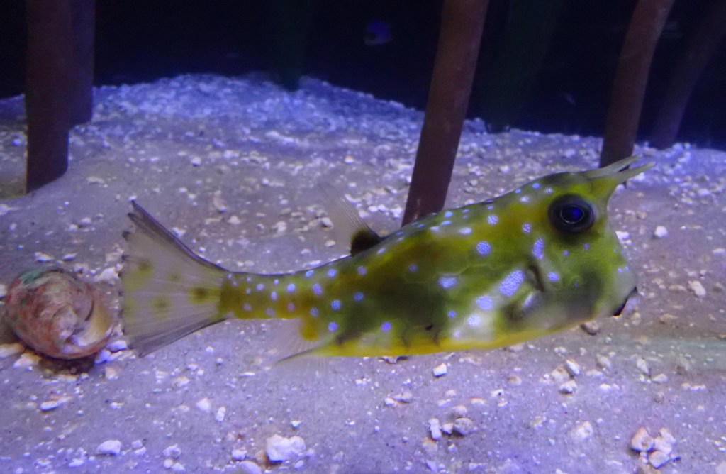
It was fun to gawk at the astonishing prices of these luxury goods, but since we are not shoppers, we opted for the adjacent Aquarium of Guam. We walked through their 319-foot long tunnel (one of the longest in the world) and saw sharks, stingrays, a green sea turtle and giant grouper swimming all around us.
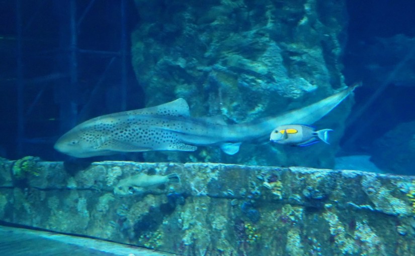
Approximately 800,000 gallons of sea water are held back by 2.5 inches of acrylic. As if this morning’s scuba dive wasn’t enough, this was like diving the Pacific Ocean and Philippine Sea without getting wet.

The hot and humid climate here certainly supports prolific topical vegetation and an island vibe. But generally, the overall architecture of this island is quite unremarkable due to wartime bombing and immediate need to rebuild, resulting in understandably utilitarian structures.

As we cruised out of Apra Harbor, the sun shone on the cliffs of Orote Point. It was a lively Sail-Away celebration with plenty of participation and scenery, including a U.S. Coast Guard escort.

We will sleep through our overnight passage of 135 miles to Saipan.
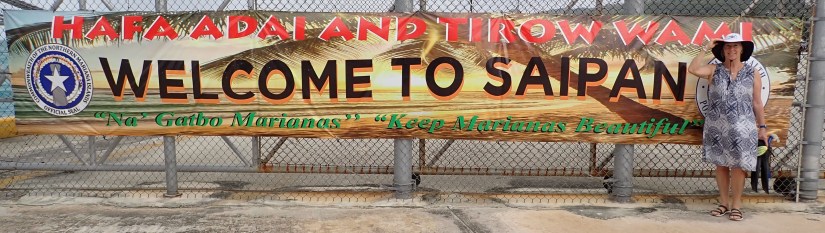
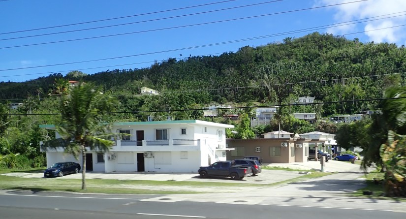
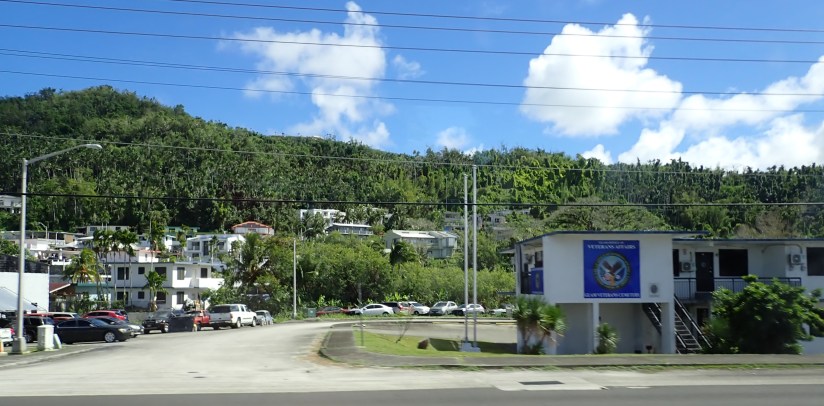
Saipan is a U.S. Commonwealth since 1986, with a population of 48,000. It is located north of Guam and is the largest island in the Mariana Islands archipelago.

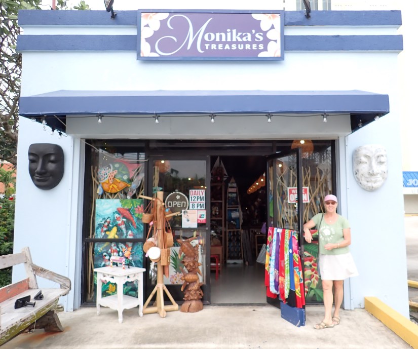
Our intention was to ferry to the adjacent Manahaga Island and snorkel its marine conservation preserve, but high winds and coastal current on this cloudy day convinced us to choose otherwise. Instead, we did as good tourists do and hopped on the shuttle that took us to downtown Garapan.

This village of 3,600 people was quiet and appears to be recovering and rebuilding from a devastating typhoon last year, as many businesses were closed and the resort hotels along the oceanfront were sparsely populated. However, this boutique was open and interesting!
Micro Beach was picture-perfect with its powdery-fine white sands gently sloping into intensely turquoise water!

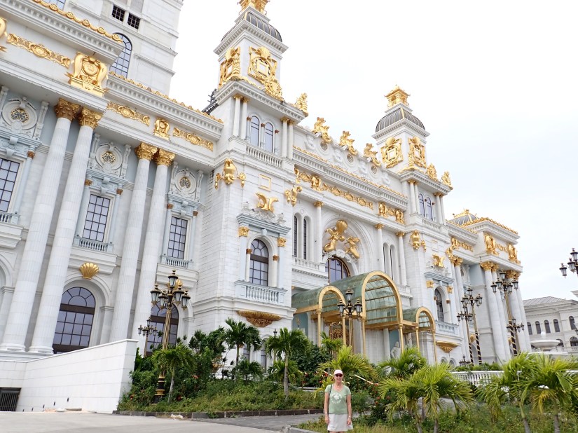
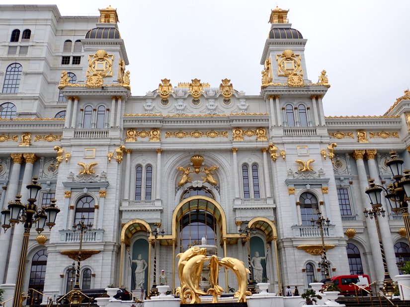
The most intriguing building is the incredibly opulent but defunct Imperial Palace International Casino building. Mired in scandal, construction ceased in April 2020. Sadly, salt air and typhoons have further aided in the corrosion of this once polished casino and hotel.
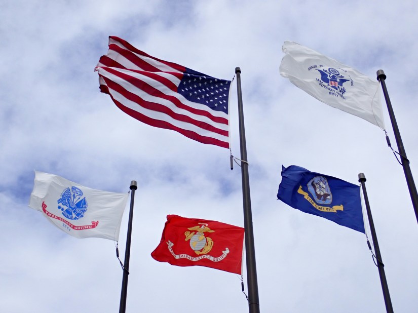
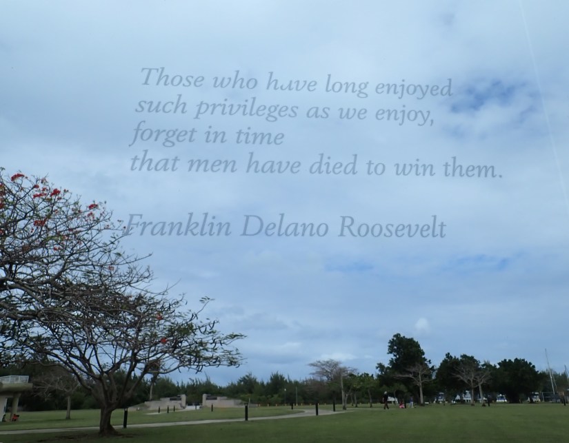
But most importantly, Garpan is home to a national park that honors the American and Marianas people who gave their lives during WWII.

Respectful but sobering exhibits portray the very brutal battles that were fought here.
There was plenty more that Saipan has to offer that we did not have time to see, leaving something for our next visit someday.
Lastly, as we had all anticipated, it has been announced that the Zuiderdam will not be transiting the Red Sea due to instability in the region. Rather after Sri Lanka, her revised itinerary will take us to the Maldives and Seychelles, then African ports before and beyond the Cape of Good Hope. Attached revision below:

“One recognizes one’s course by discovering the paths that stray from it.”
— Albert Camus
Next stop: Japan! Stay tuned …
Discover more from Life in Nautical Miles
Subscribe to get the latest posts sent to your email.

Beautiful imagery Monika! What type of camera do you use to capture your land pictures?
LikeLike
Hello Alana! Thanks for your comment. Our photos are taken with a very humble point-and-shoot style camera. Olympus “Tough” camera is waterproof to about 50-60 feet (no housing reqd). It’s been a great, rugged little camera for travel; above ground and beneath the water.
LikeLike
Thank you for sharing your “worldly” adventures! It makes us feel like we are there with you! Your photos are great and you write in a very colorful manor!!
LikeLike
Thanks Dave! Hope you and Jackie are enjoying yourselves in the south. All the best to you both!
LikeLike
Love reading these Tom and Monica !
LikeLiked by 1 person
Thanks for reading, Doug! Hope all is well at home…sounds like winter has been fairly mild this year (so far). Stay warm!
LikeLike
So much fun! Loved this.
LikeLiked by 1 person
Thanks for sharing info and pics…especially Hawaii…brought back many memories of our trips there!
Love following your travels.
All well here on our beloved Island…hard to believe we’re now just a month out to departing.
Cheers,
K and J
LikeLike
Hello you two! Hawaii is a special place indeed- As is STX! One month to go?….. already?? Where does the time go-
Enjoy yourselves!
LikeLiked by 1 person
Great to see all these posts I spent, !9 months Flying between many of these Islands while stationed in Guam in the late ’60s with the US Navy!! I am sure it is a lot different today!
LikeLike
Thank you for your service, Kenny! We thought of you, as we viewed the abundance of history here. And while some things may have changed here, quite a few places look frozen in time. I’ll bet some of your old haunts might still be around! 🙂 Thanks for your note!
LikeLike
Hi Monika and Tom, I very much enjoyed your travel log and pictures. Hope you stay well, ❤️Gitta
LikeLike