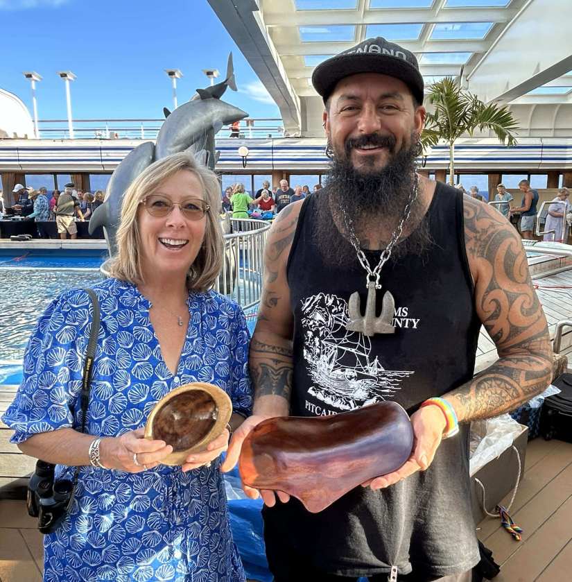

Sometimes the best travel days are the ones you never planned.
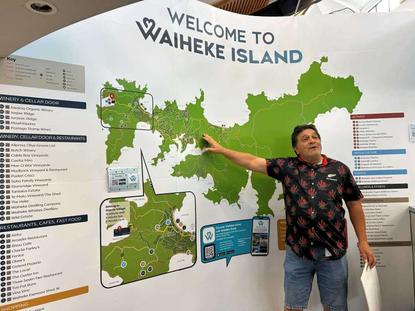
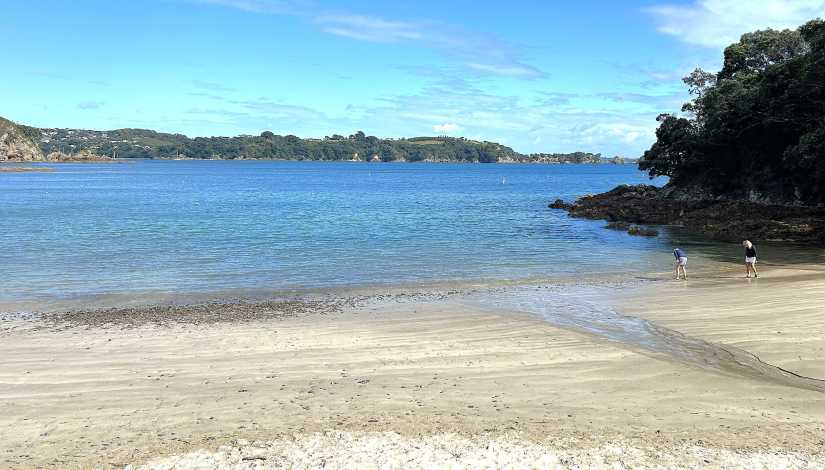
When a developing tropical cyclone cancelled our scheduled stop in Tonga, we suddenly found ourselves with a bonus day in Auckland, New Zealand. With an extra day there, ten of us hopped aboard a half-hour ferry from Auckland, bound for beautiful Waiheke Island.
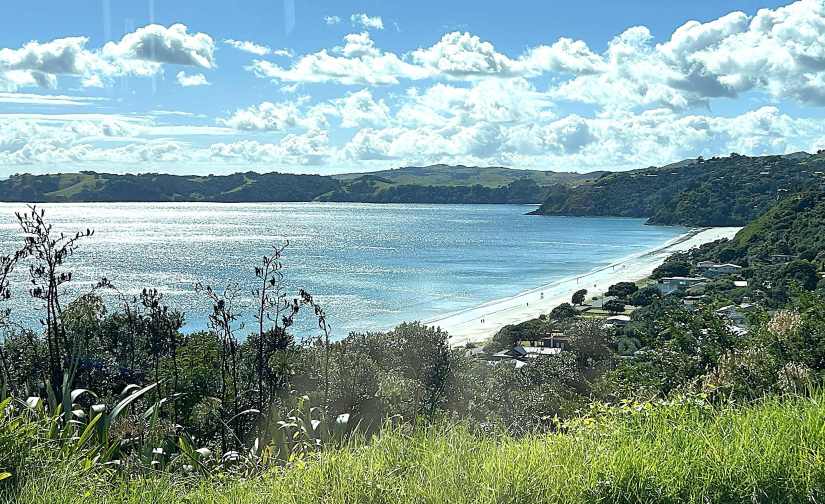
Our local guide Darren met us at the dock in the small village. The island’s permanent population is only about 10,000, but in season it can swell to 35,000 as vacationing Kiwis flock here for beaches, watersports, and—perhaps most famously—the vineyards.
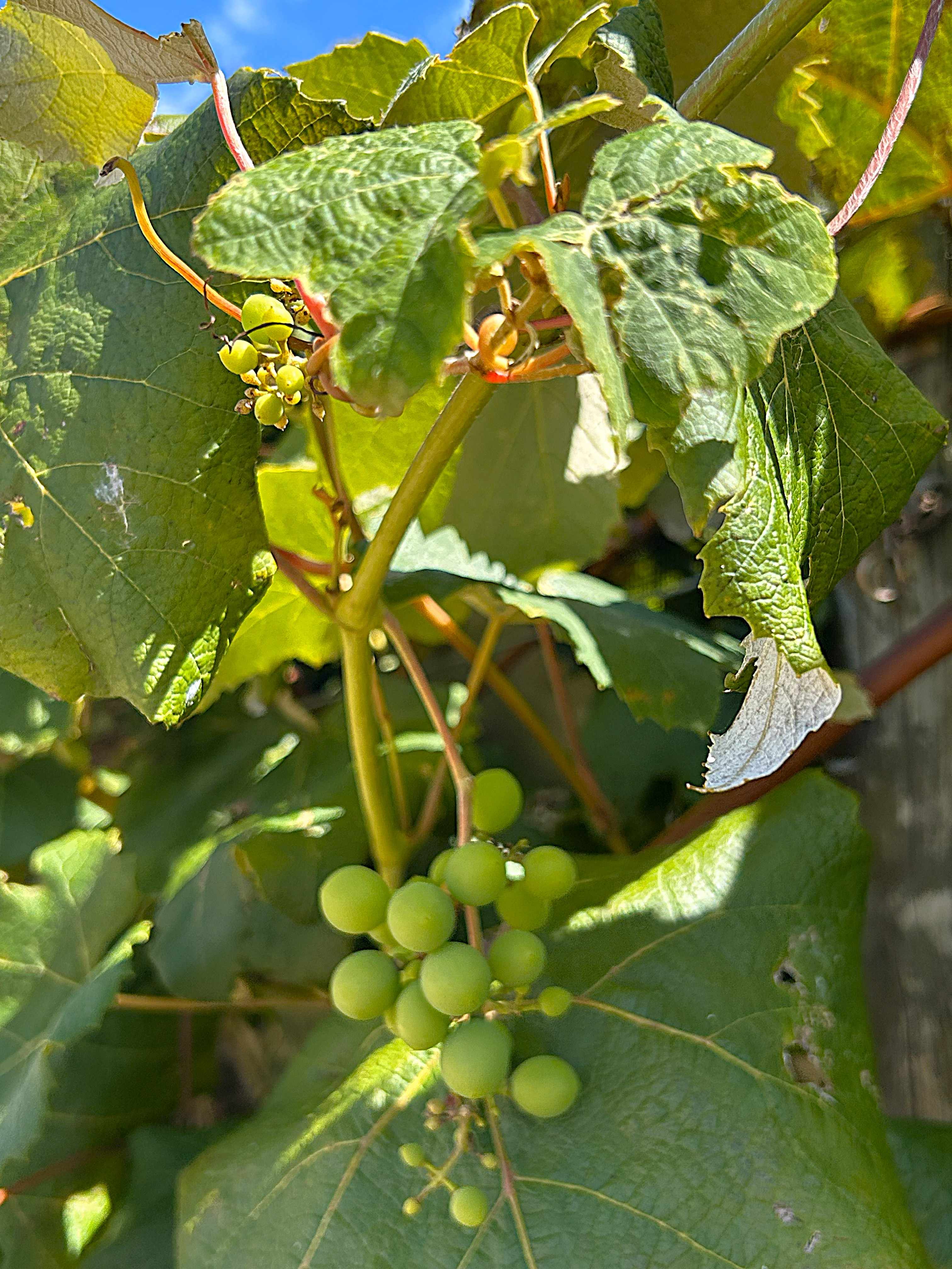
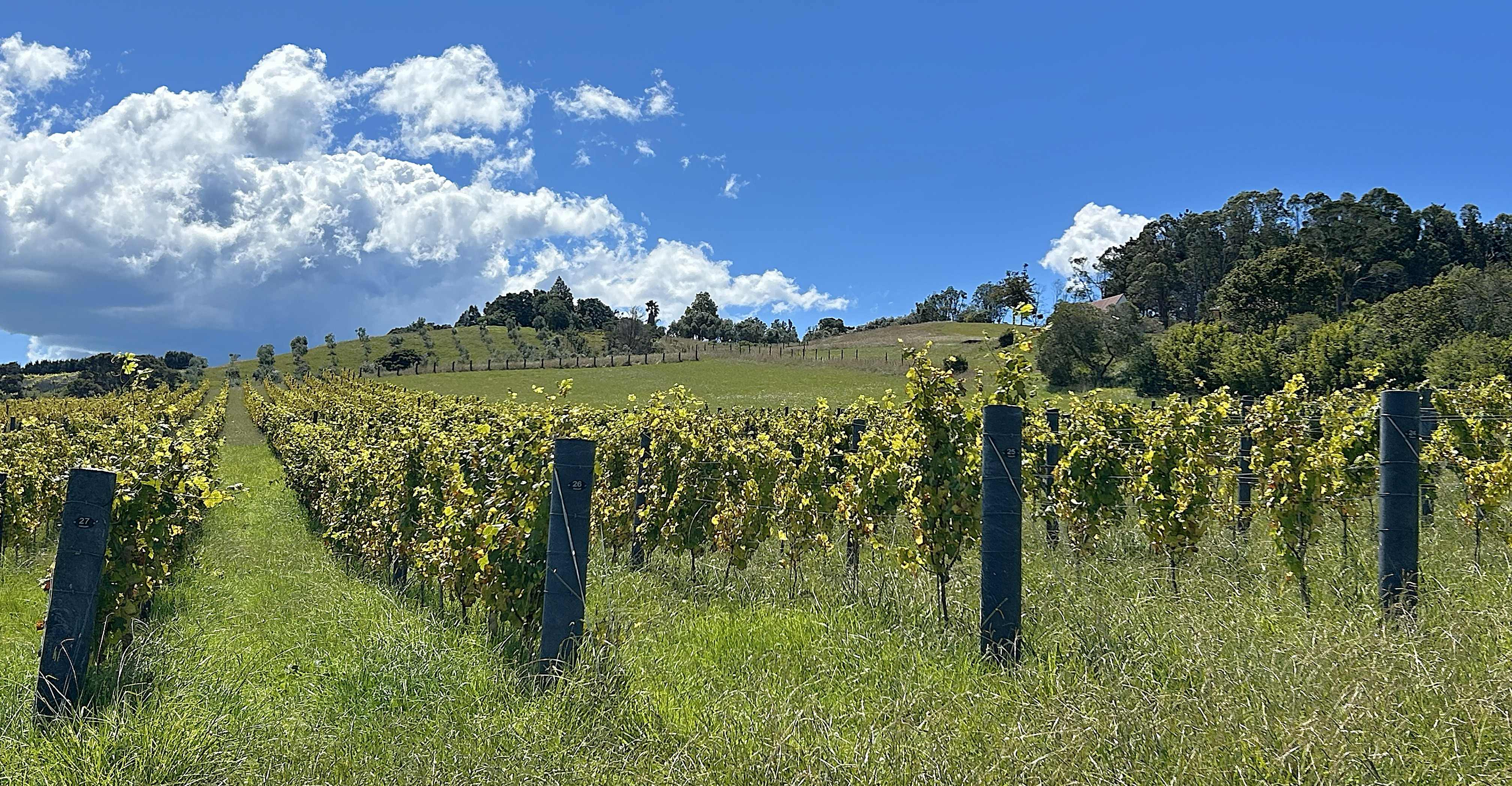
Roughly 30 boutique wineries are scattered across 36 square miles of rugged, hilly terrain, producing excellent Syrah, Merlot, Cabernet Sauvignon, Chardonnay and Pinot Gris.
It was a sunny, breezy day in the low 60s as we climbed into Darren’s van and set off along the island’s dramatic coastline. Between scenic overlooks he shared stories of the island’s history and what life is like for locals.
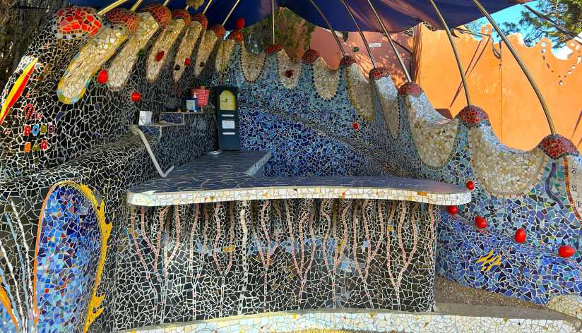
Our afternoon included four winery stops. First was Casita Miro, a delightfully quirky spot with Barcelona influences—whimsical gardens and pathways decorated with colorful mosaic tiles. https://www.casitamiro.co.nz/
Next came Batch Winery, the island’s highest vineyard, with sweeping views over the Hauraki Gulf. We happily sampled their wines while nibbling on generous platters of meats, cheeses and vegetables. https://www.batchwinery.com/
Then on to Postage Stamp Wines, a rustic countryside winery where we relaxed in a humble backyard oasis surrounded by lavender, dahlias, and fruit trees—kefir lime, mandarin and olives. They also keep bees and produce their own honey. https://postagestampwines.co.nz/
Our final stop was the well-known Mudbrick Winery & Restaurant, where beanbag chairs dotted the hillside, inviting visitors to lounge with a glass of wine while taking in the panoramic views. It’s easy to see why this beautiful setting is also a popular wedding venue. https://mudbrick.co.nz/
Our visit to Waiheke Island was wonderful—and clearly deserving of a longer stay next time.
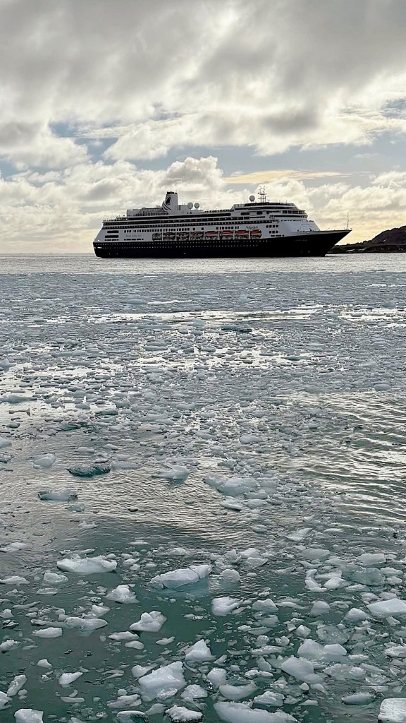
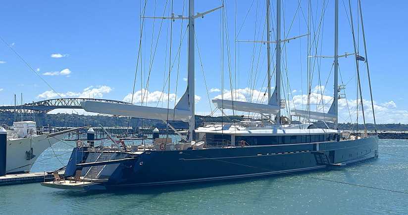
We ferried back to Auckland around dinner and found pizza along the waterfront, overlooking the marina filled with impressive sailboats and motor yachts. Including Sea Eagle, a 265-foot-long, 3 masted superyacht. We read that it is the world’s largest aluminum sailing yacht (as of 2020). For perspective, the 2 full-size teak Adirondak chairs on the lower aft platform look like dollhouse furnishings!
For Day 2 in Auckland, Tom and I set out to explore on foot. On a cool, breezy morning we headed uphill to Albert Park, and adjacent University of Auckland, where students were returning for the fall semester. They sure do need nicer diploma frames in their bookstore–just saying.
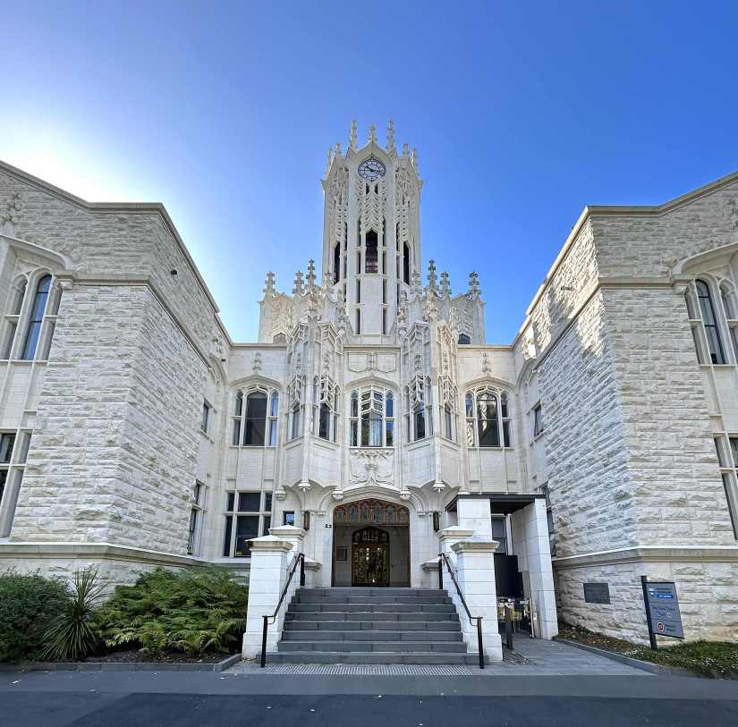
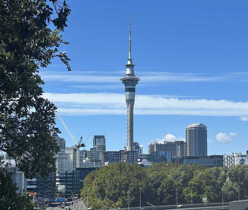
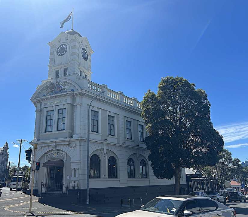
From there we passed the nearby Sky Tower, standing 1,072 feet tall, before continuing on to the historic and upscale Ponsonby district for lunch at a charming café.
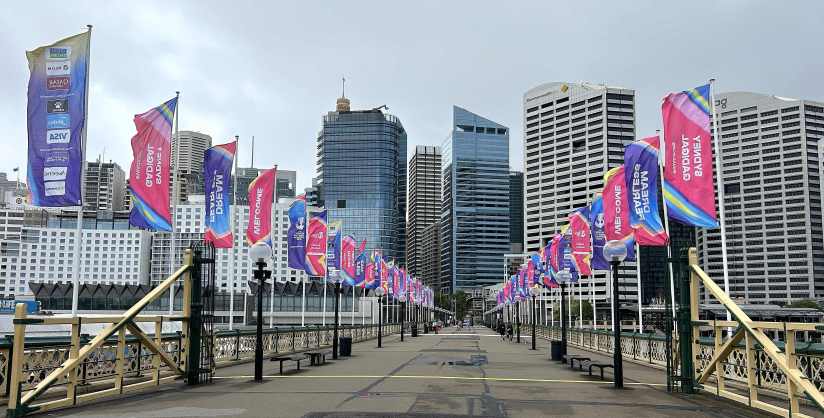
Later we wandered back toward the marina and wharf area, buzzing with preparations for the upcoming Auckland Boat Show.
After nearly eight miles on foot, we returned to the ship tired but happy…another memorable day exploring beautiful Auckland. If we hadn’t been so worn out, we might have stayed awake to watch the complete lunar eclipse that evening, as Volendam sailed along the New Zealand coastline northward 177 miles to the Bay of Islands.
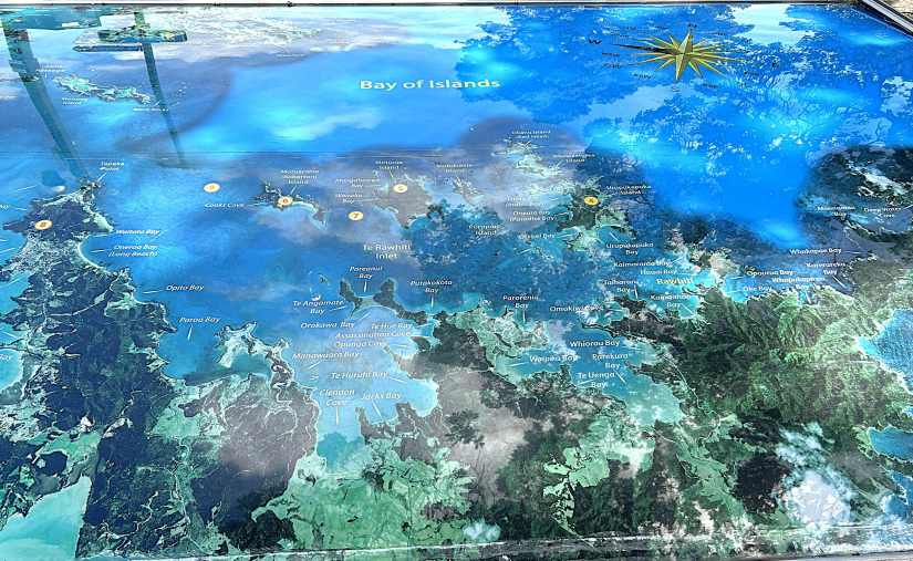
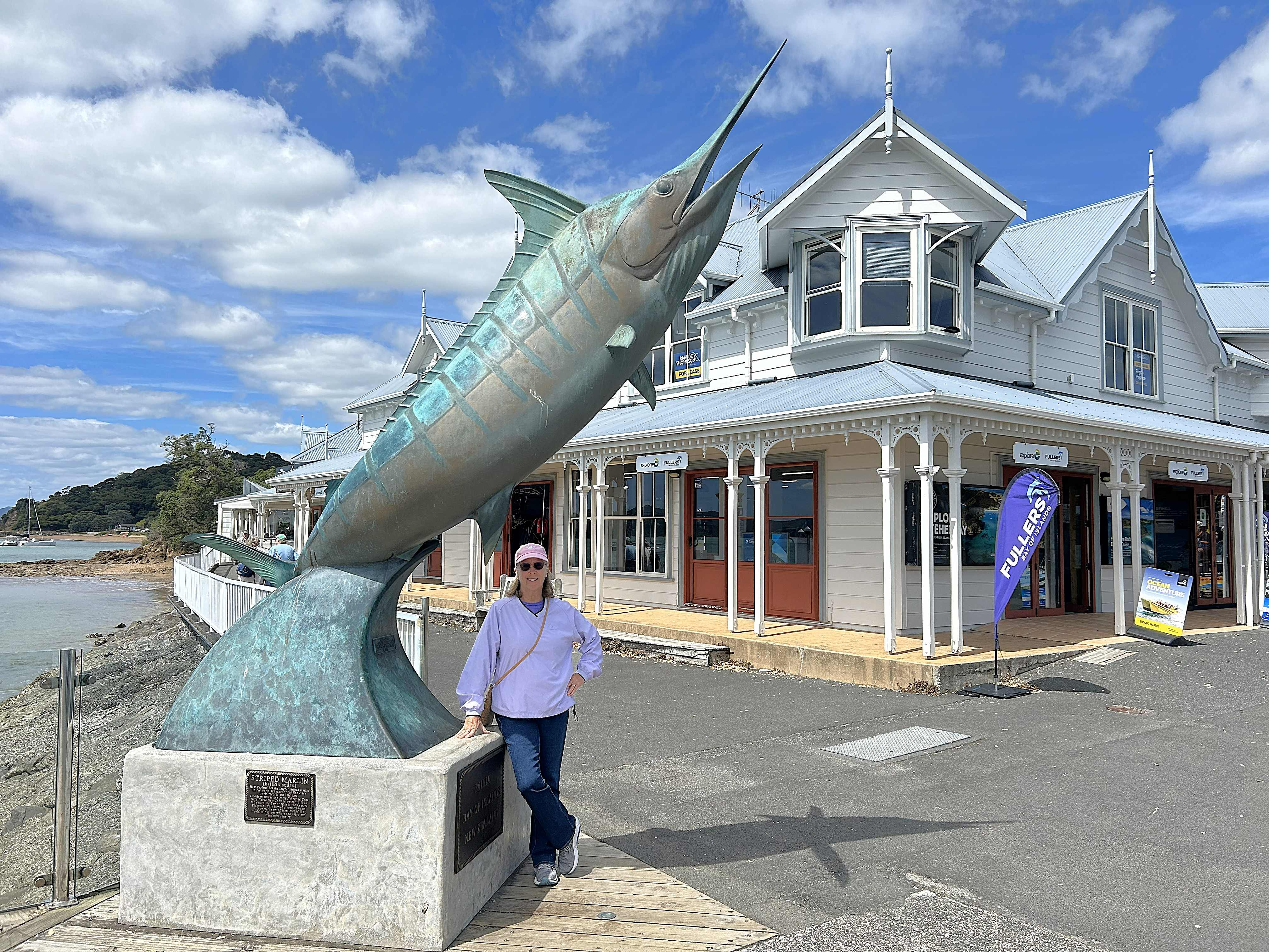
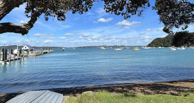
In the stillness of dawn, our ship anchored just offshore of the small towns of Paihia and Russell. For this half-day stop, we ferried less than two miles between the towns to get a feel for each one.
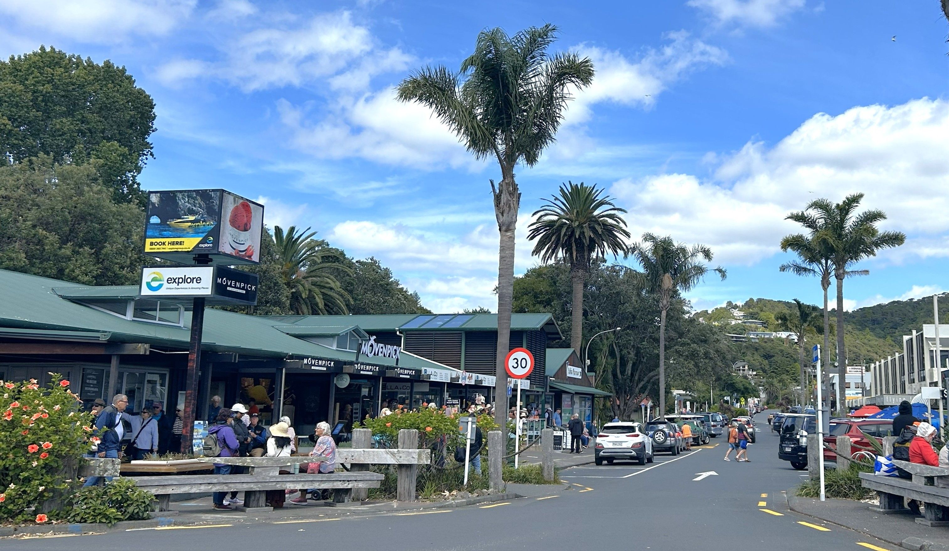
We strolled through farmers markets and artisan craft barns, enjoyed coffee by the water, and stopped for seafood chowder.
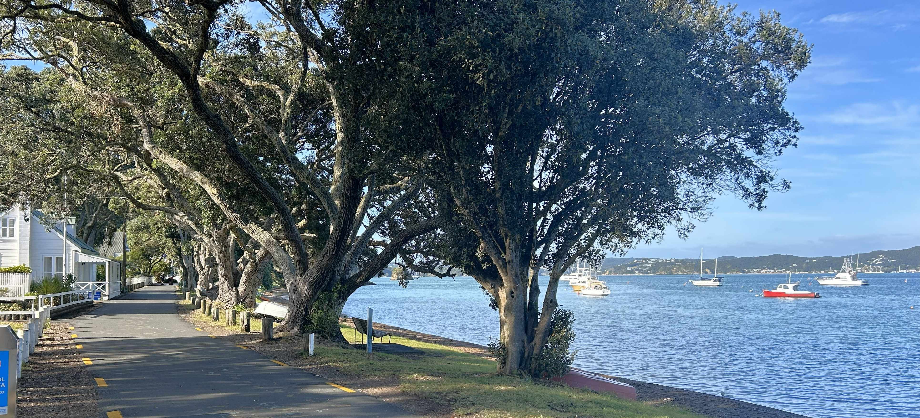
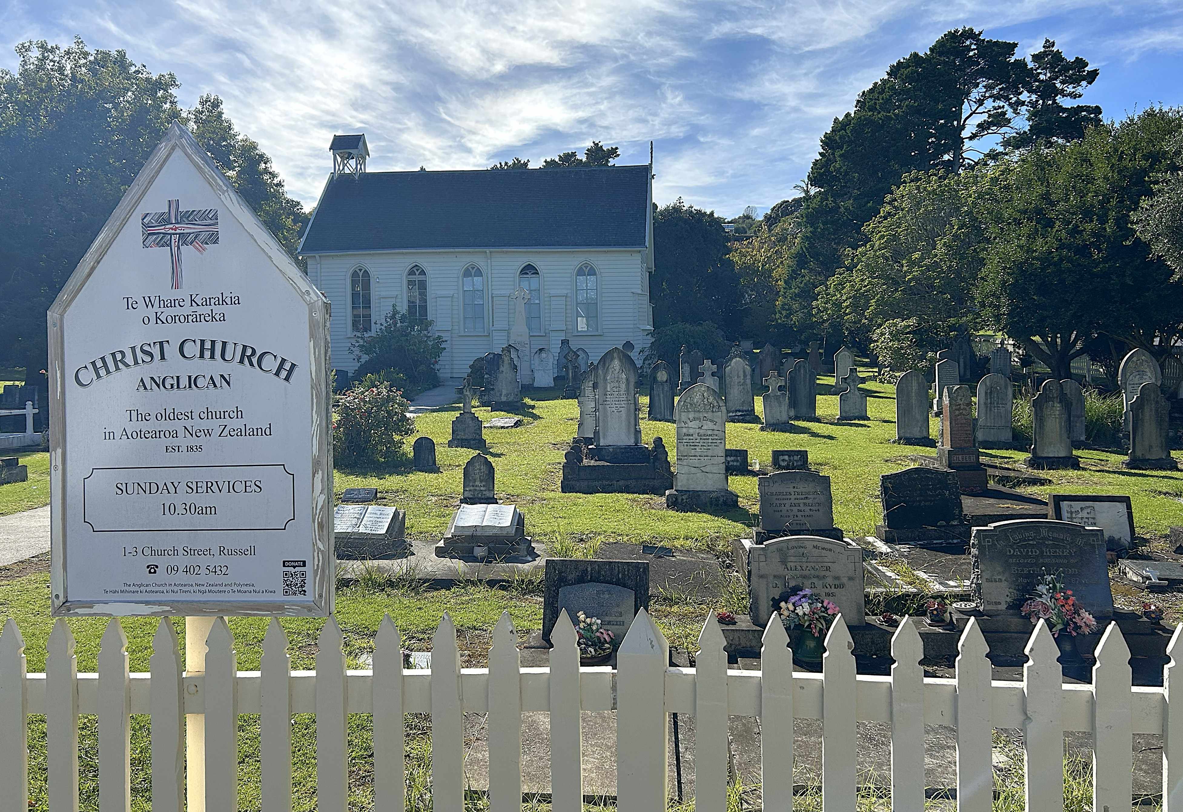
Ferries and small boats kept a steady parade moving along the shoreline, giving the towns a constant hum of activity.
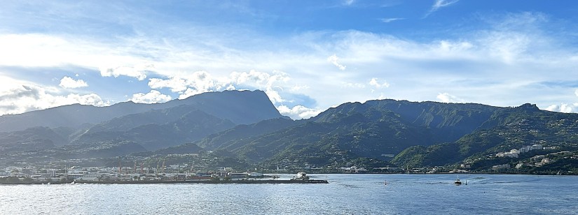
The afternoon sailaway was scenic. Volendam passed dozens of sailboats and navigated among small islands and rocky outcroppings before reaching open water. We followed the coastline north to New Zealand’s tip, then turned west for a two-day crossing of the Tasman Sea.
As we ate dinner, we watched the coastline fade behind us and thought ahead to the next stretch of our journey….Australia.
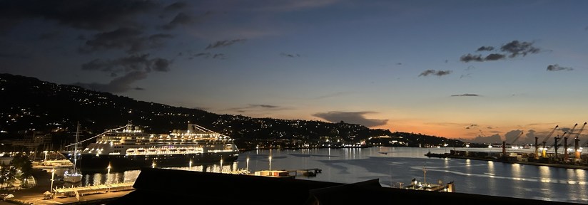
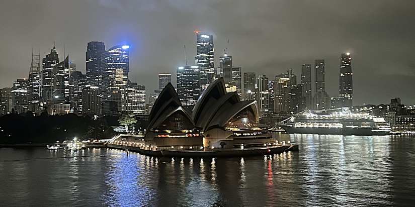
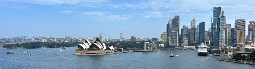
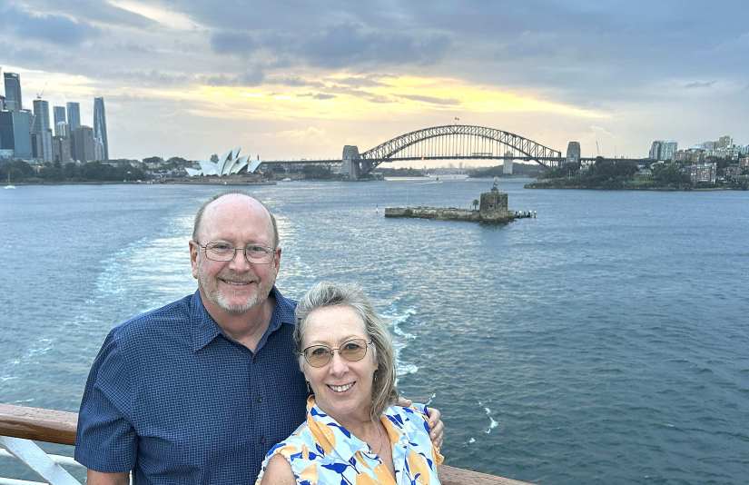
The city lights reflect on the water in Sydney’s 5am darkness, as Volendam glides past the iconic Opera House and ducks beneath the Harbour Bridge enroute to her berth.
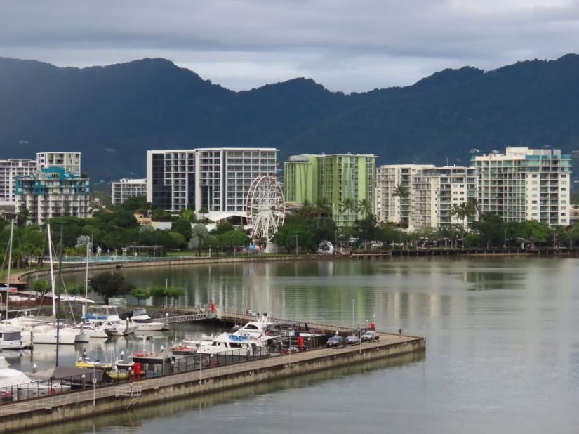
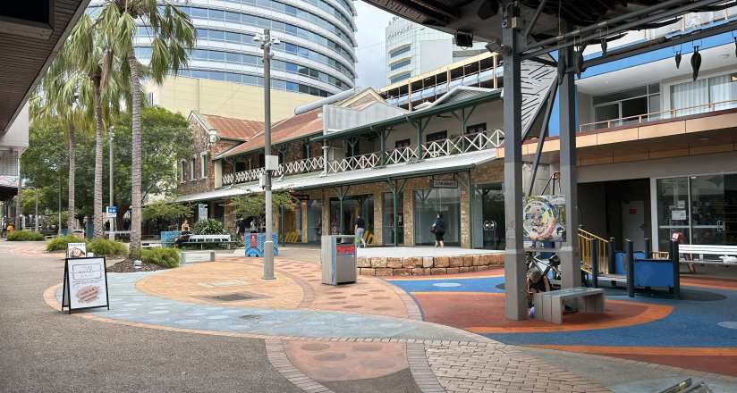
By 8:15am, we had cleared immigration and boarded a shuttle bus from White Bay to Sydney’s city center. Sydney’s public transportation is accessible and clean, making it easy to get around over the next two days by ferry, tram or bus.
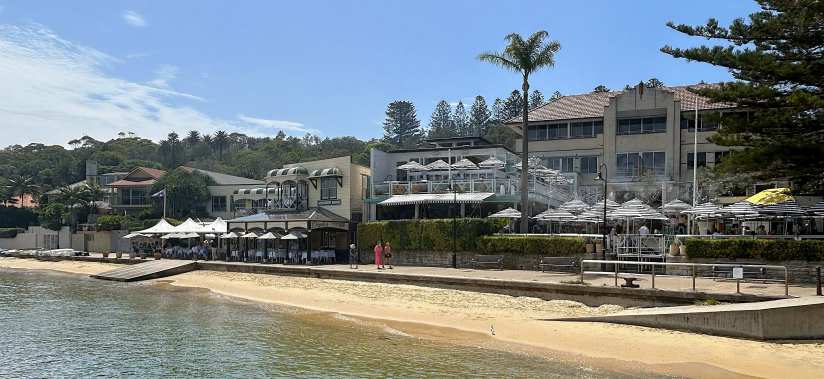
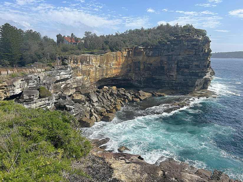
Having explored Sydney pretty thoroughly during previous visits, we chose to take a 20-minute ferry to Watson’s Bay. As the seaside town opened for the day, cafes set up umbrellas while seagulls grabbed croissants from plates.
Taking advantage of the cool morning, we hiked up the upper ridge, enjoying breathtaking views from the cliffs down to the rocks below.
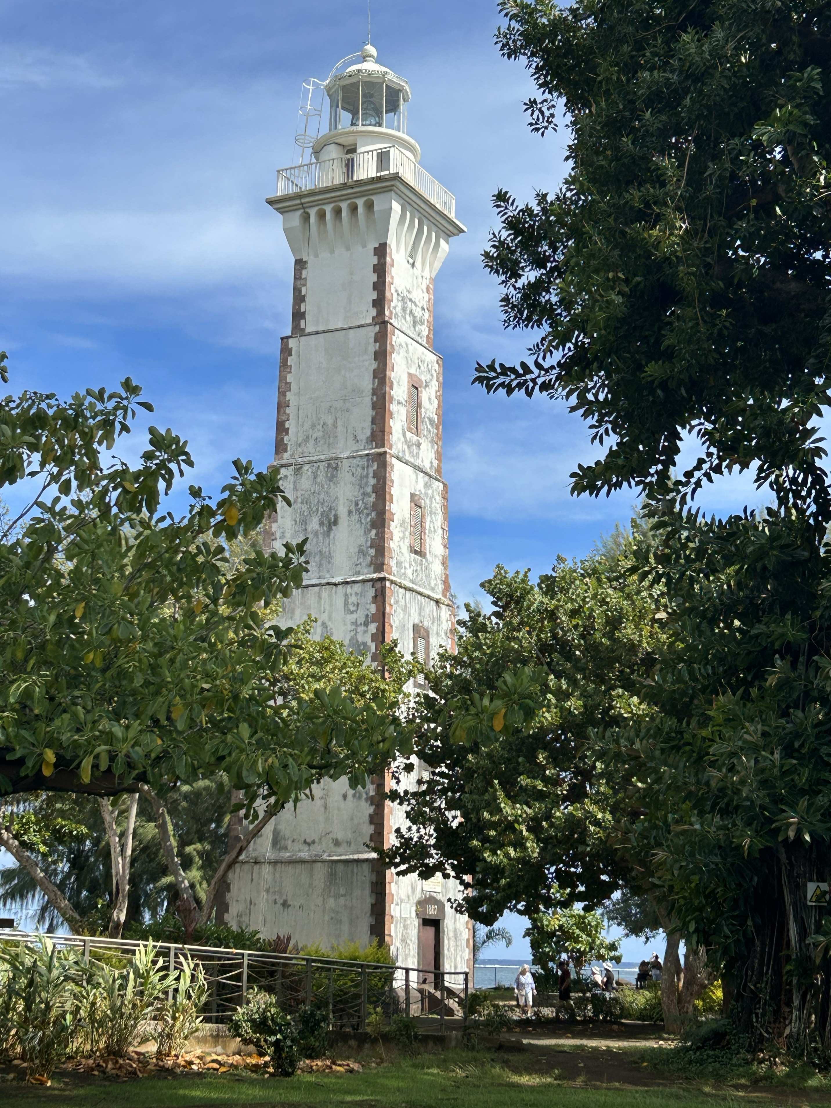
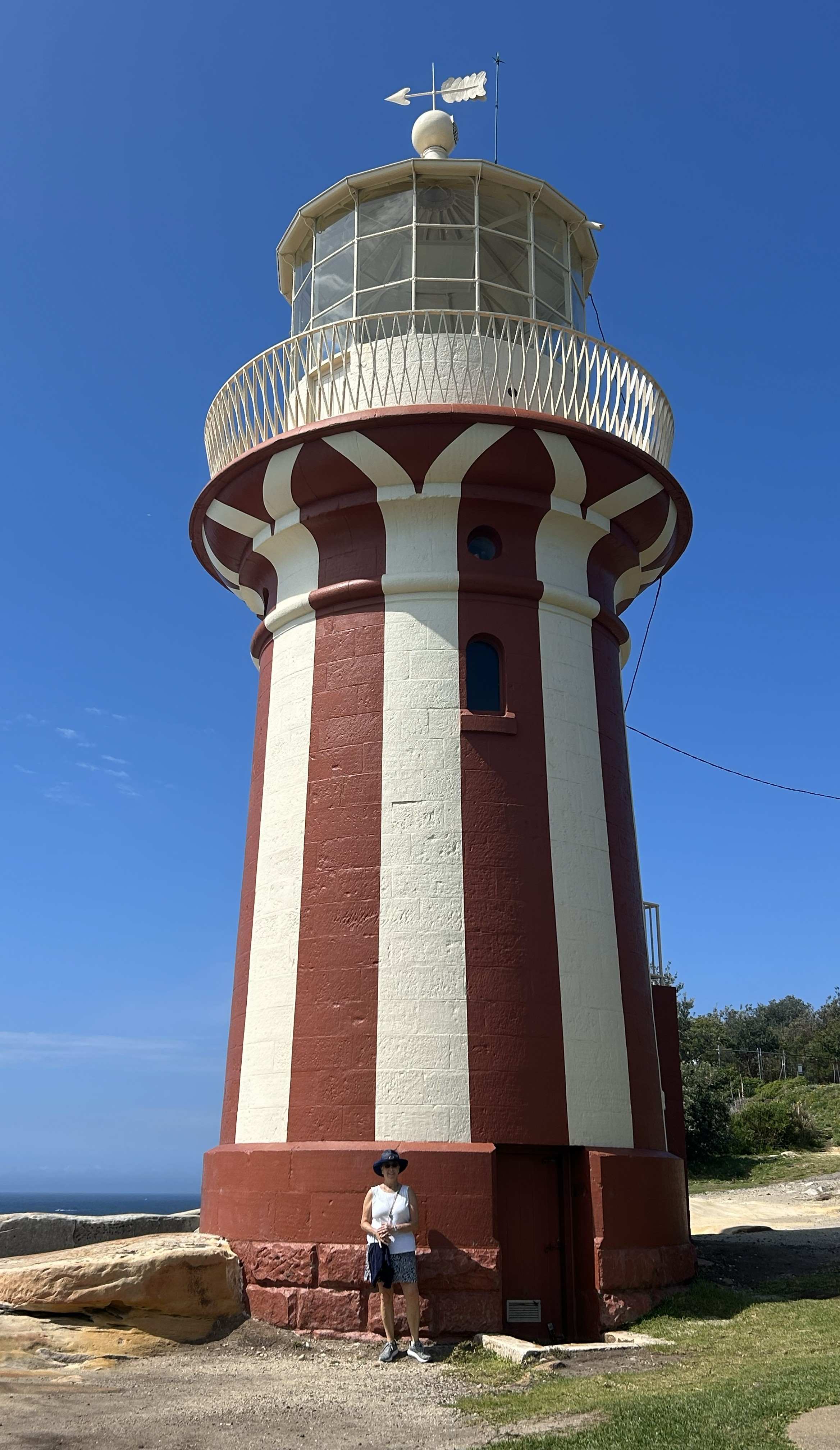
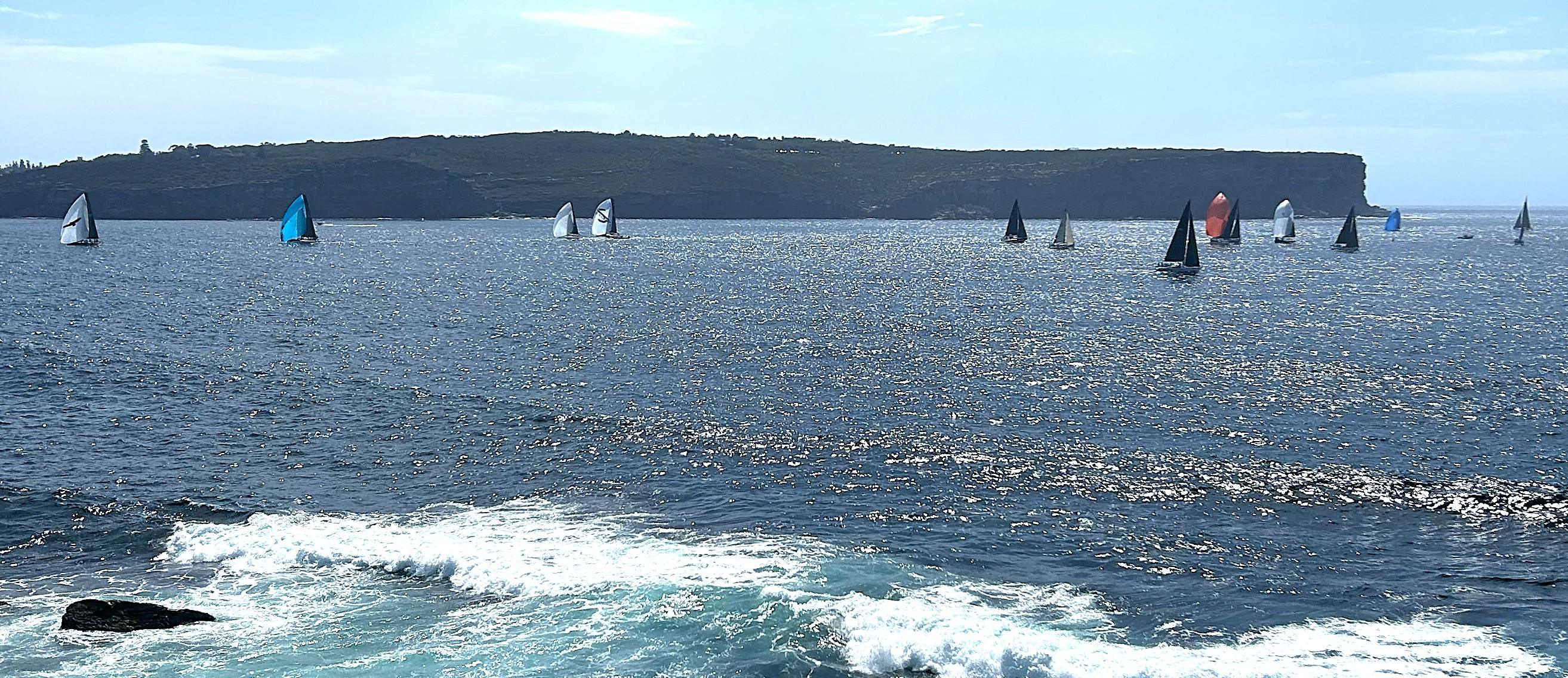
As we followed the trail north, we reached the Hornby Lighthouse, which I’d painted a few years back. The sweeping view featured a Saturday regatta, with dozens of sailboats showing off their colorful spinnakers as they sailed downwind.
When we returned to the town center, we were fortunate to grab the last table right by the water at Doyle’s Restaurant—a well-known spot for fish and chips. We shared a very generous lunch serving before catching the ferry back to Circular Quay.
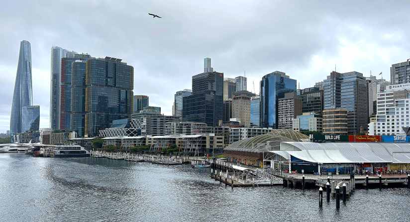
From there, we took another ferry to Milson’s Point across Sydney Harbor, then walked over the Sydney Bridge, ending up at The Rocks for refreshments and people watching.
That evening, we had dinner on board the Volendam, just as rain showers started to loom in the forecast.
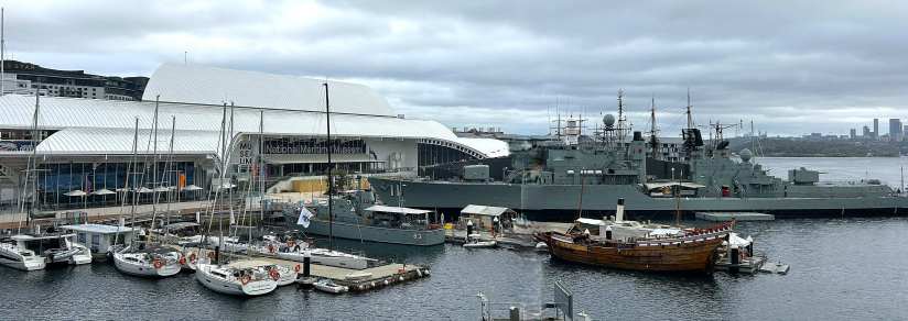
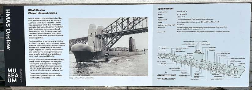
Sydney Day 2: As periods of rain continued in the forecast, we opted to visit the Sydney Maritime Museum in Darling Harbour. While the rain held off, we toured the 389-foot destroyer ship HMAS Vampire, and the 295 ft submarine HMAS Onslow, both tied to the docks.
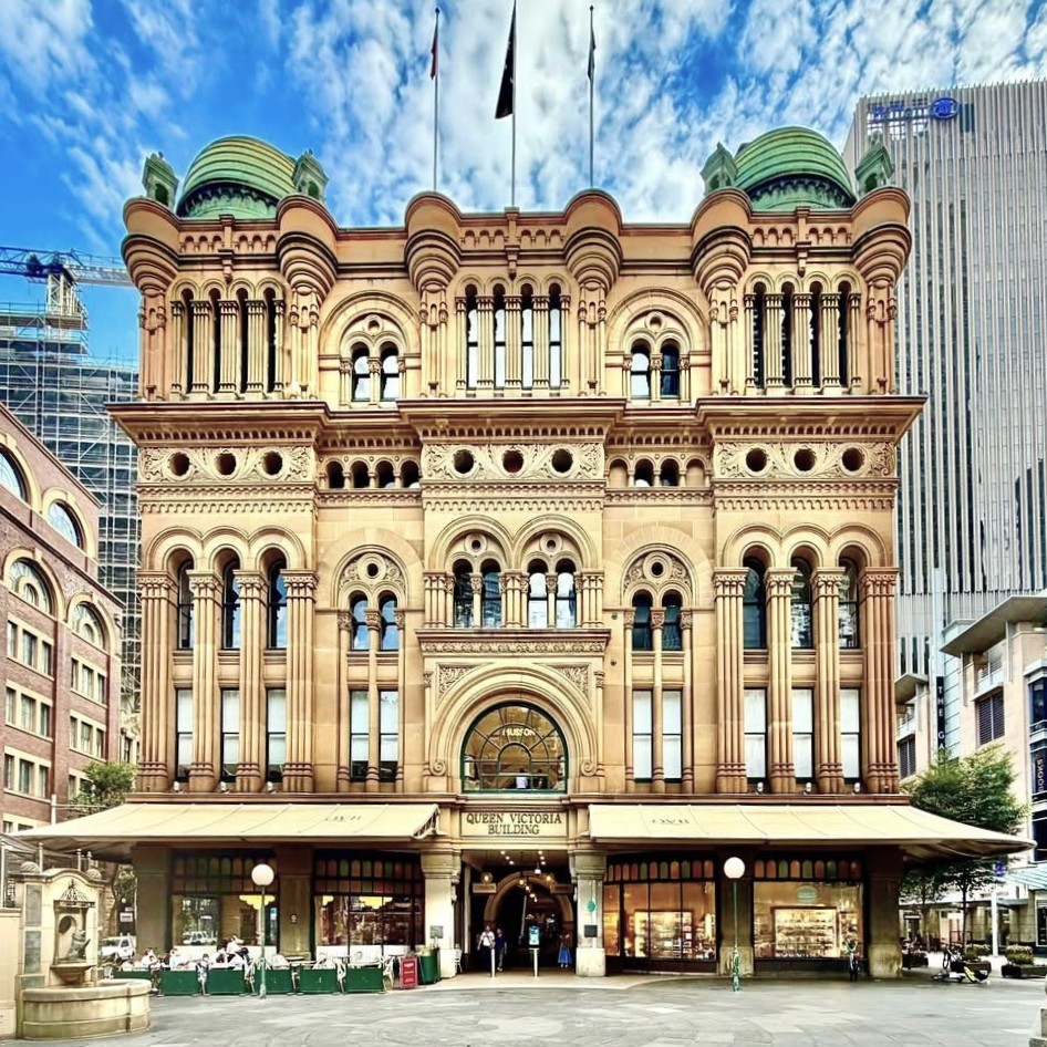
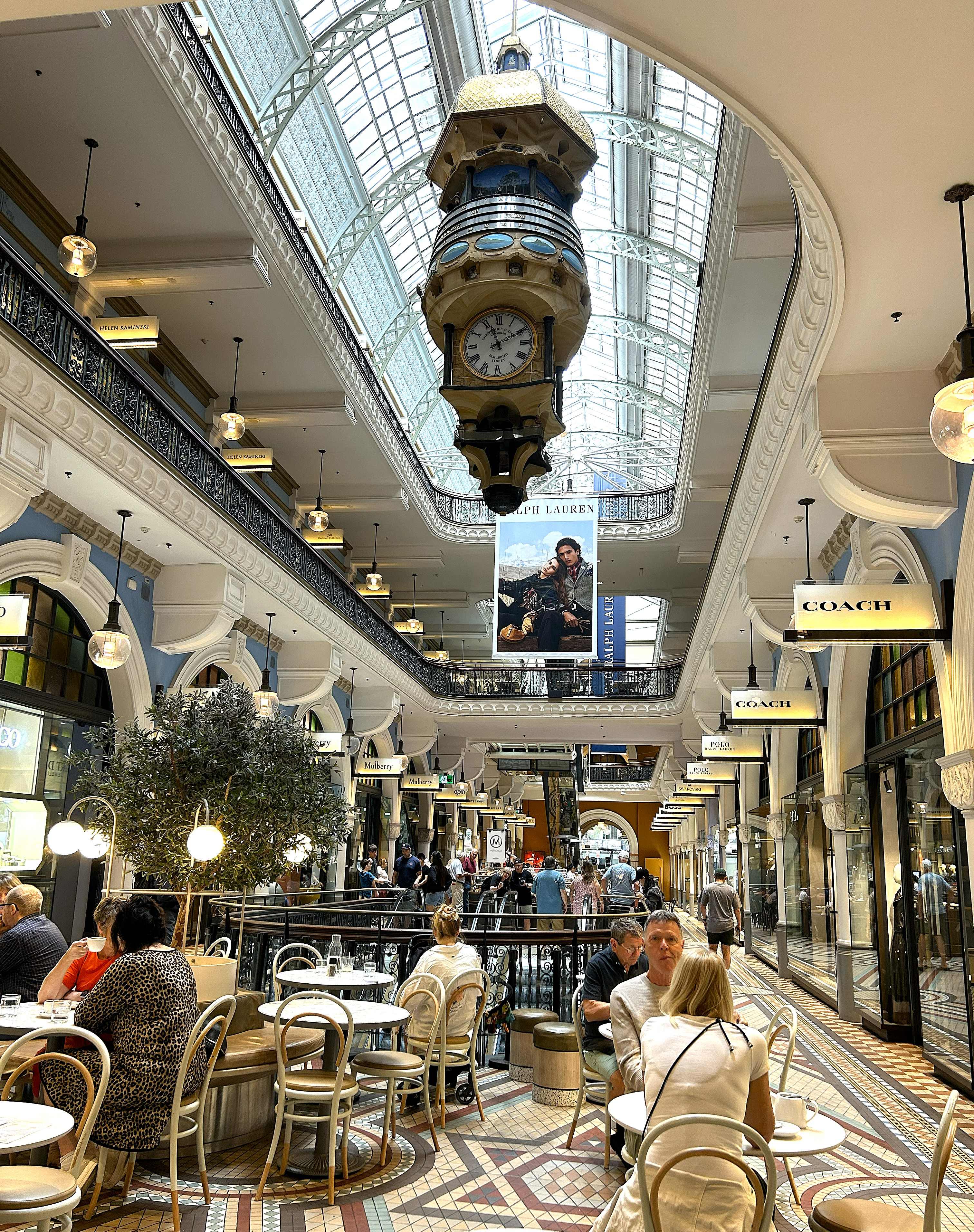
After window shopping in the historic Queen Victoria Building and a late lunch nearby, we returned to the ship.
At sunset, Volendam’s horns blast their farewell to Sydney as we sailed out of the Harbor. Reaching open water, she turned north into 30 knots of wind and several meter swells. We’ll follow the coastline up for 2 days to Townsville.
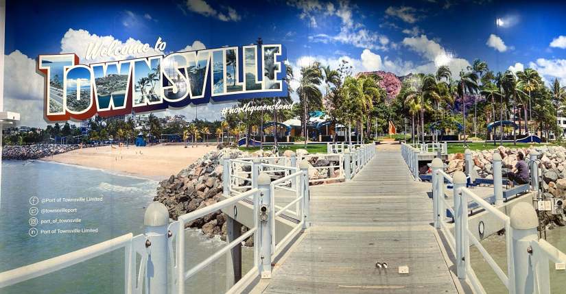
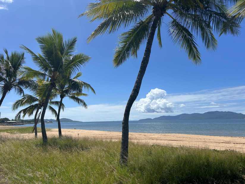
Townsville – Hot and muggy, but with the overnight rain finally moving out, we set off on a six-mile walkabout along The Strand, a beautiful waterfront promenade that stretches along the shoreline.
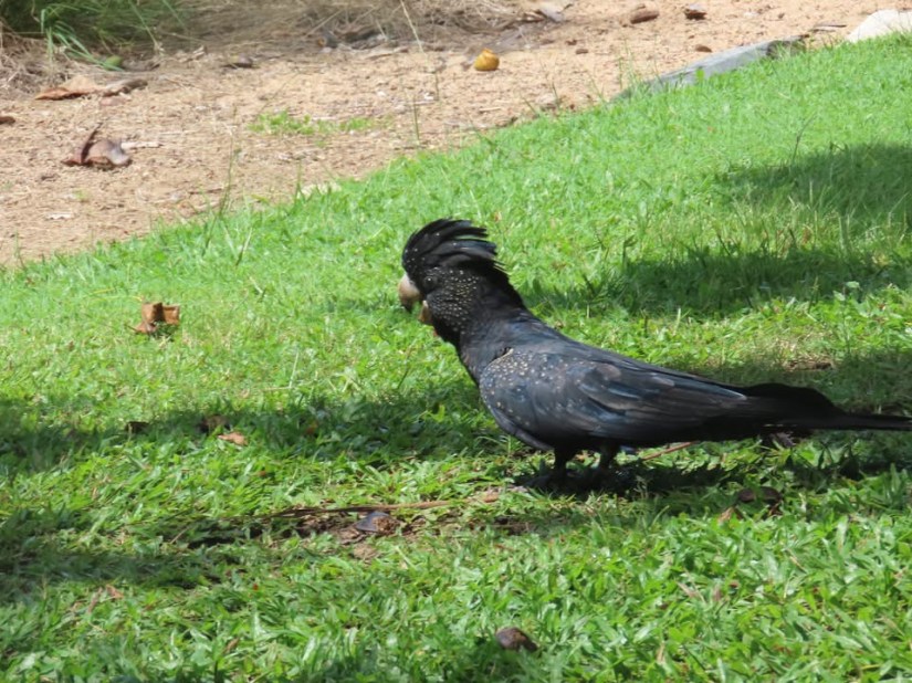
Along the way, small green parrots and large black cockatoos, all noisily squawked our arrival.
We stopped to chat with a few fishermen casting from the pier. They had seven rods lined up in hopeful anticipation of barramundi, flathead, or even sharks. Unfortunately, there was no action while we were there, but spirits remained high.
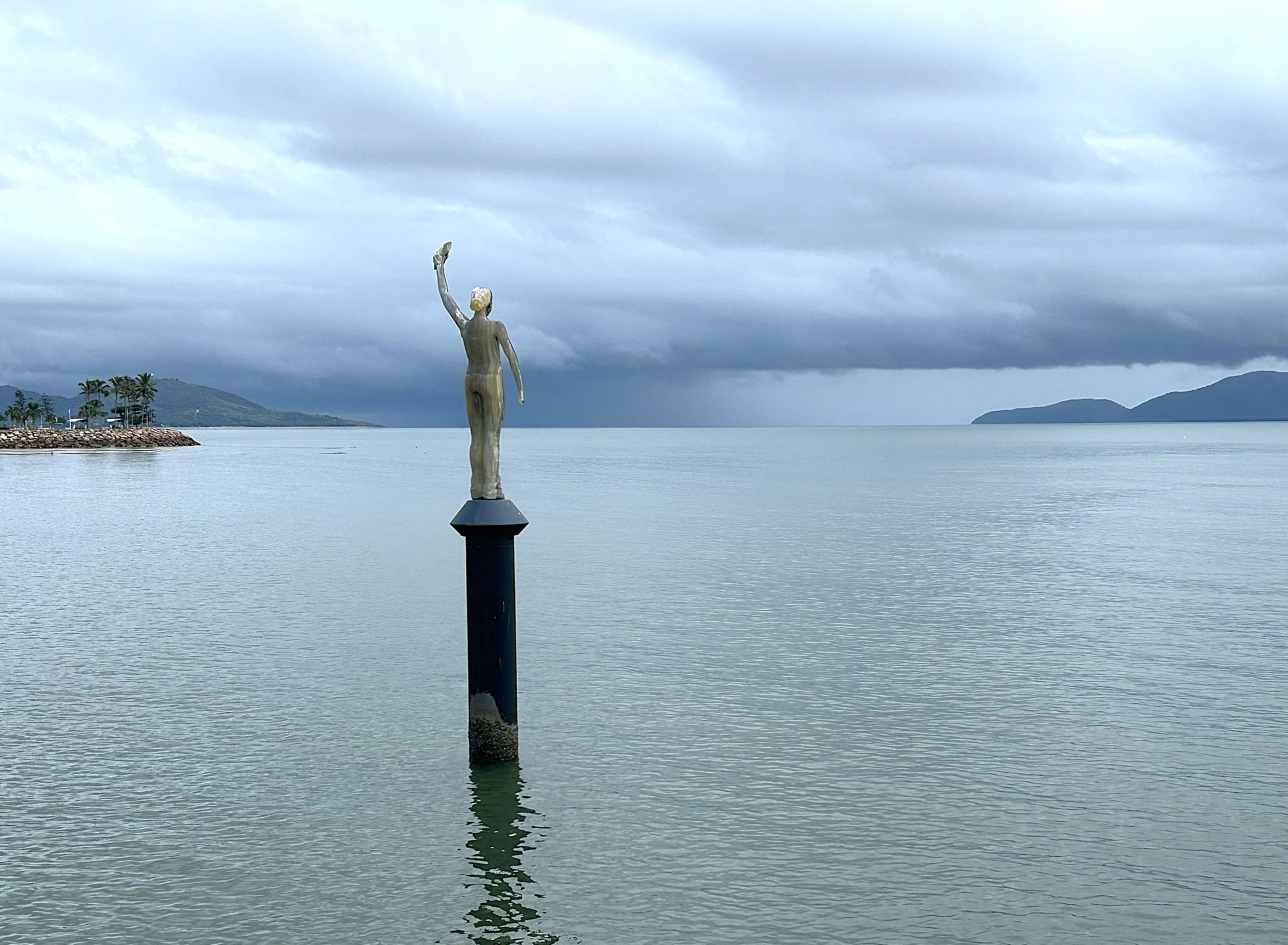
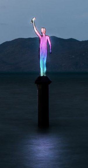
Nearby, standing in the water, was the striking The Ocean Siren by Jason deCaires Taylor. The sculpture subtly shifts color based on daily water temperature data, serving as both art installation and a quiet warning about warming seas and the threat of them to Great Barrier Reef corals. My daytime photo is on the left and illuminated version is courtesy of Museum of Underwater Art.
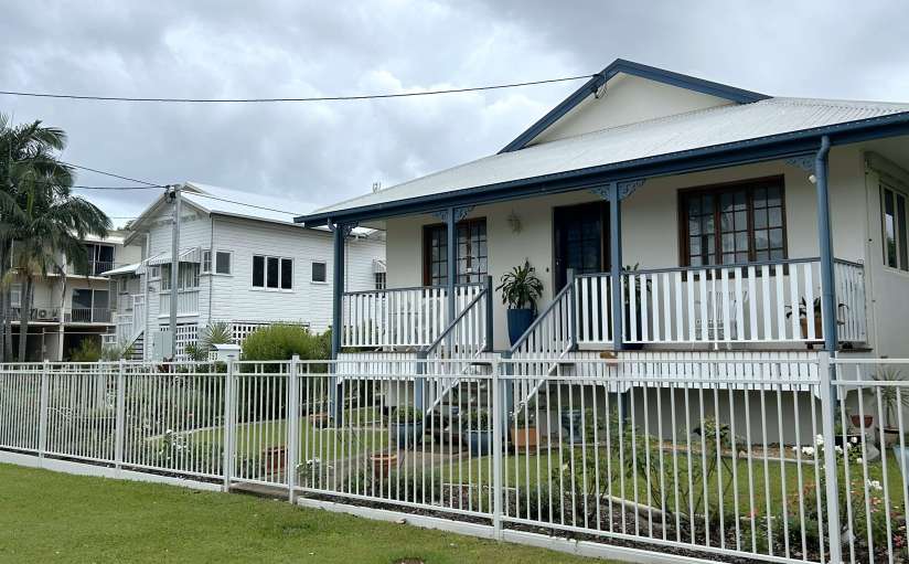
From The Strand, we wandered a few blocks inland through quiet residential streets, admiring the classic Queenslander-style homes with their raised structures and breezy verandas.
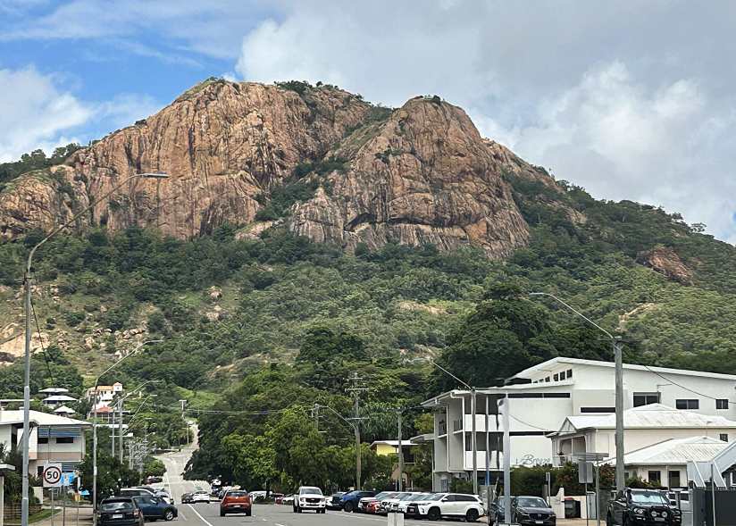
From just about anywhere in Townsville, the pink granite Castle Hill dominates the scene.
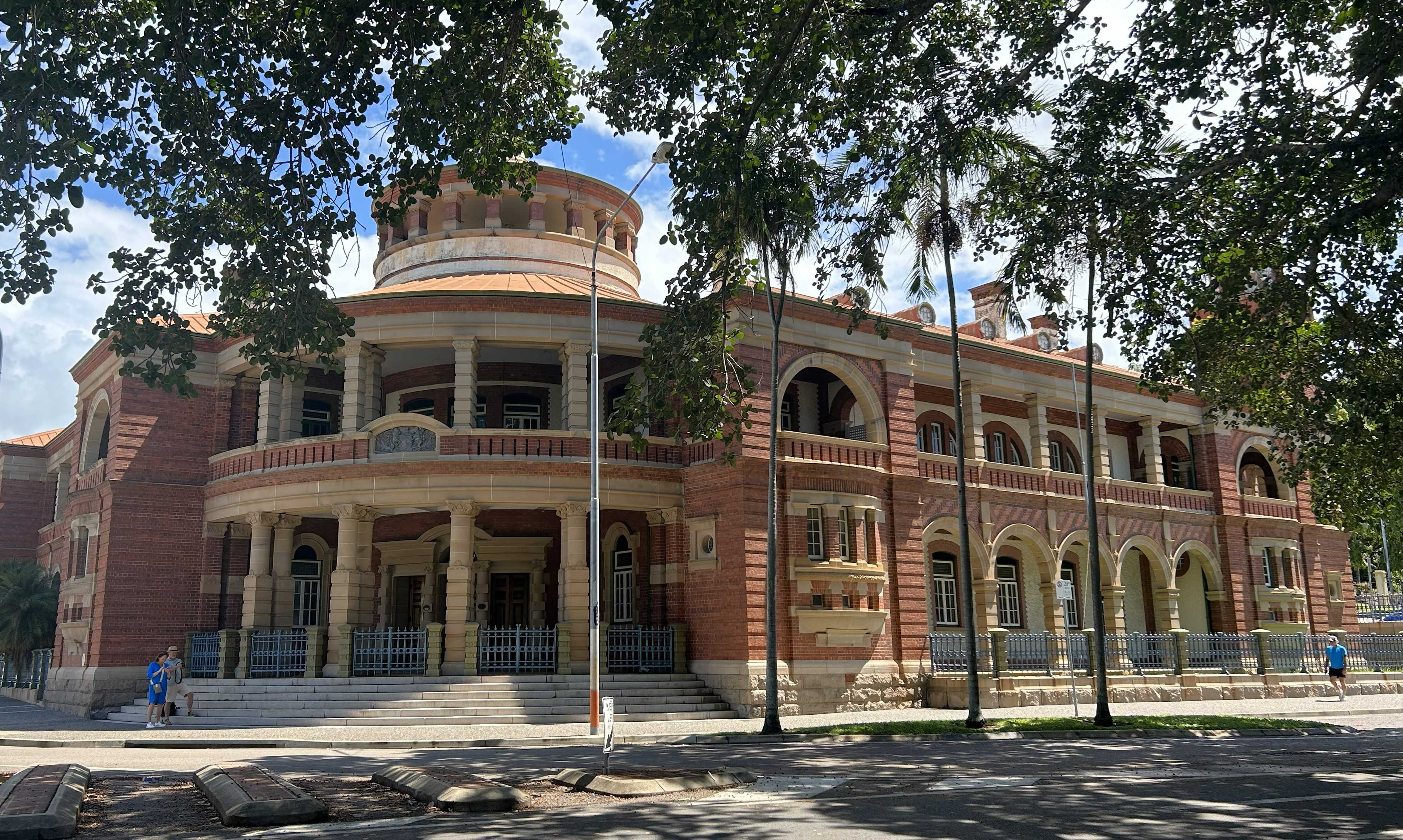
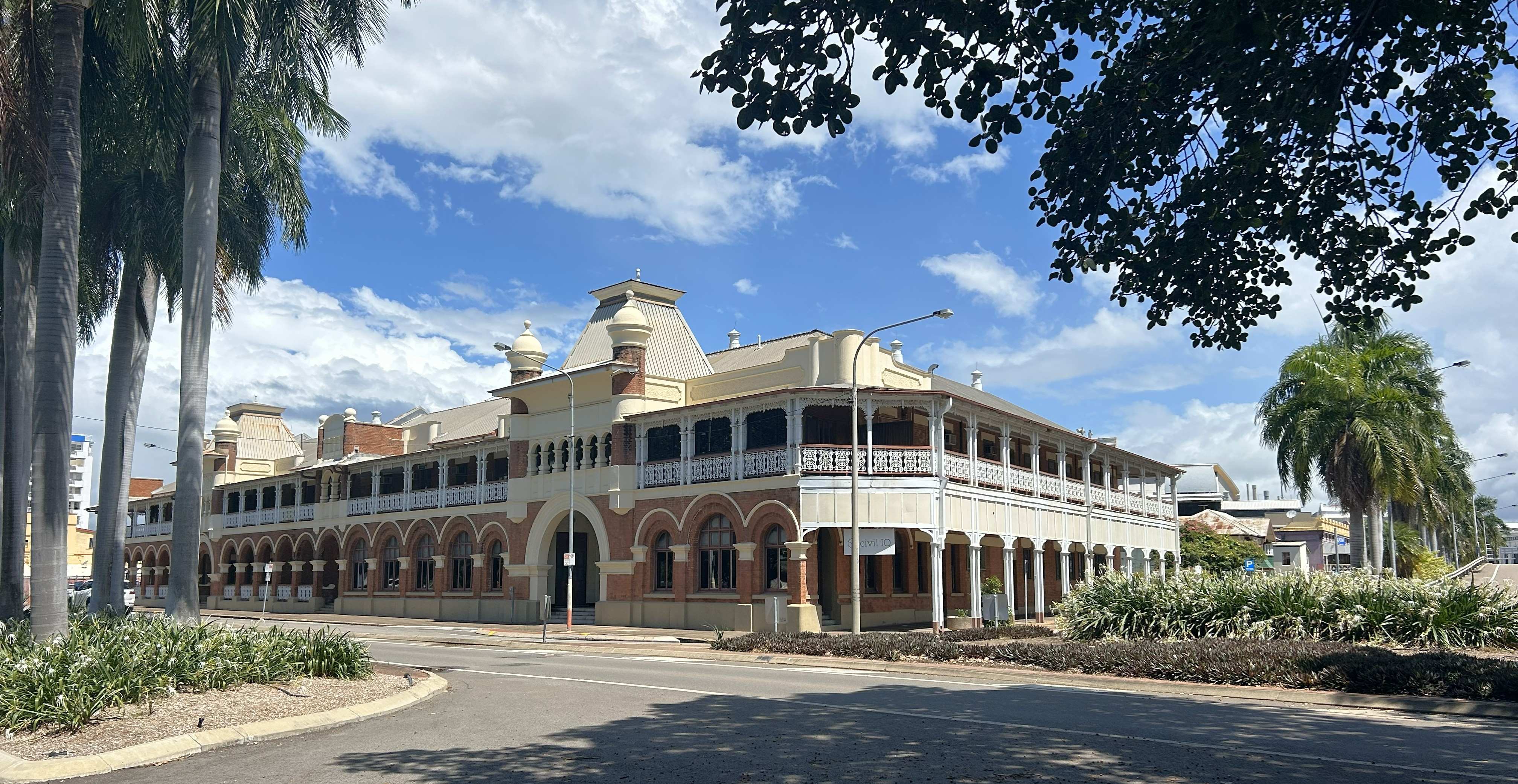
Lunch brought us into the central business district, where beautiful old architecture surrounded us.
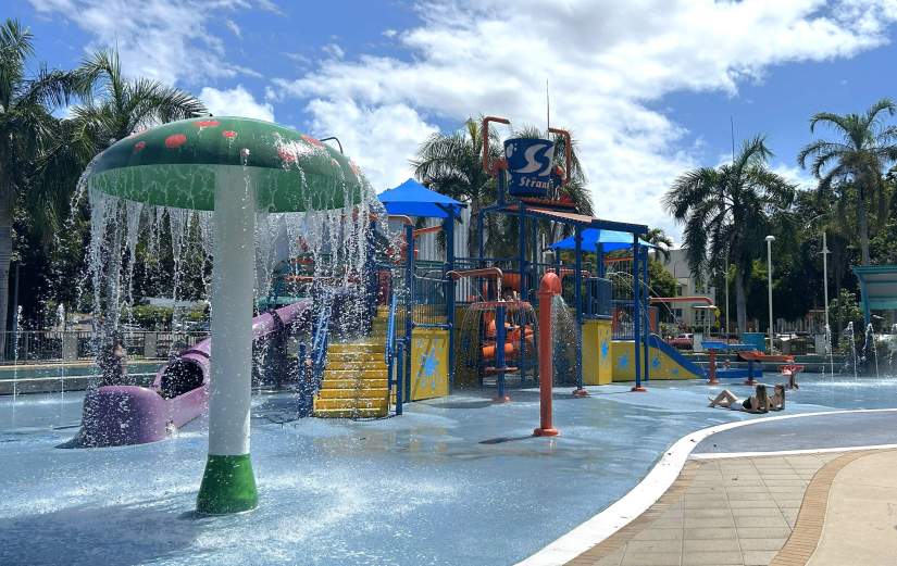
We made our way back to the ship through green parklands, busy marinas, and even a few lively public waterparks—a full and satisfying day in Townsville.
A 200-mile overnight passage further north, we reached Cairns in the Coral Sea.
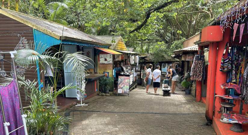
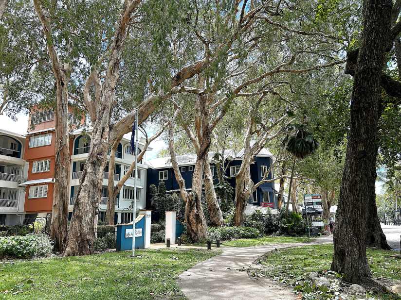
Having visited Cairns before, we thought we would discover the natural beauty of the Kuranda rainforest. Instead of the popular tourist route involving train rides and cable cars to reach its elevation, we rented a car and drove ourselves. The road wound steadily upward in a series of serpentine turns, eventually delivering us to the charming village of Kuranda.
Set among the trees, the Kuranda markets felt more like a forest hideaway than a shopping area, with artisan stalls, small boutiques, and cafés tucked beneath the canopy.
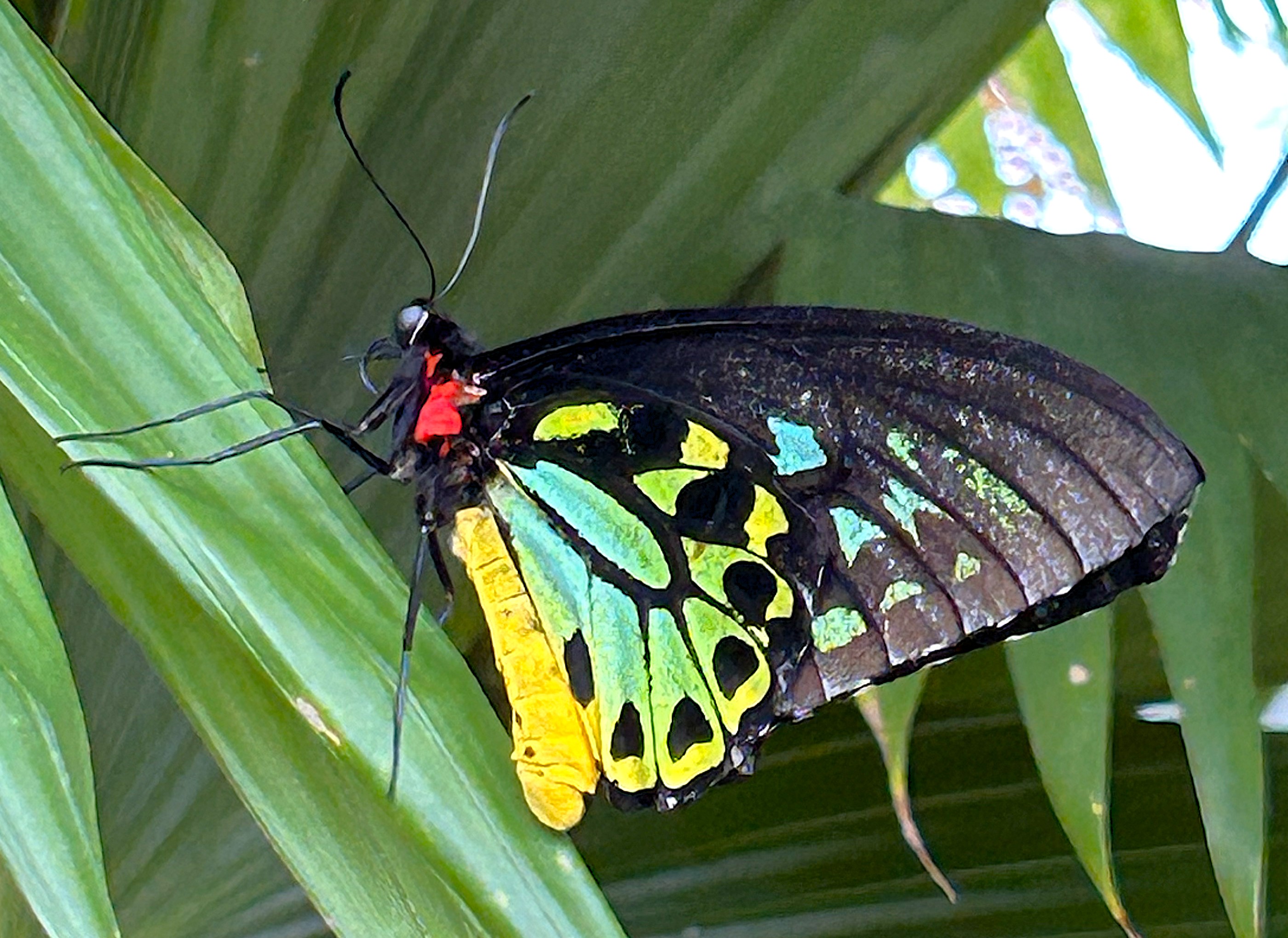
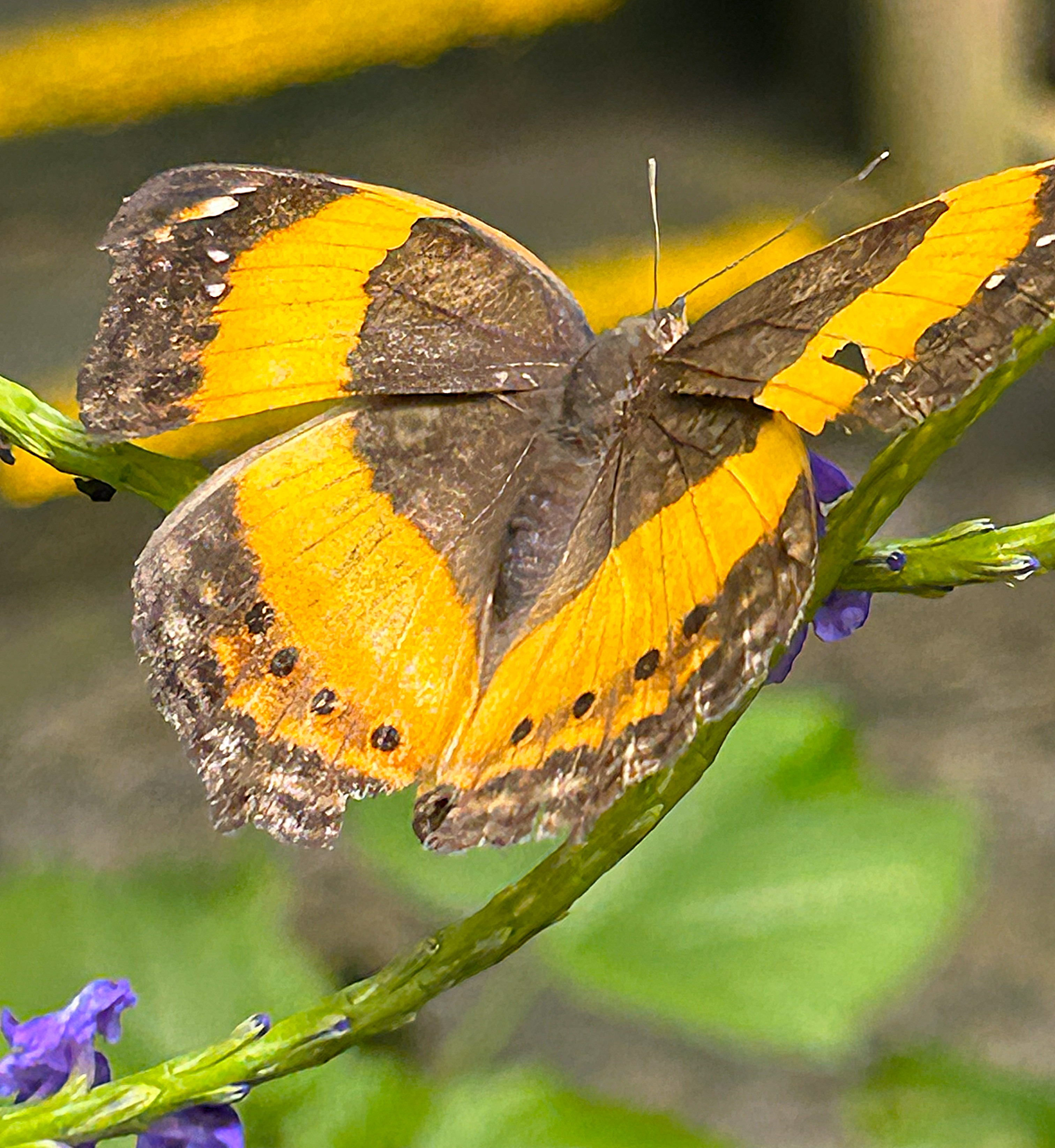
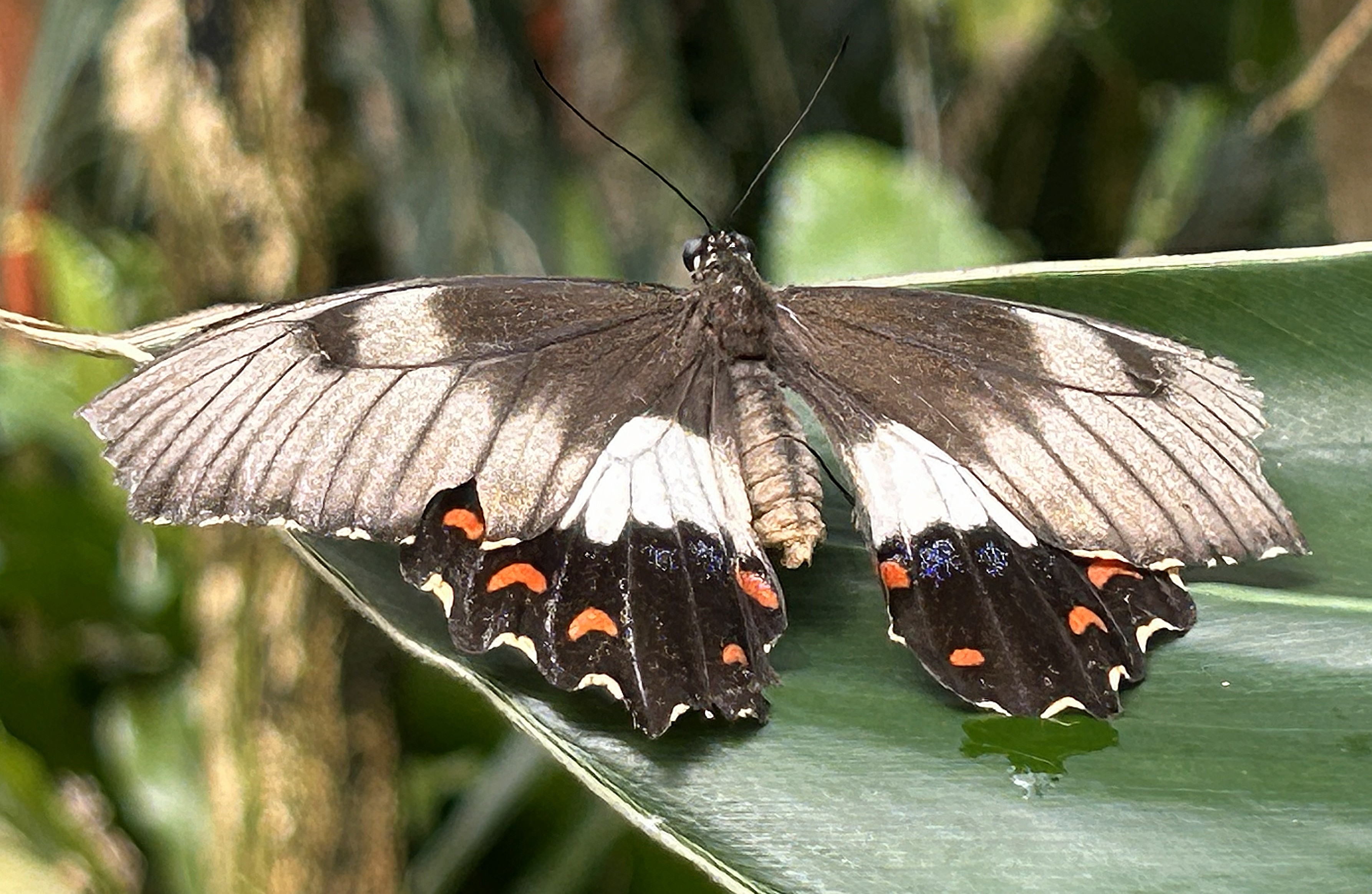
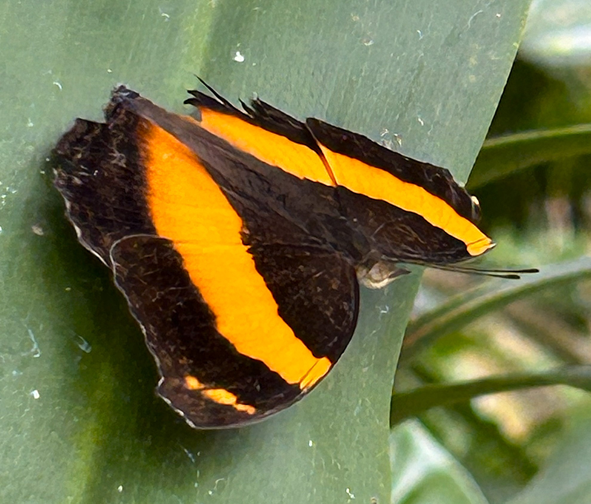
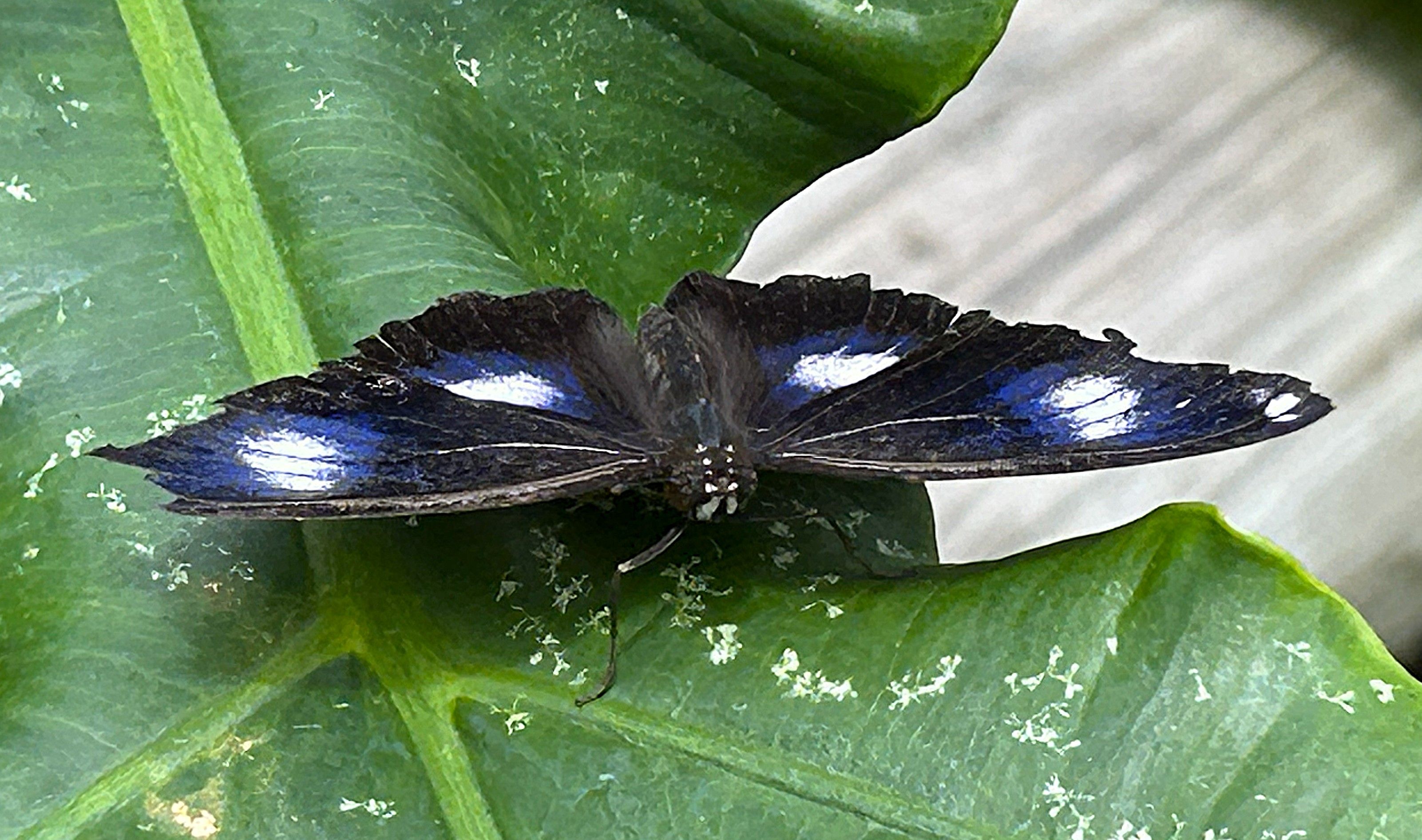
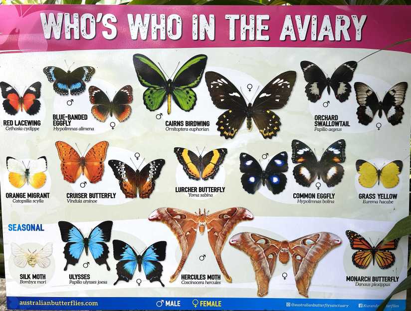
One highlight was the Australian Butterfly Sanctuary, where we wandered among an impressive collection of butterflies.
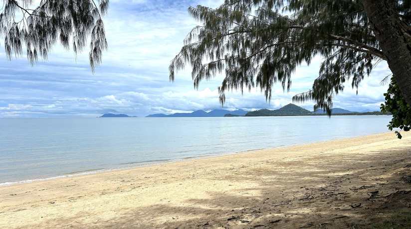
From there, we continued north to the upscale seaside village of Palm Cove. Towering melaleuca trees shaded the esplanade, and a light breeze off the water helped take the edge off the tropical heat. Lunch was a delicious nasi goreng, enjoyed at a relaxed pace in this laid-back setting.
Darwin – With a population of about 122,000, Darwin is known as the lightning capital of the world, famously recording over 91,000 strikes in a 24-hour period during a Christmas storm in 2018. Sitting just 10 degrees south of the equator, it’s no surprise the weather is hot and humid.
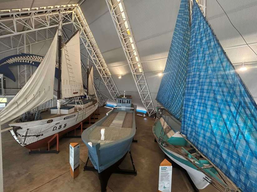
To make the most of our day, we hopped on a Hop On/Hop Off bus and made several stops, including over an hour at the Museum and Art Gallery of the Northern Territory. The exhibits were varied and fascinating, covering everything from Aboriginal history to science displays and maritime artifacts.
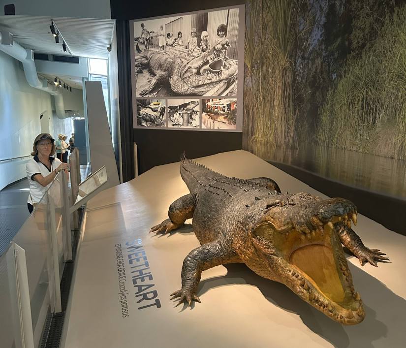
A particularly memorable section detailed the devastation of Cyclone Tracy in 1974. And there was also a special display honoring “Sweetheart”, a 1700-pound, almost 17-foot saltwater croc that had been attacking aluminum dinghies back in the 1970’s. They estimated that he was between 50-80 years of age.
The waterfront area is lively, filled with restaurants and anchored by a large man-made lagoon—safe from stingers, crocodiles, and sharks (a reassuring feature in this part of the world!).
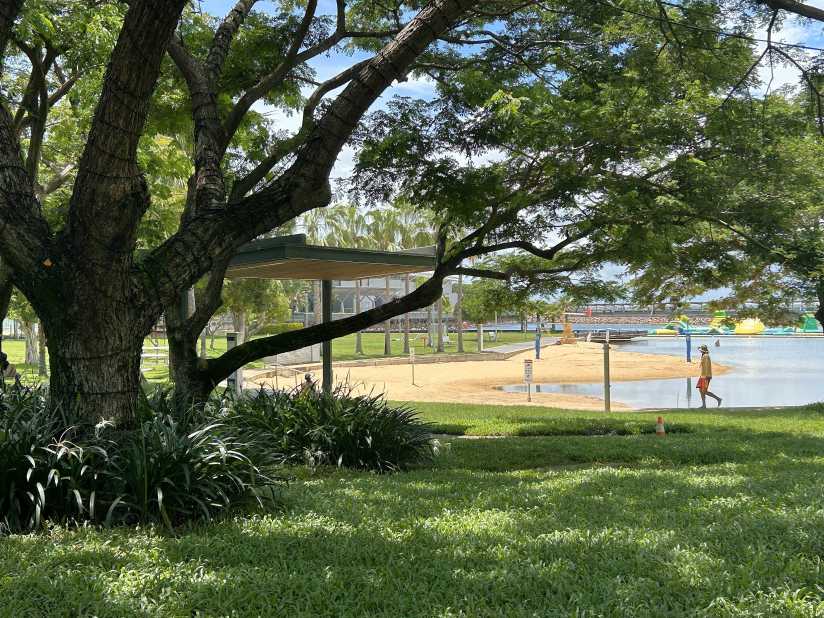
Darwin also offers expansive green spaces, parks, and esplanades. In a few areas, we even spotted wallabies lounging in the shade, seemingly unfazed by passing visitors.
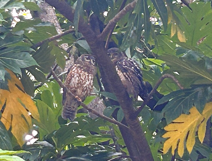
We even spotted a pair of owls as we strolled back to the ship. Darwin was an enjoyable visit!
Looking Ahead: Volendam now sets her course for colorful Indonesia, and we’re looking forward to the next chapter of this journey. Stay tuned!