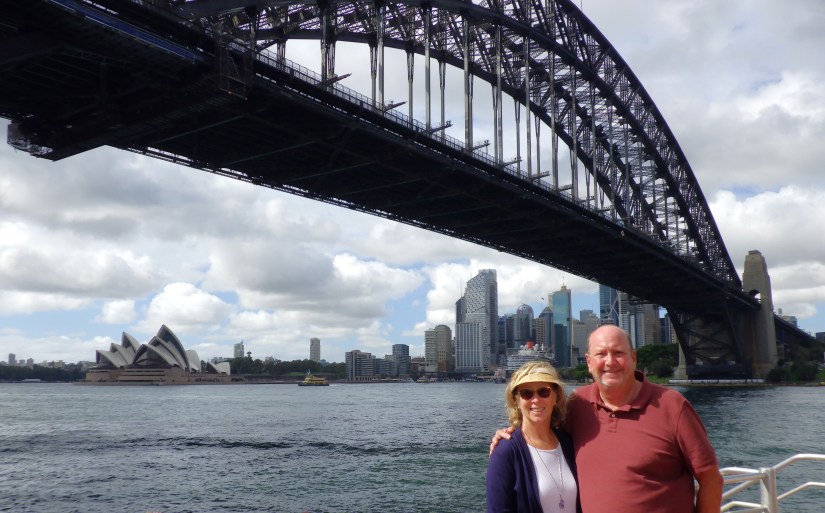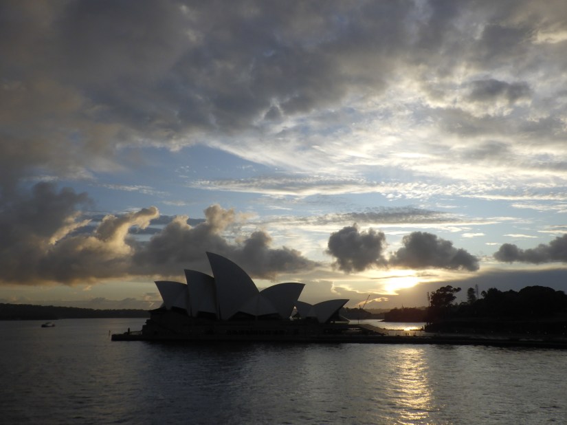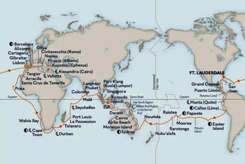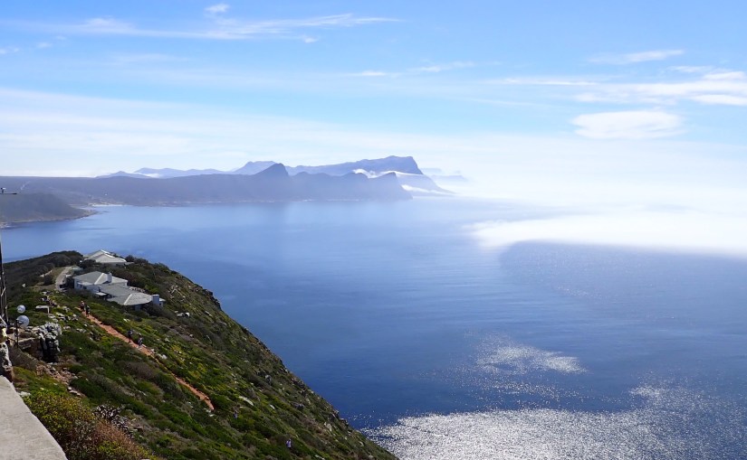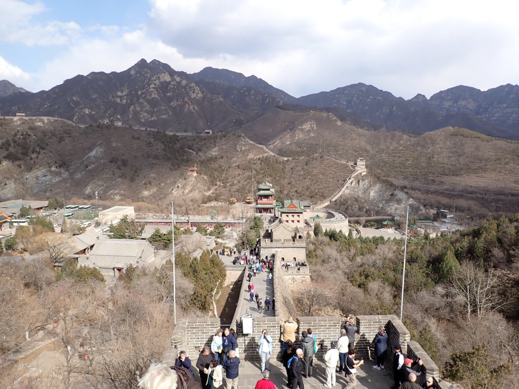

We left Australia’s modern civilization to find ourselves stepping back in time into the secluded and untamed Komodo Island. The raw beauty of its landscapes has largely remained untouched, except by the island’s ancient guardians, the Komodo dragons.

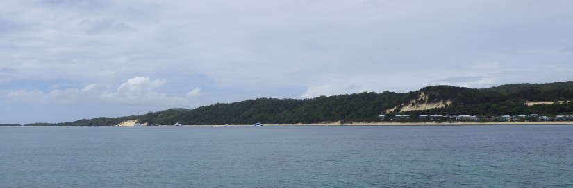
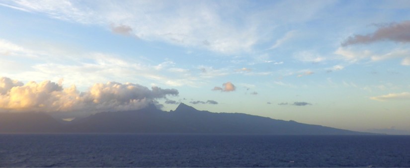
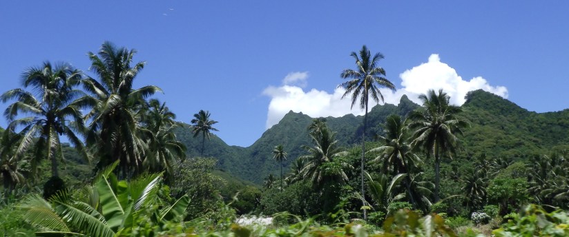
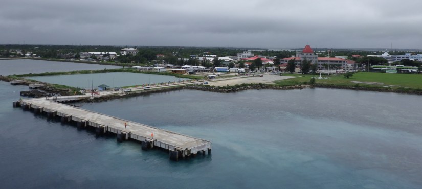
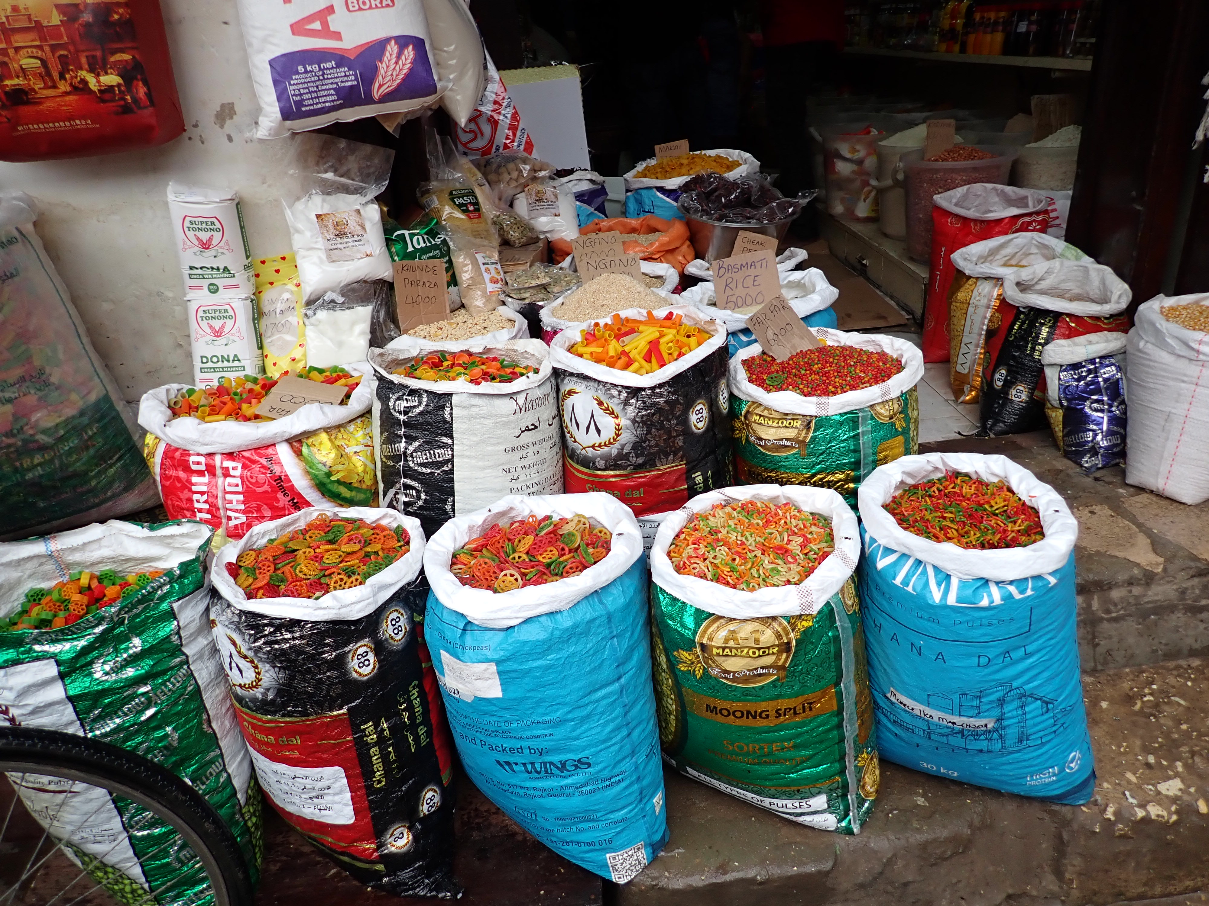
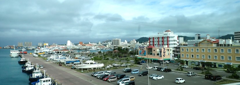
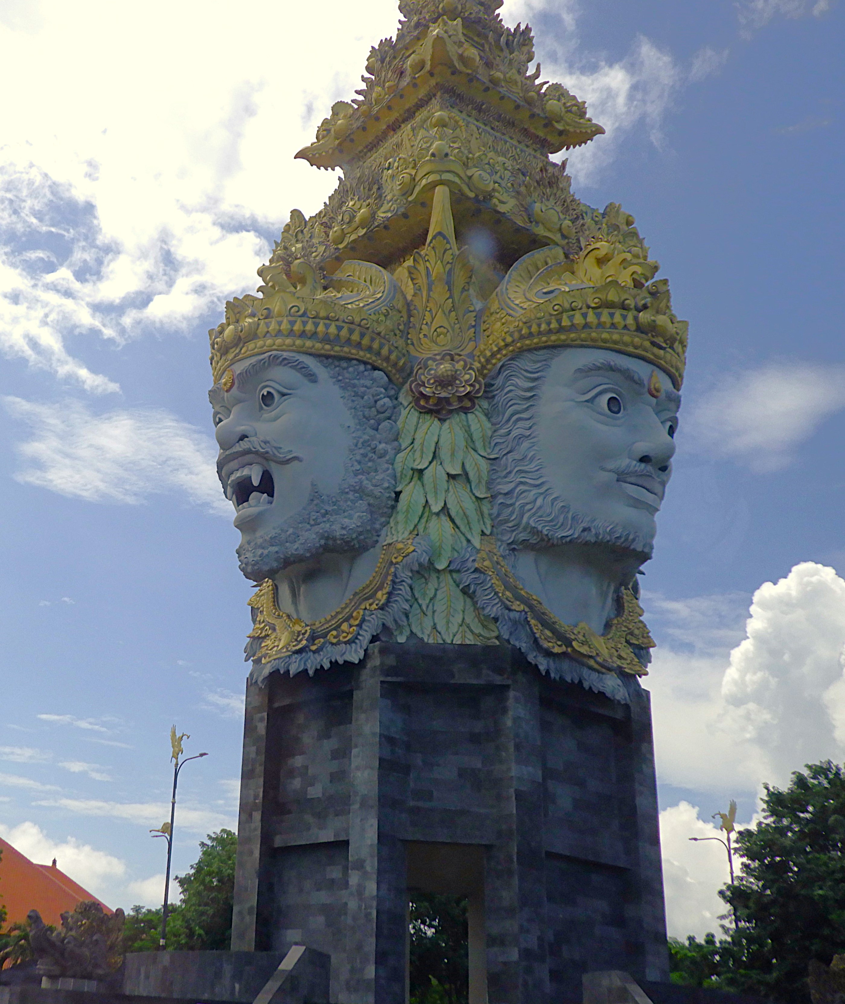
Komodo Island, 112 square miles, is just one of the 17,508 islands that comprise the Republic of Indonesia. As we enter the tranquil harbor, the panoramic view is breathtaking with its jagged emerald peaks illuminated by the morning sun.

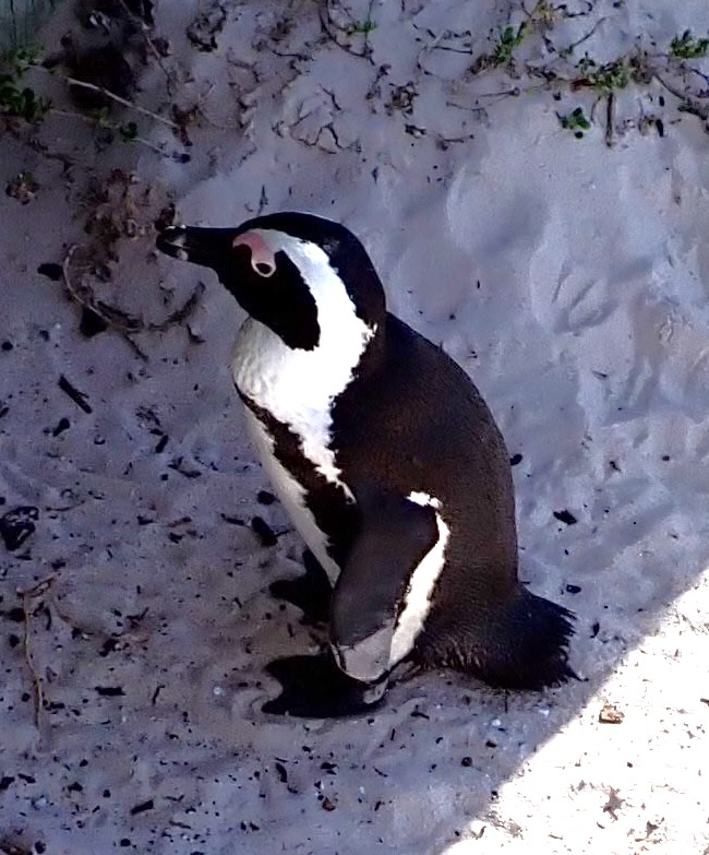
The only community on the island builds their primitive homes elevated on stilts to keep inhabitants safe from the wandering dragons. With 1,700 Komodo dragons, they nearly outnumber the villagers.
The largest lizard on Earth, males can grow to 10 feet and weigh over 300 pounds. Their vicious nature doesn’t discern; they will eat nearly anything including their young or each other, or villagers. But their primary diet are wild pigs and Timor deer which are plentiful on the island.
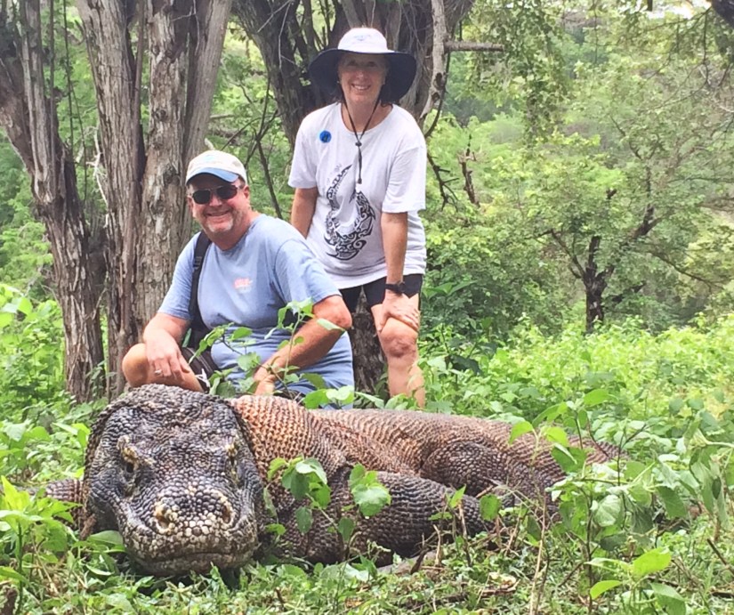
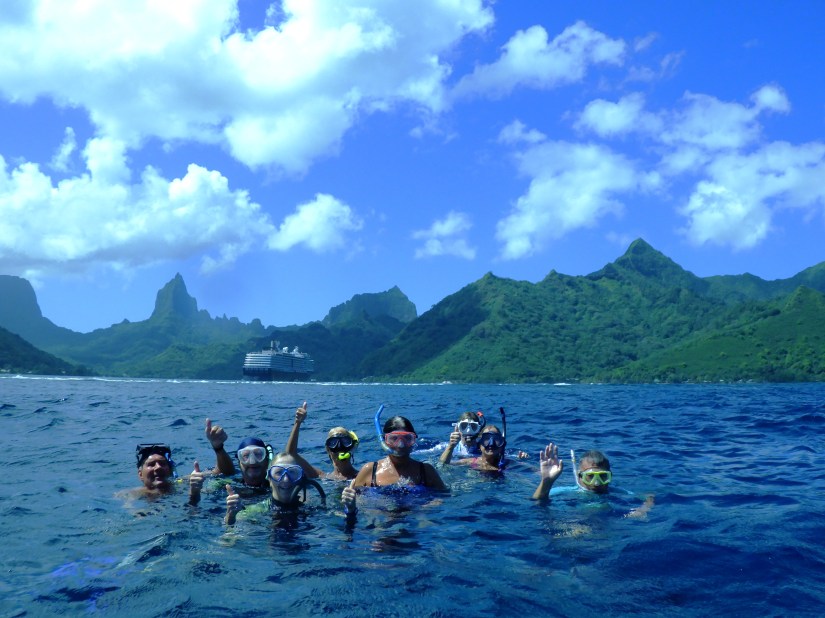
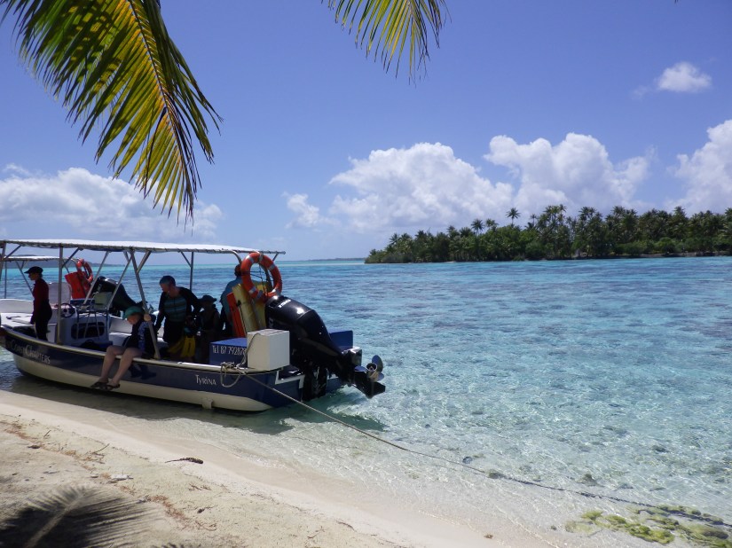
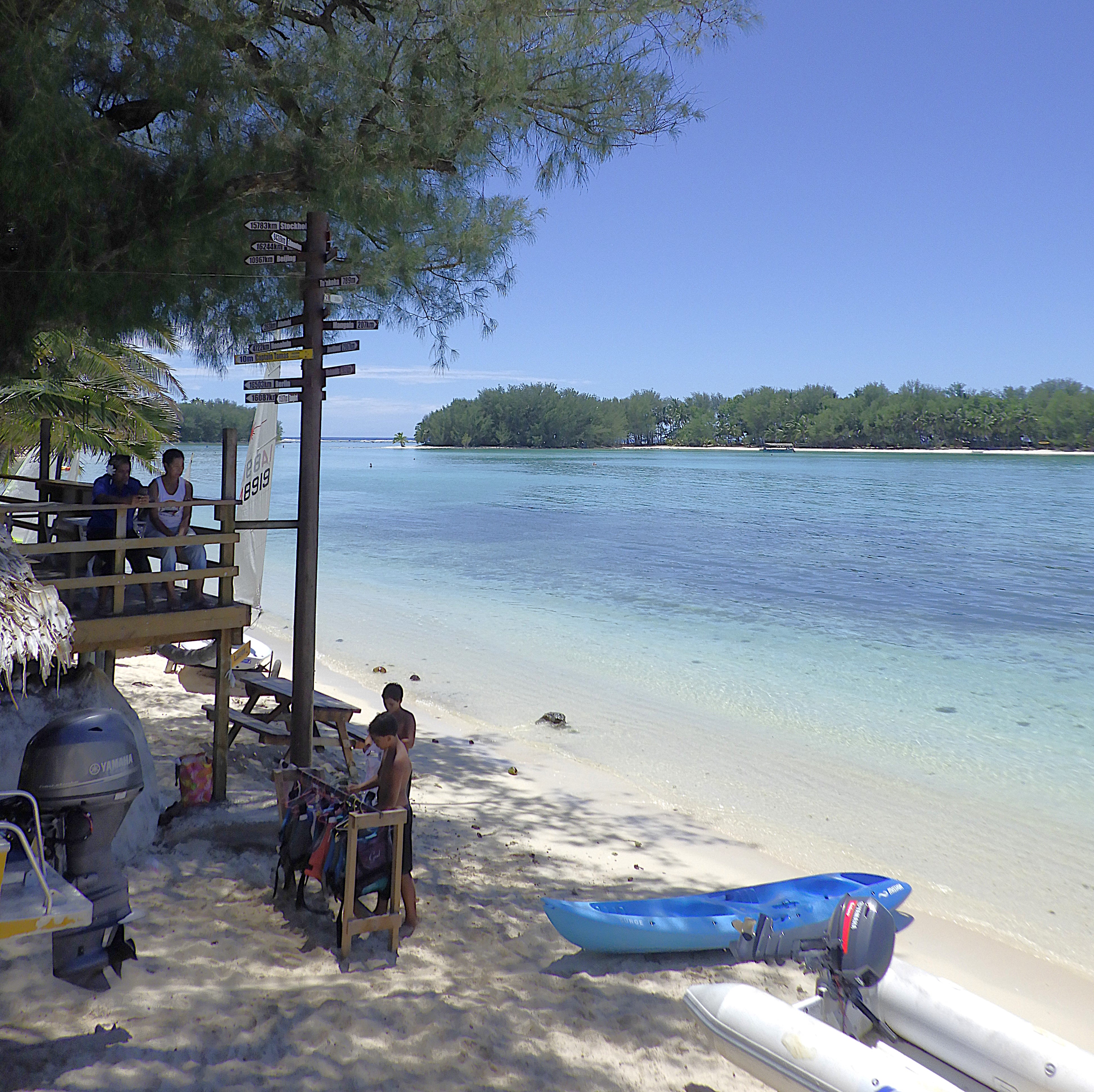
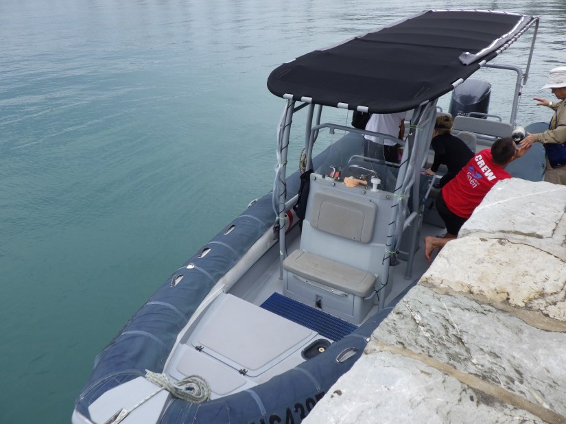
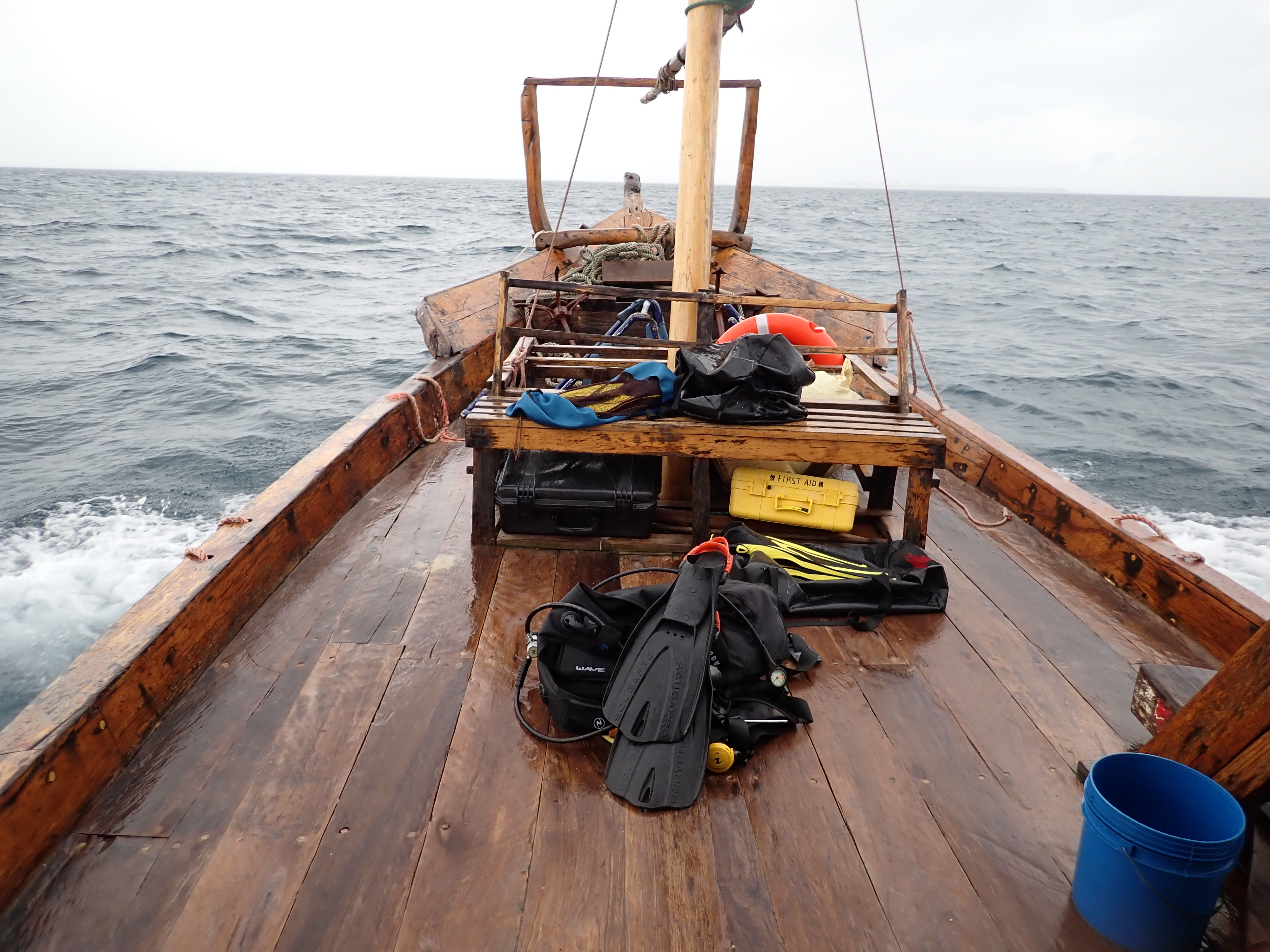
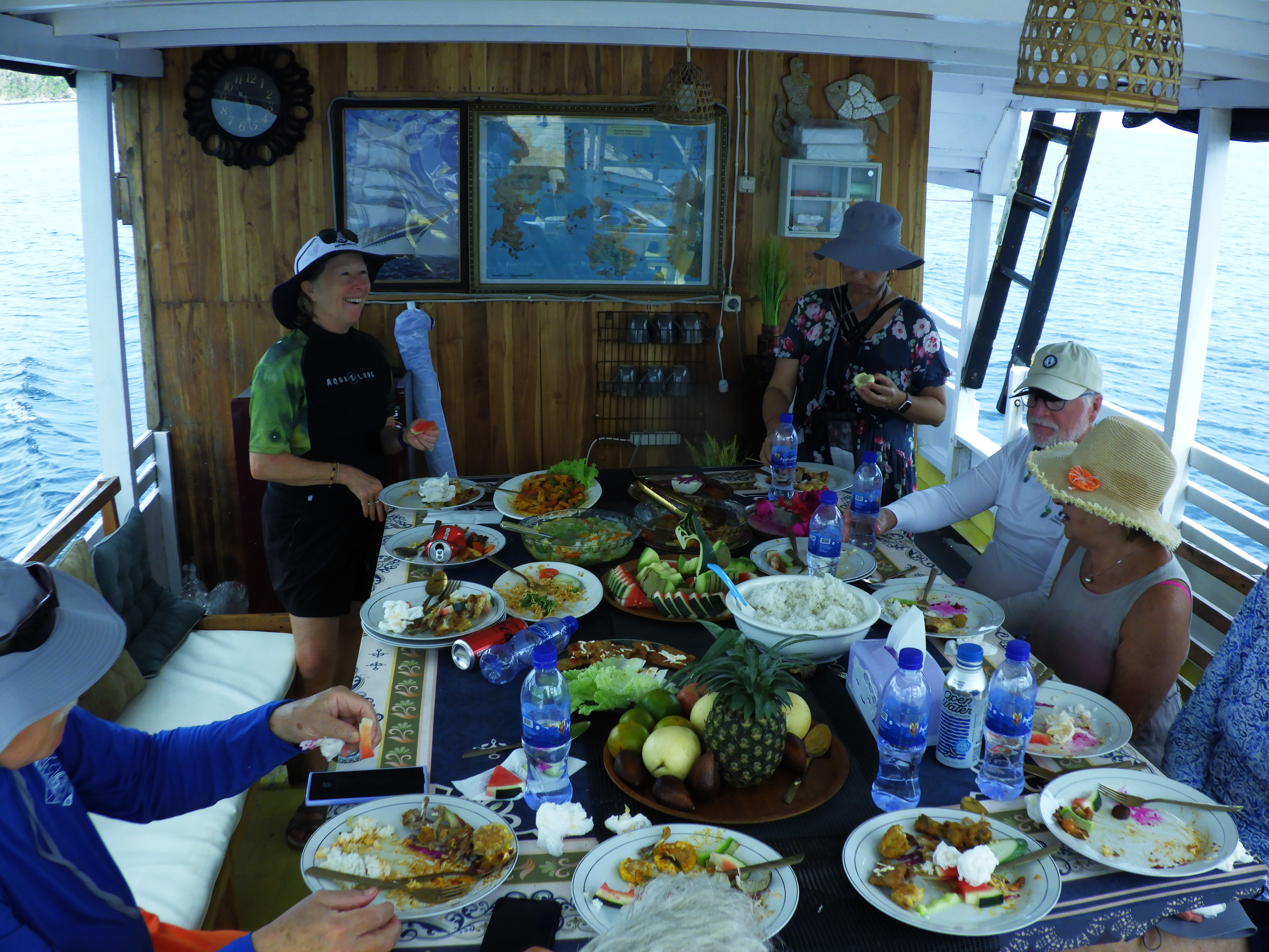
We had an upclose and personal experience (!) with these free roaming creatures during our visit here in 2019 (above). So instead, we joined a passenger-organized tour of 13 of us that would head to adjacent Pink Beach. Our transport is an Indonesia style boat made of heavy local timbers, typically ironwood or bangkirai.

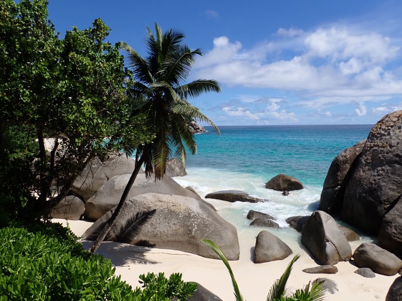
Wikipedia claims that Komodo’s Pink Beach is one of only seven in the world. The sand appears pink because it is a mixture of white sand and red sand, formed from pieces of Foraminifera.

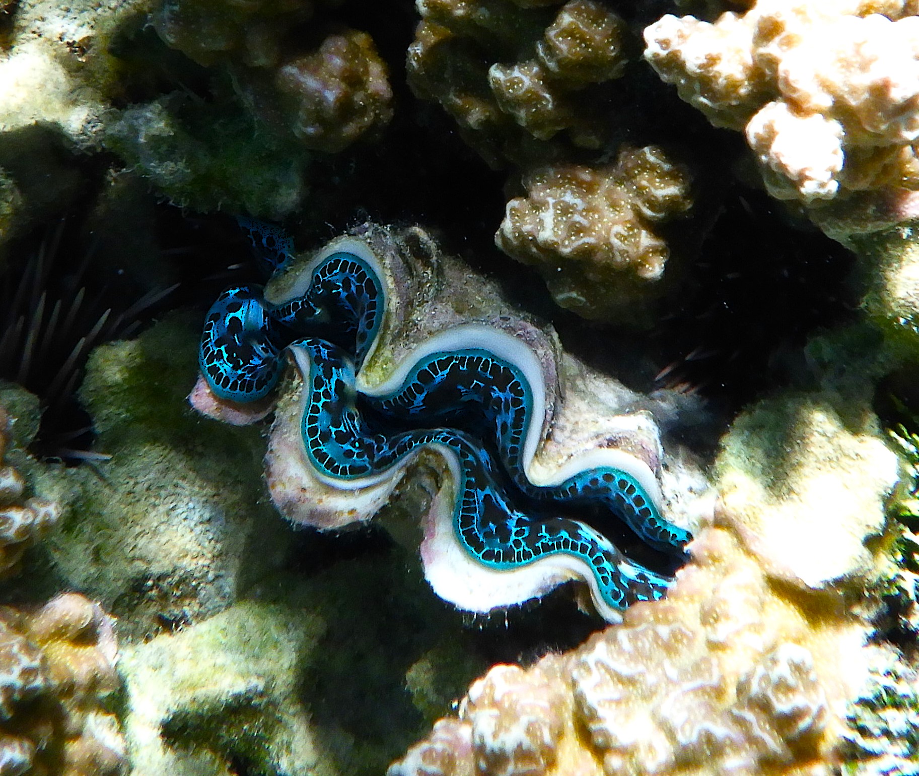
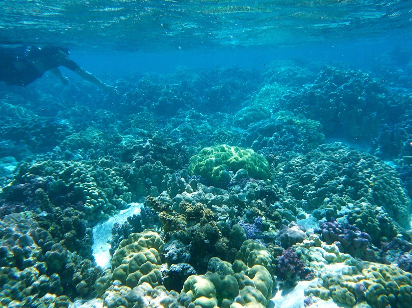
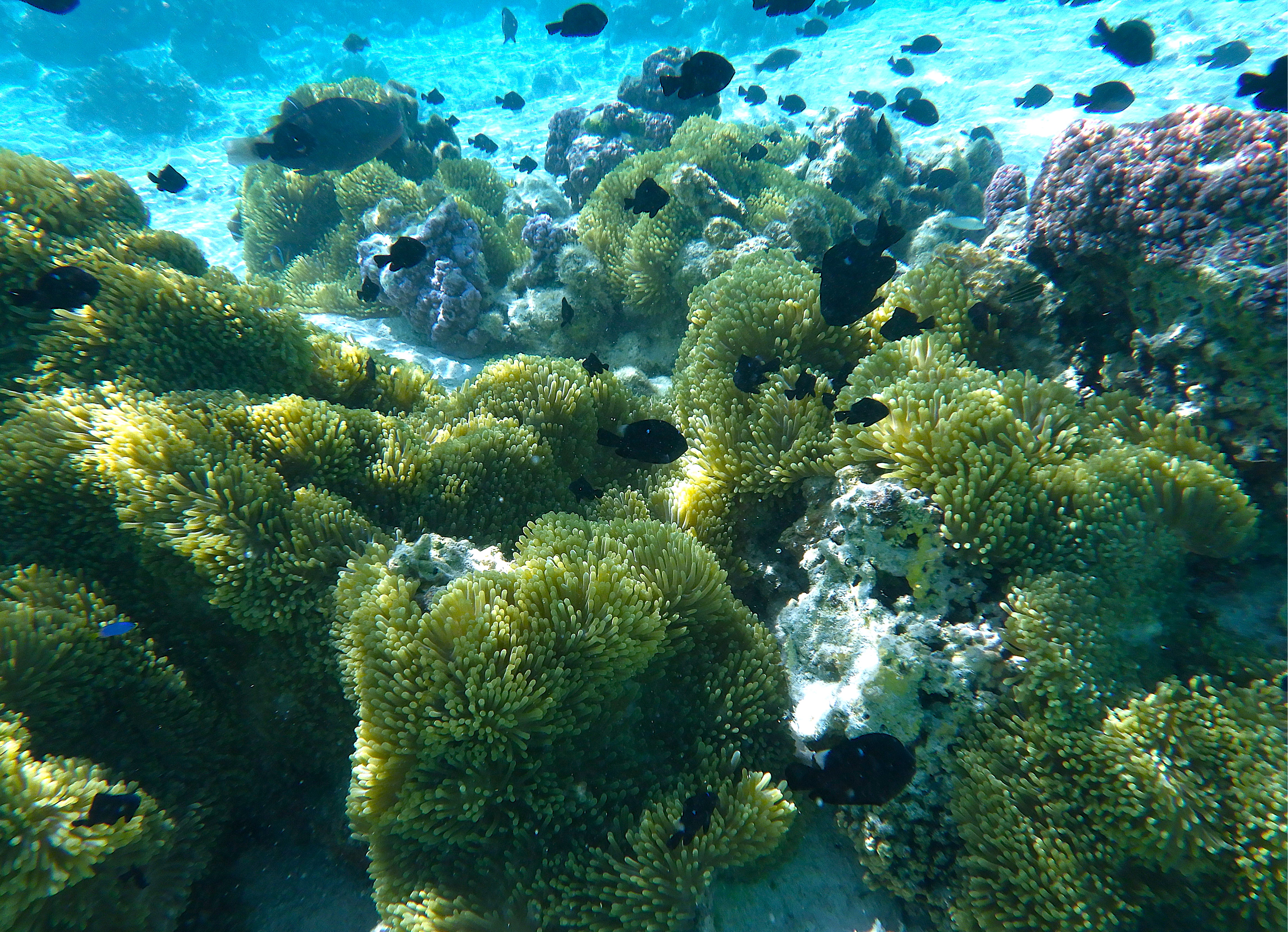
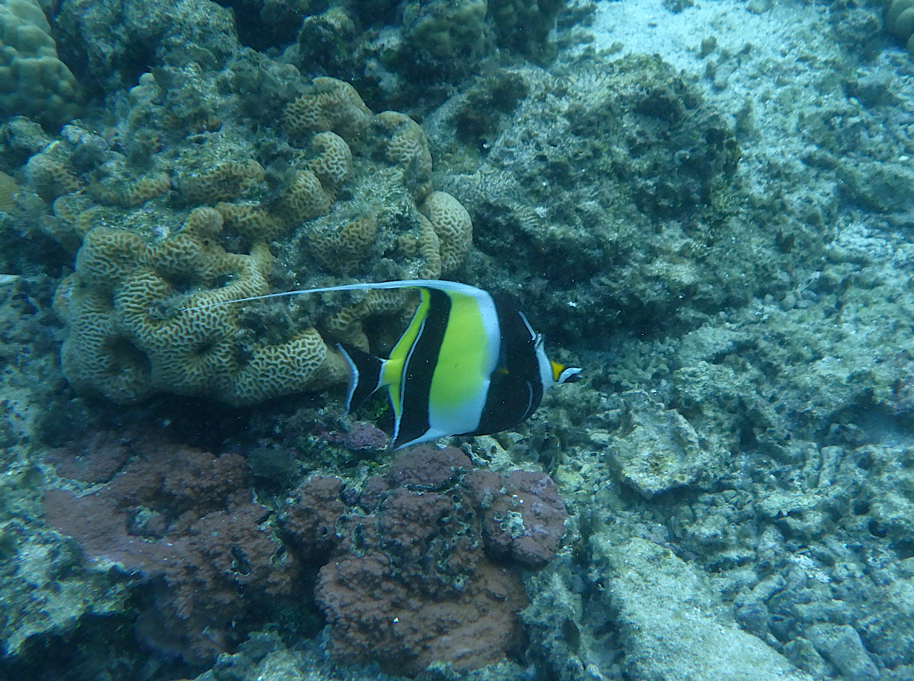
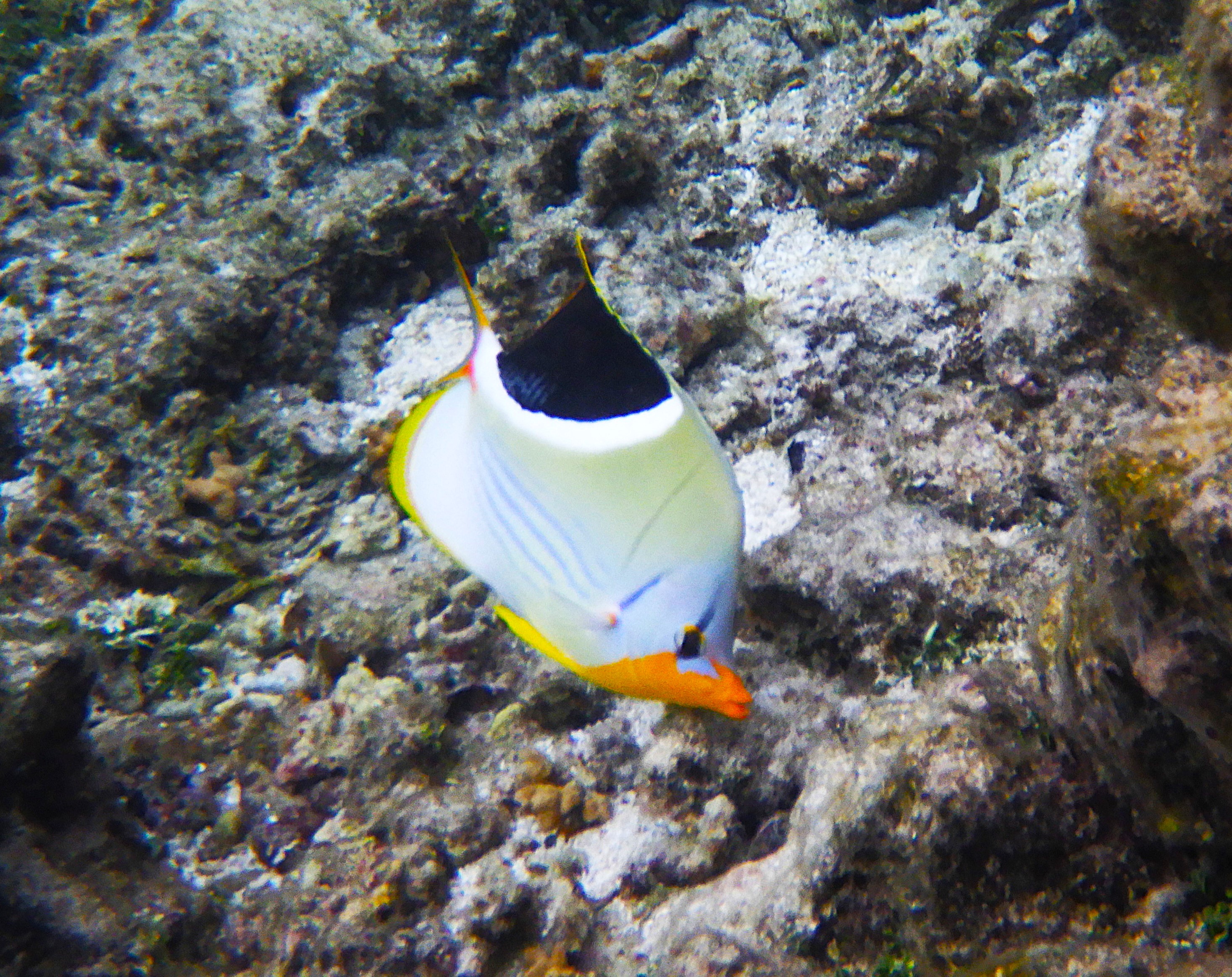
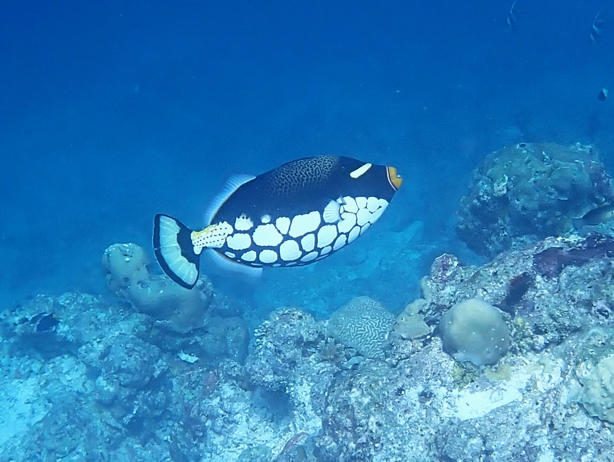
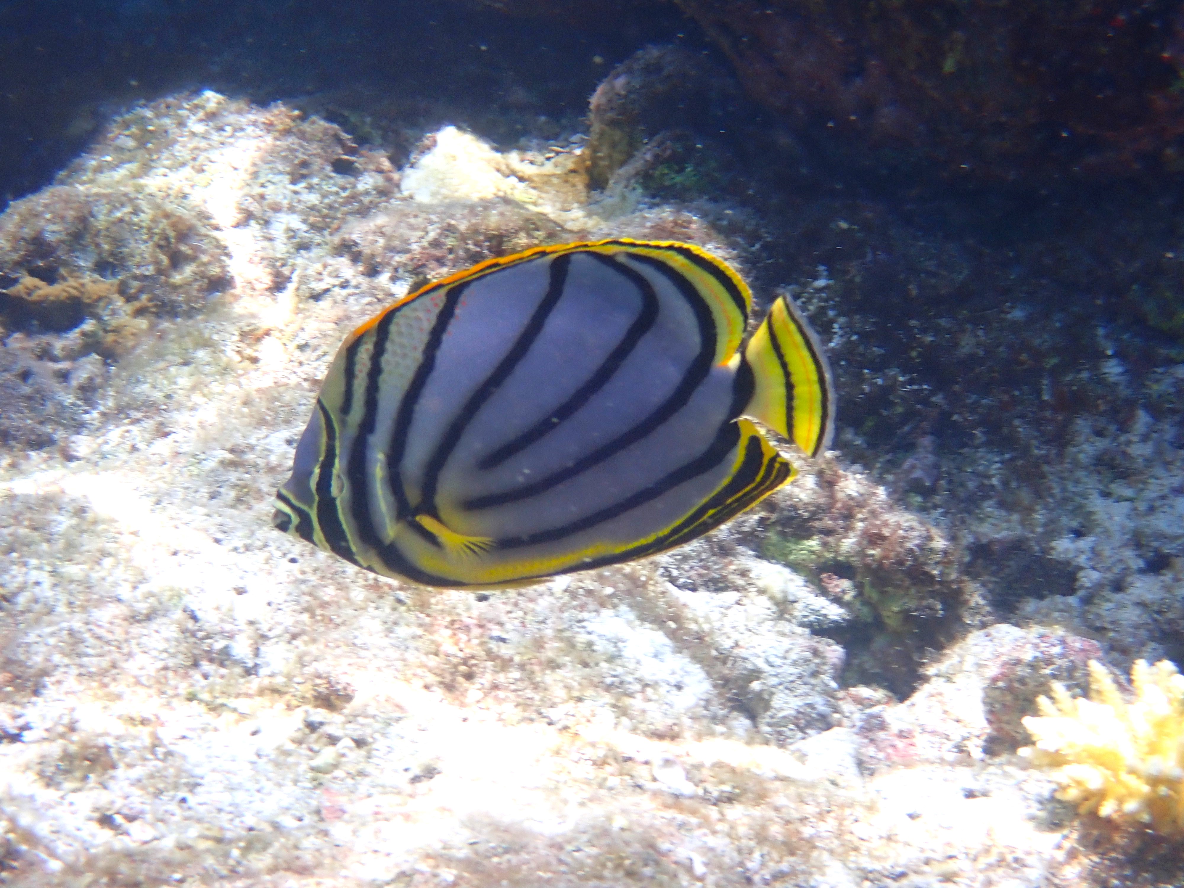
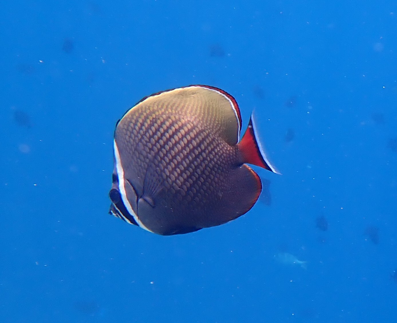
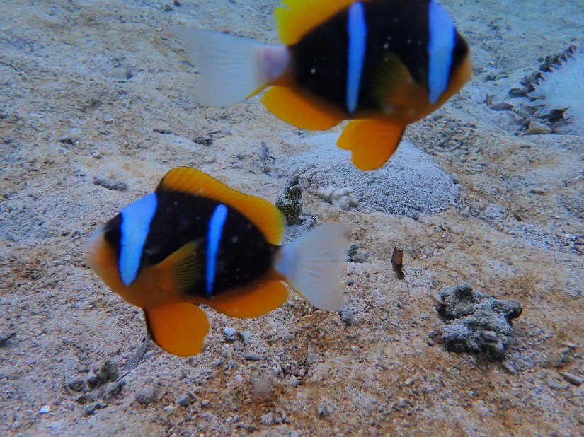
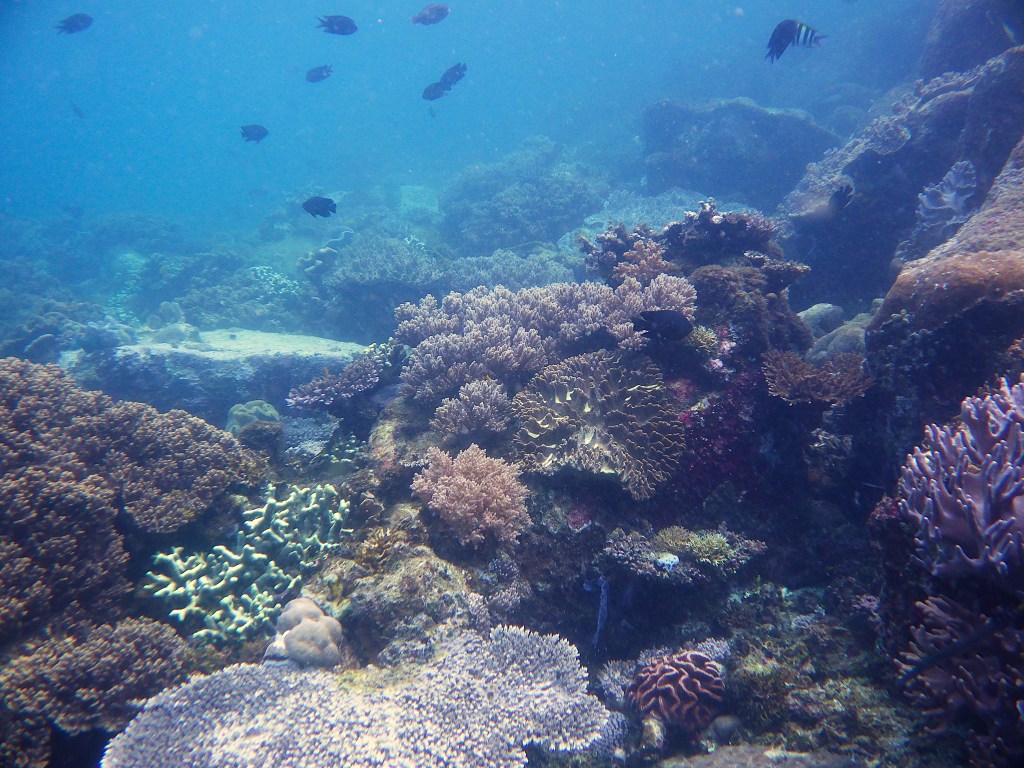
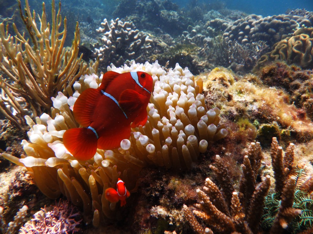
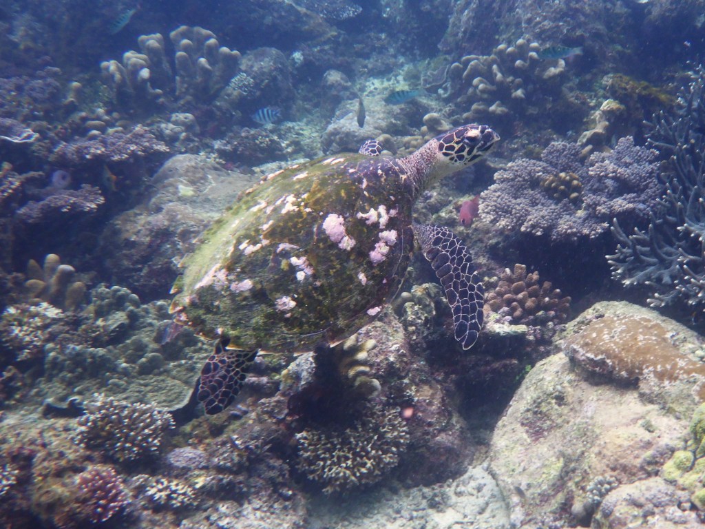
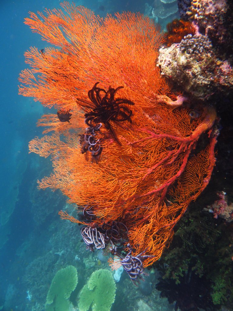
As we wade into the water from the beach, we snorkel over healthy reefs, teeming with fish. We found clown fish playing in anemones, colorful sea squirts, flamboyant crinoids, sea clams with their psychedelic mantles, and an occasional turtle.

We emerged from the water after a few hours fully pruned. A local vendor, Dodie, had a few items for sale on the beach. The simple bracelet I bought from him will always remind me of his warm smile and gentle demeanor.

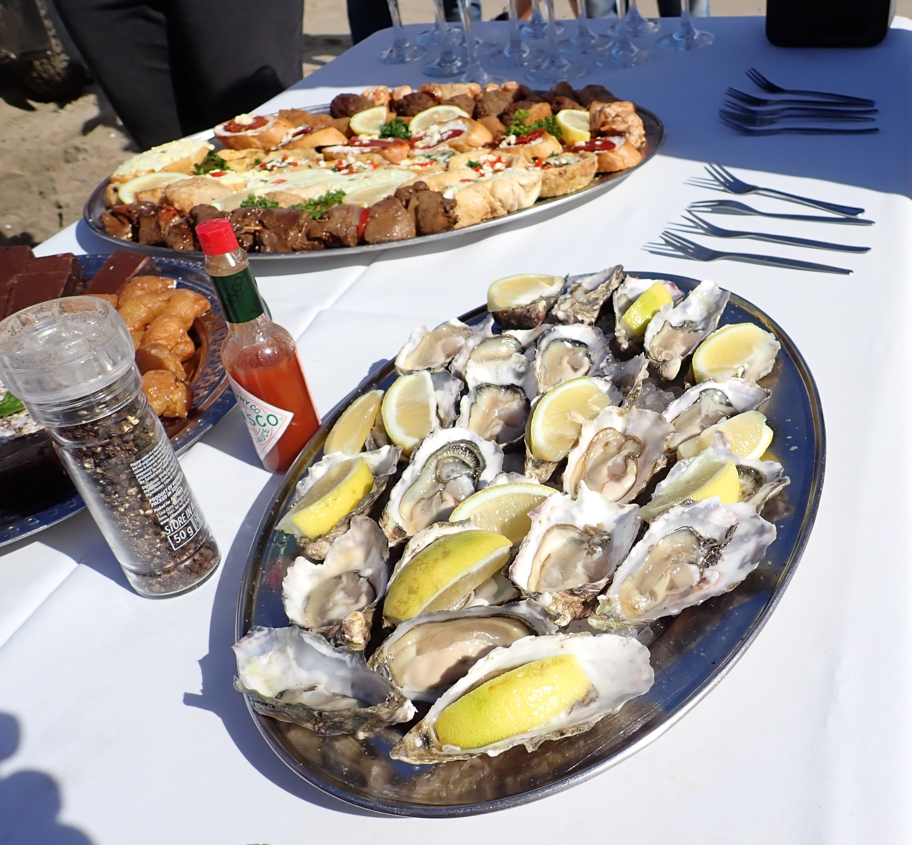
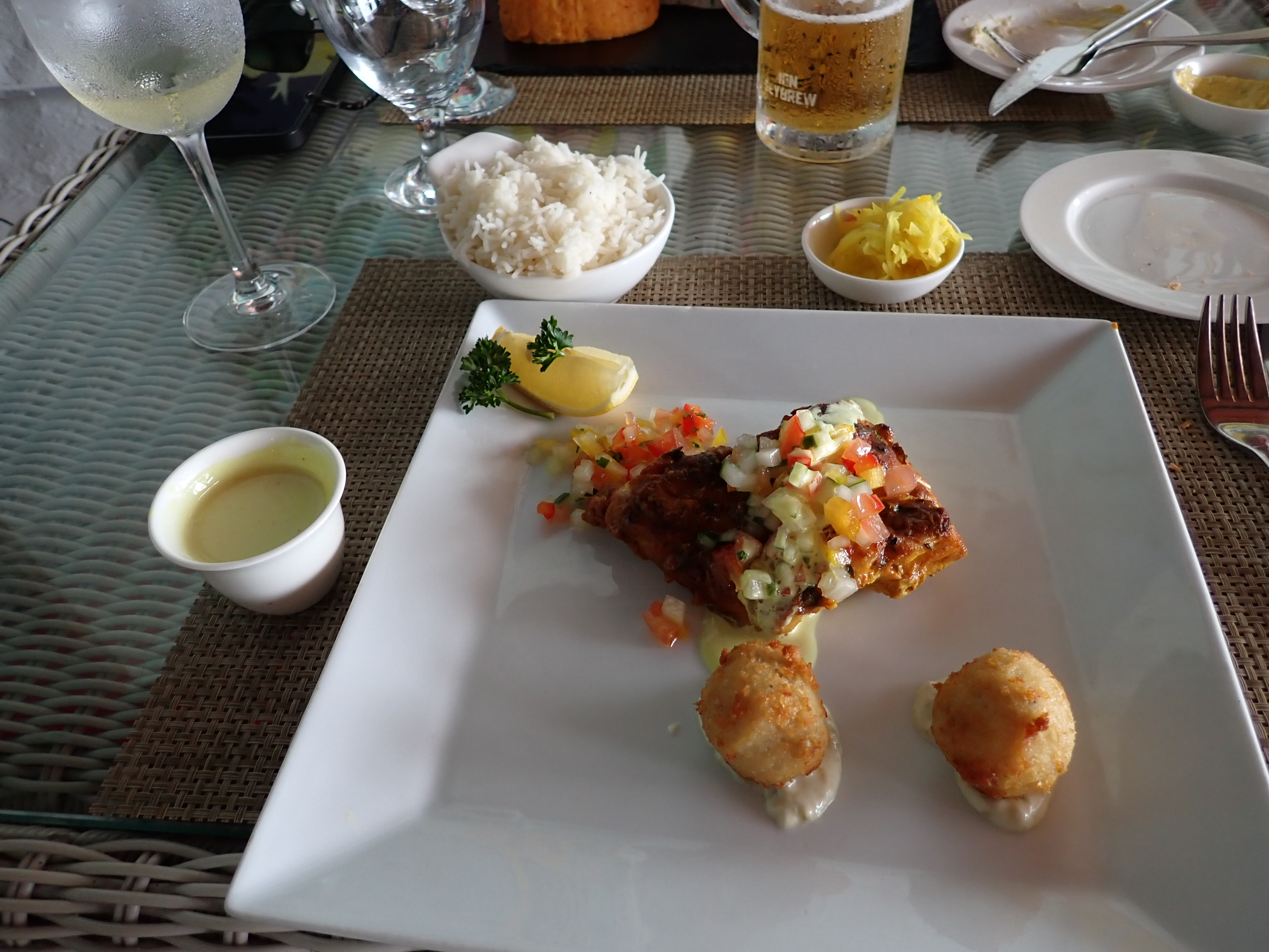
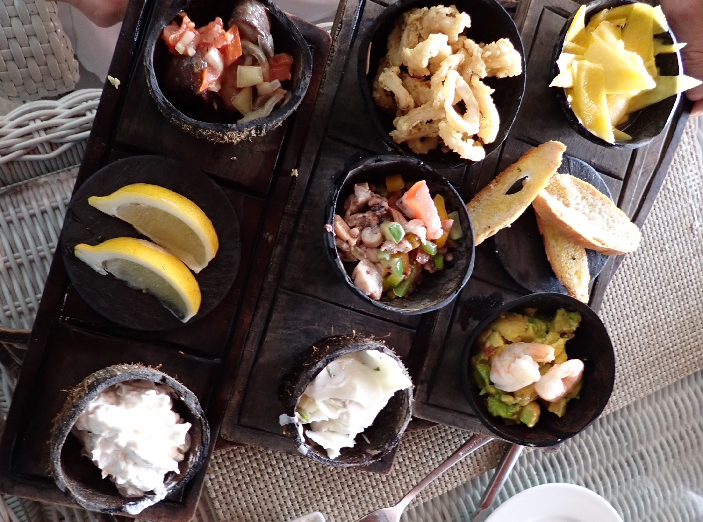
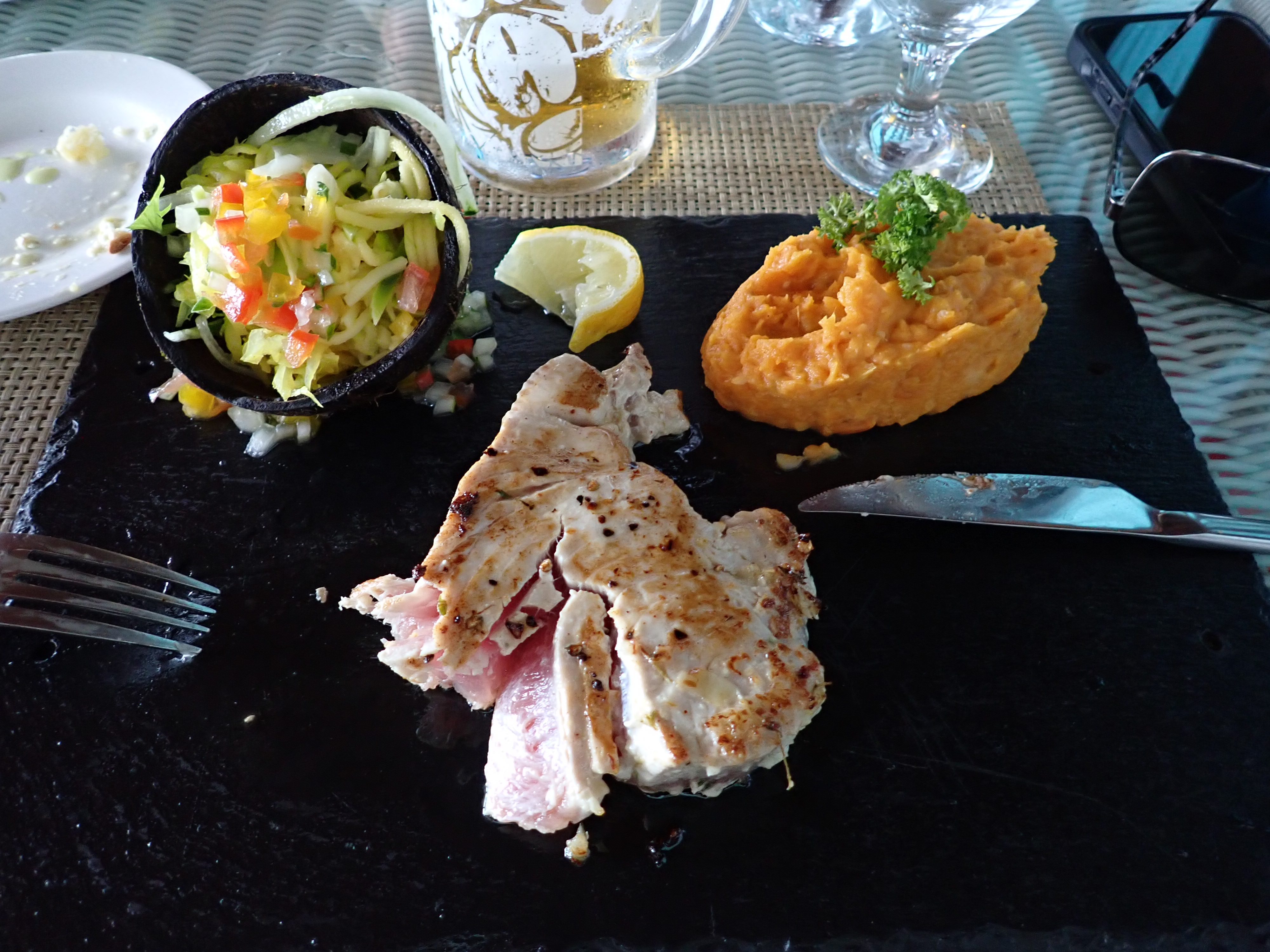
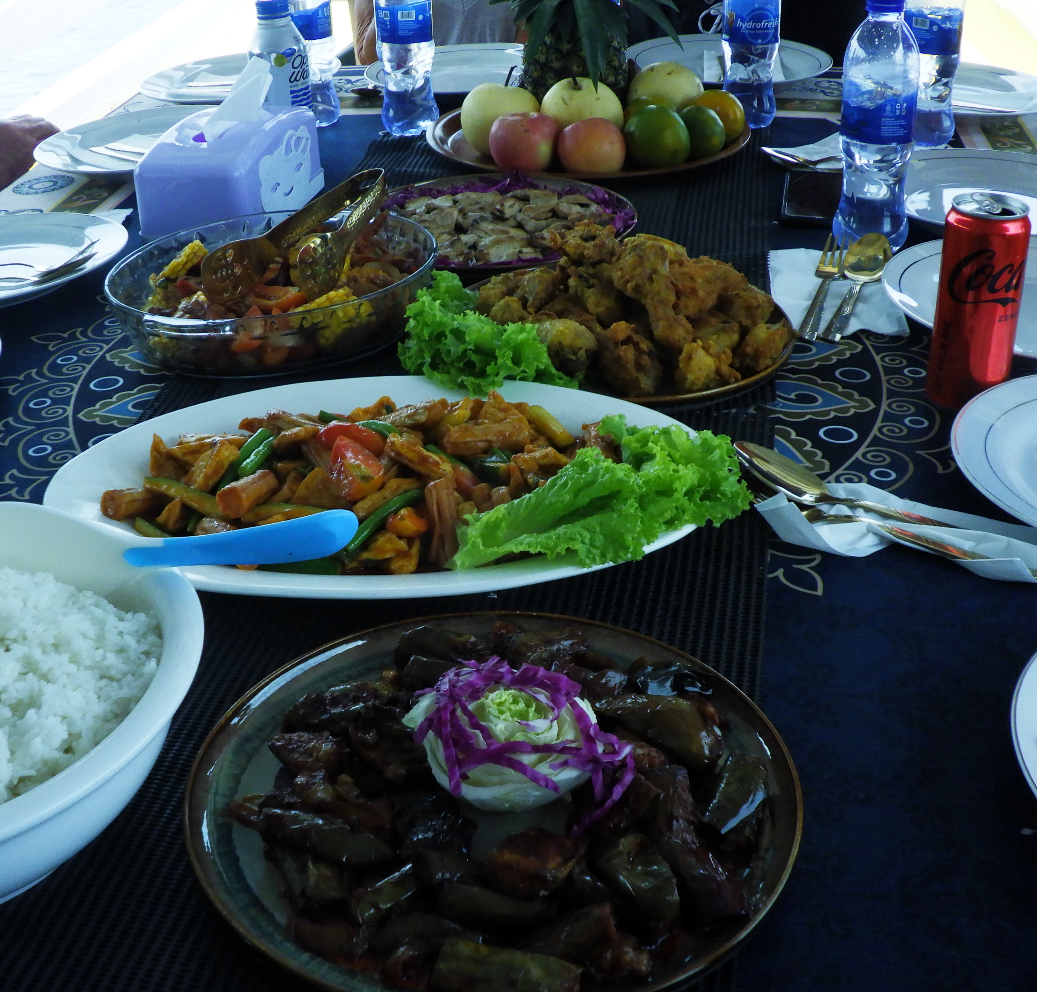
While we were snorkeling, our Indonesian boat crew prepared lunch. We knew we’d be having lunch aboard, but what we didn’t realize was the incredible feast it would be: platters of grilled shrimp, tuna, fried chicken, vegetables, noodles, rice, dragon fruit, watermelon, honeydew, sausage and tofu. And if that weren’t enough, they gave us parting gifts of t-shirts and postcards.
We bid farewell to the Komodo Dragons and set an overnight course for Bali.
Excitement had been building aboard about our visit to Bali. And not just from passengers, but also our beloved crew! A lot of our crew are Balinese and were very anxious to see their loved ones. While we passengers were sightseeing ashore, more than 800 family members would be coming aboard Zuiderdam to visit crew.

As our ship navigated the precarious narrow channel into the Port of Benoa, our arranged driver, Mr. Agung, awaited our arrival. Today’s plans are to sightsee on our way to Ubud for lunch. Our friend Sheryl joined us.

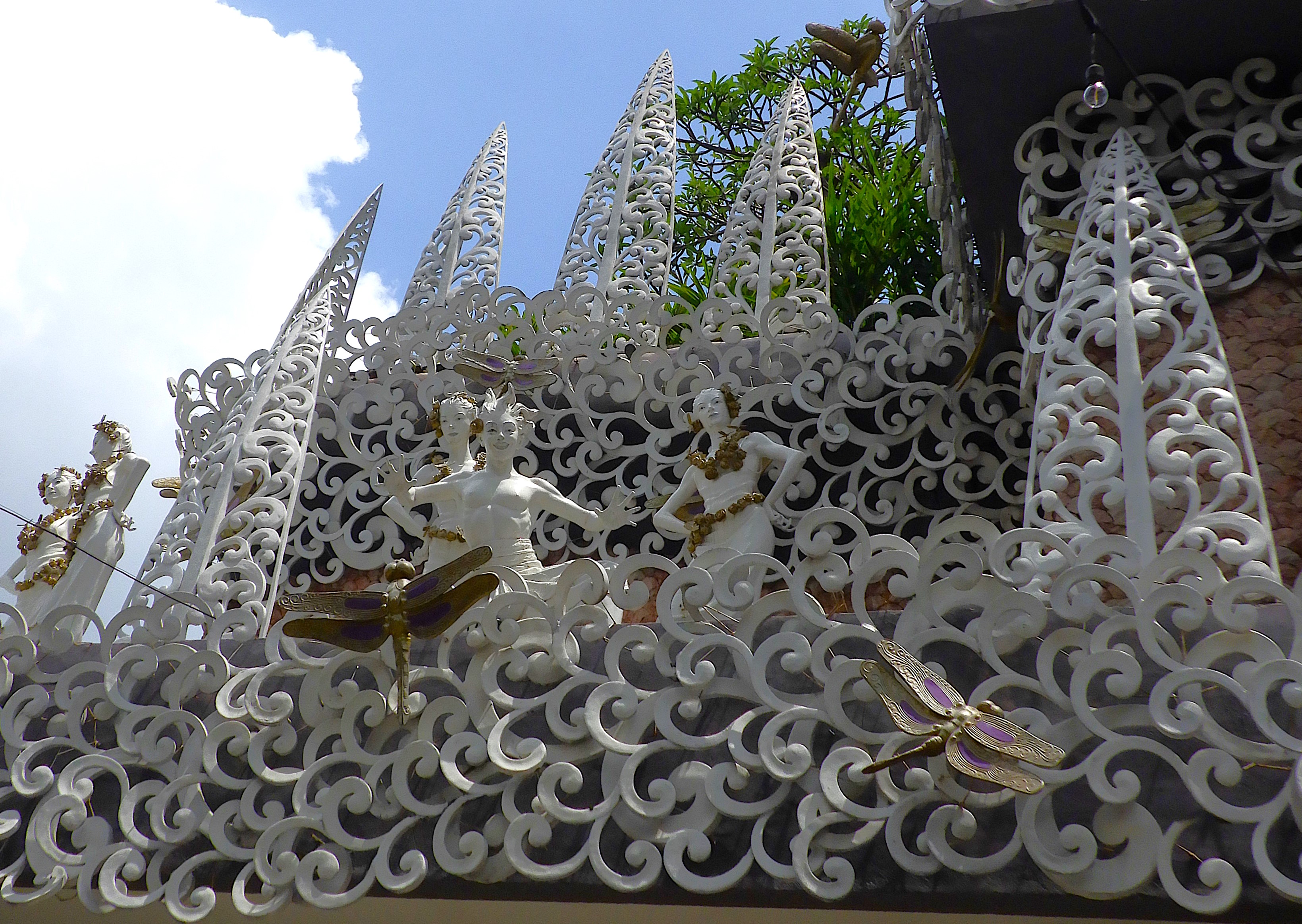
We began at a Silver & Gold factory in Denpasar, Bali’s capitol. It was as interesting from the outside as the inside. Eccentric figures adored the exterior everywhere you looked. The huge interior expanse is filled with glass jewelry cases each displaying artistic designs that brought together precious stones and metals in ways I’ve never seen before. Unfortunately, no photos were allowed indoors.

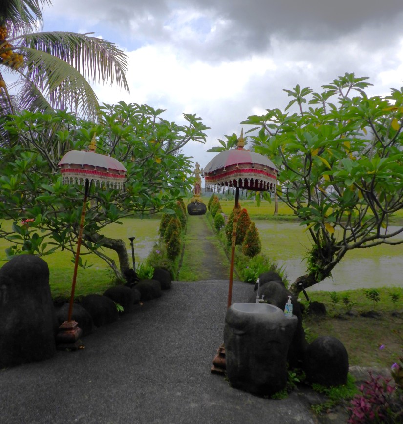
Nearing noon, we arrived at the Bebek Joni Restaurant in Ubud. A restful atmosphere greeted us in the open-air setting, complete with wonderful gardens, water lilies flowering in reflection pools, individual gazebos and umbrella tables, all overlooking rice fields. It was inviting and lovely, despite the darkening clouds that threatened rain at any minute.

Spring rolls with satay or sweet/sour sauce, chicken curry and shrimp curry fill our bellies. And just as we finished, the rain began. Serious rain. Big, fat drops and so heavy, it limited visibility to anything beyond 50 feet. We retreated to our waiting vehicle.

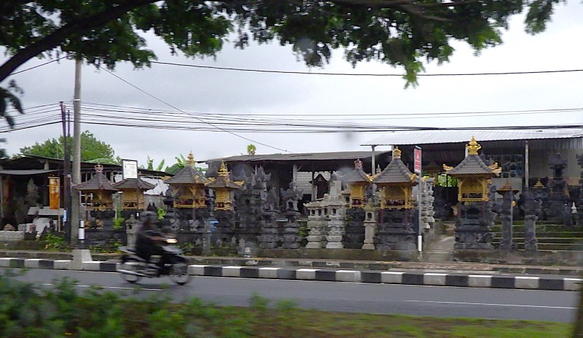
The downpour turned roads into streams, as we passed a never-ending string of temples and store fronts each specializing in wood carvings, kites, straw baskets, concrete statues of every size Buddha or Shrine imaginable.

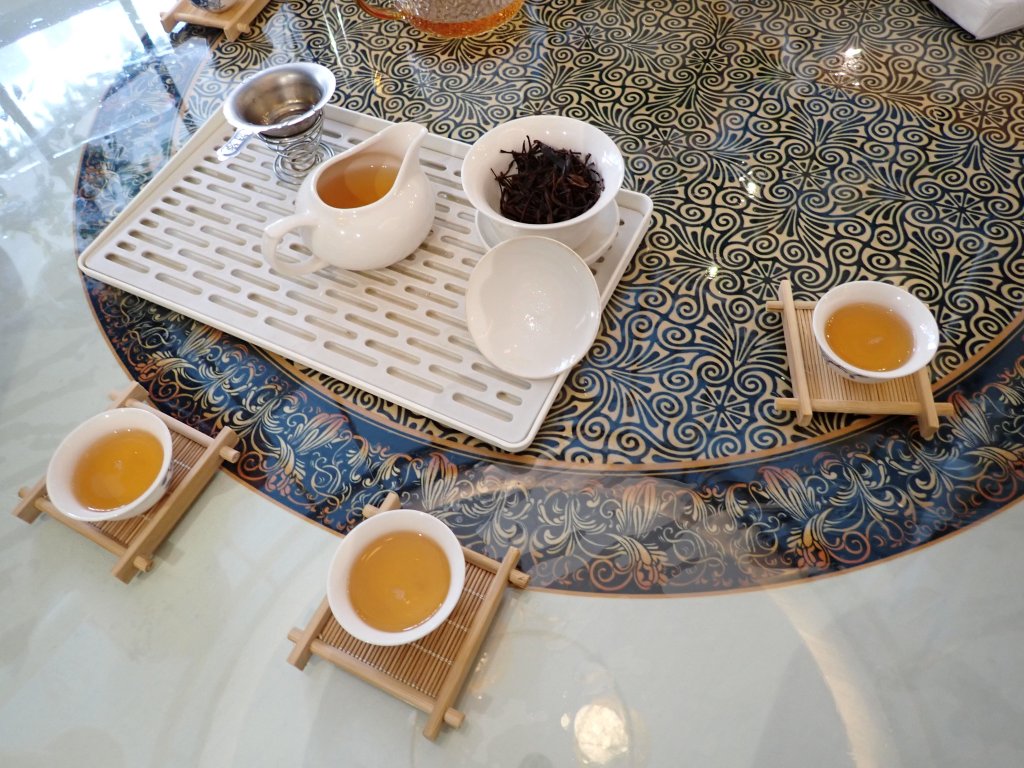
Our next stop was a tea and coffee tasting locale. Their covered veranda overlooking a deep ravine was the perfect place to wait out the deluge. In fact, the rain pounded on the bamboo roof, creating an astounding dB level of 90, according to our phone app!

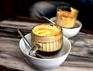
Out of the 15 tastings, our top 3 tea favorites were red ginger, lemongrass and mangosteen. And favorite coffees included coconut coffee, and the renowned Luwak Coffee. Yep! Find all the sorted details here: https://en.wikipedia.org/wiki/Kopi_luwak


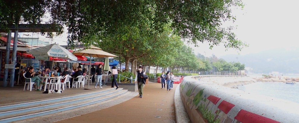
The relentless rain altered our intended plans of viewing the terraced rice fields further north. Radar showed clearing to the south, so we returned to the beach community of Sanur. Clearing skies there allowed us to walk along the promenade and settle into a beachside café to watch the fishermen and families enjoying the shore.


Back aboard, our Balinese crew glowed with happiness of spending the day with family.
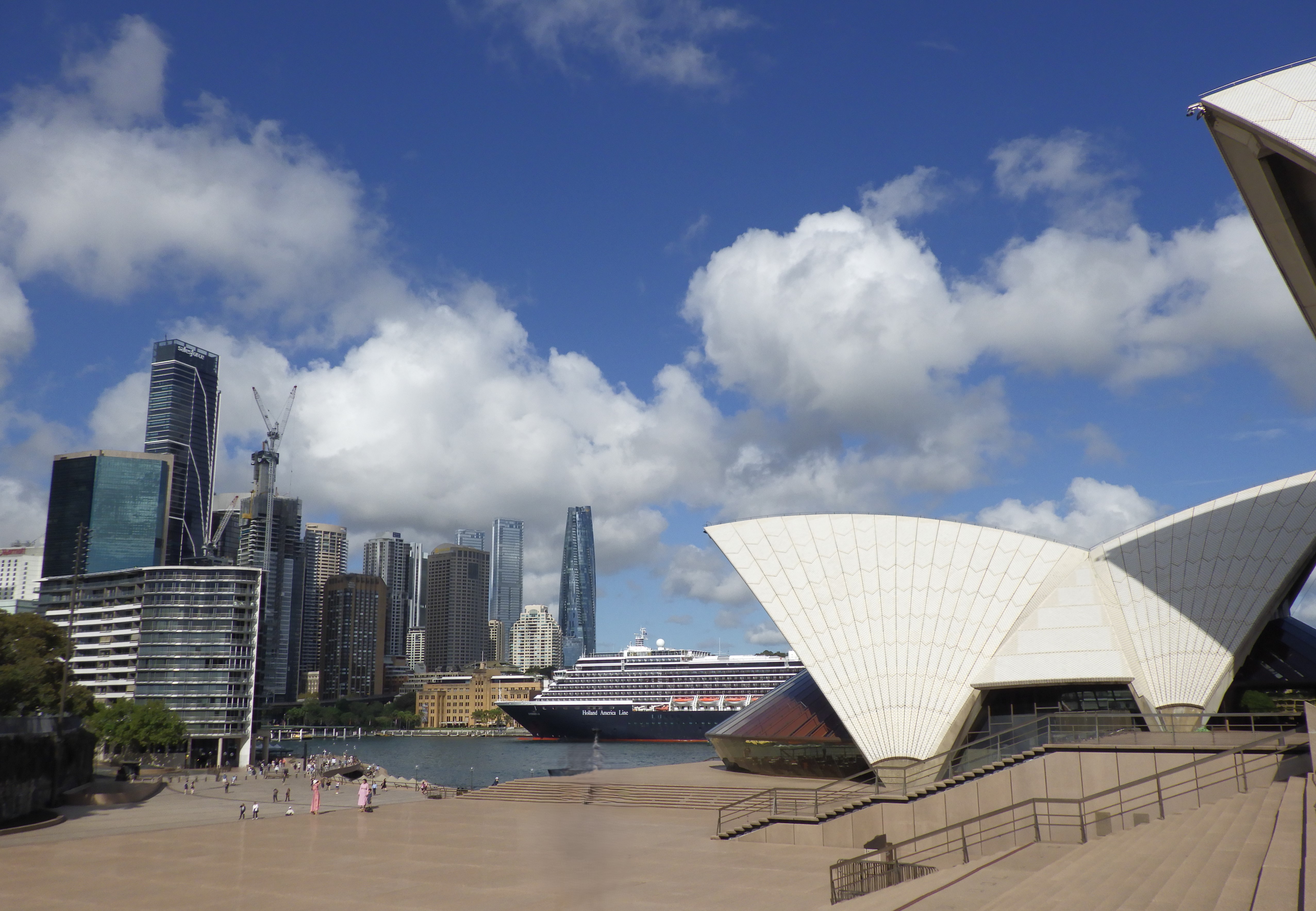
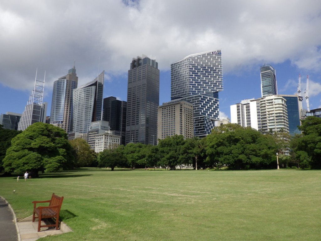
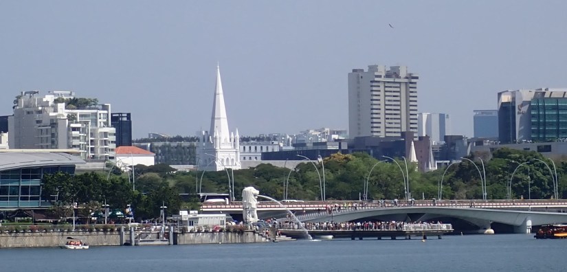
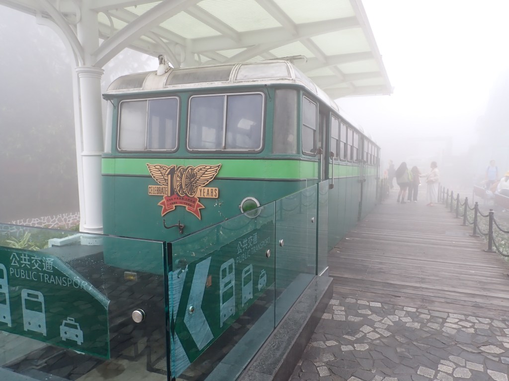
Zuiderdam makes her 1,000 nautical mile passage from Bali to Singapore in two days. This modern, clean city of 6 million people has so much to offer: 120 miles of coastline, lots of green spaces, and wonderful architecture. Their MRT subway system is inexpensive, easy to navigate and spotless to ride. For less than $6, we covered many of the sites across town. And yet still managed to walk 15 miles over our two-day stay.

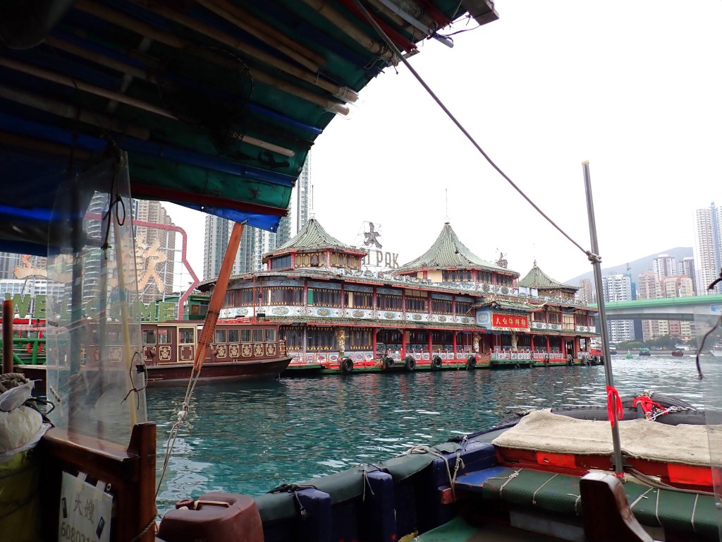
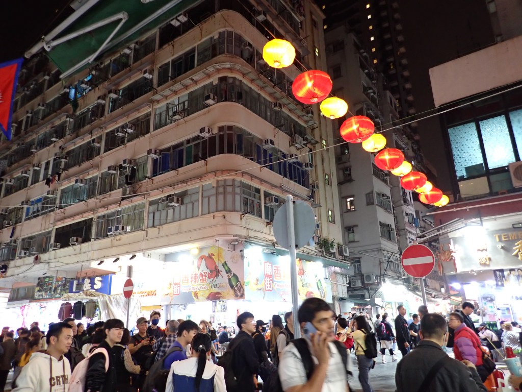
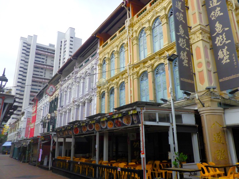
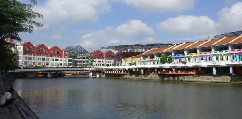
We visited some of our favorite places, like Chinatown, Riverside Point and Clarke’s Quay. But no matter how many times you come to Singapore, there are always new things to discover.
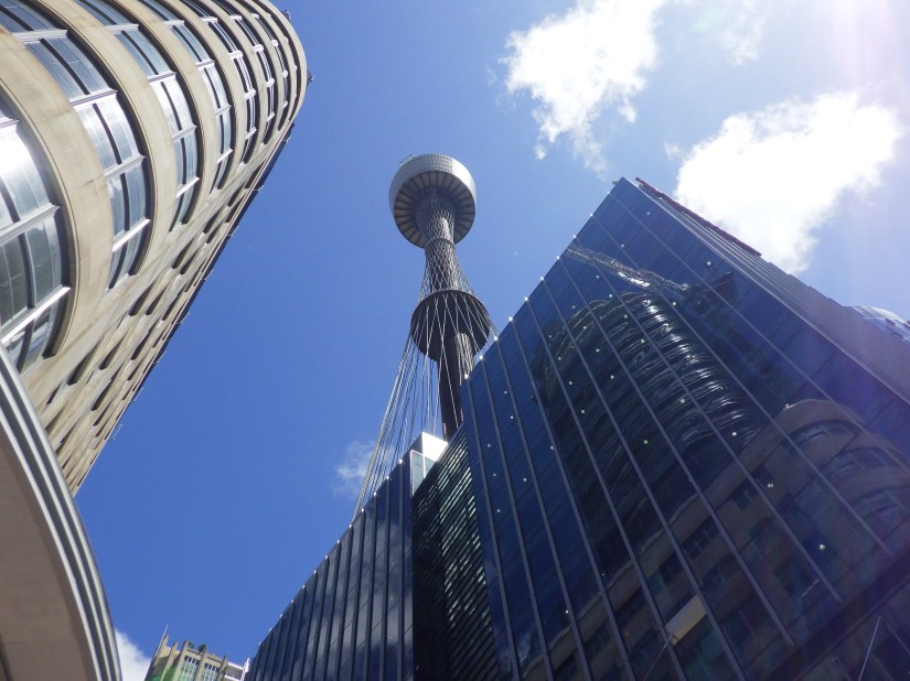
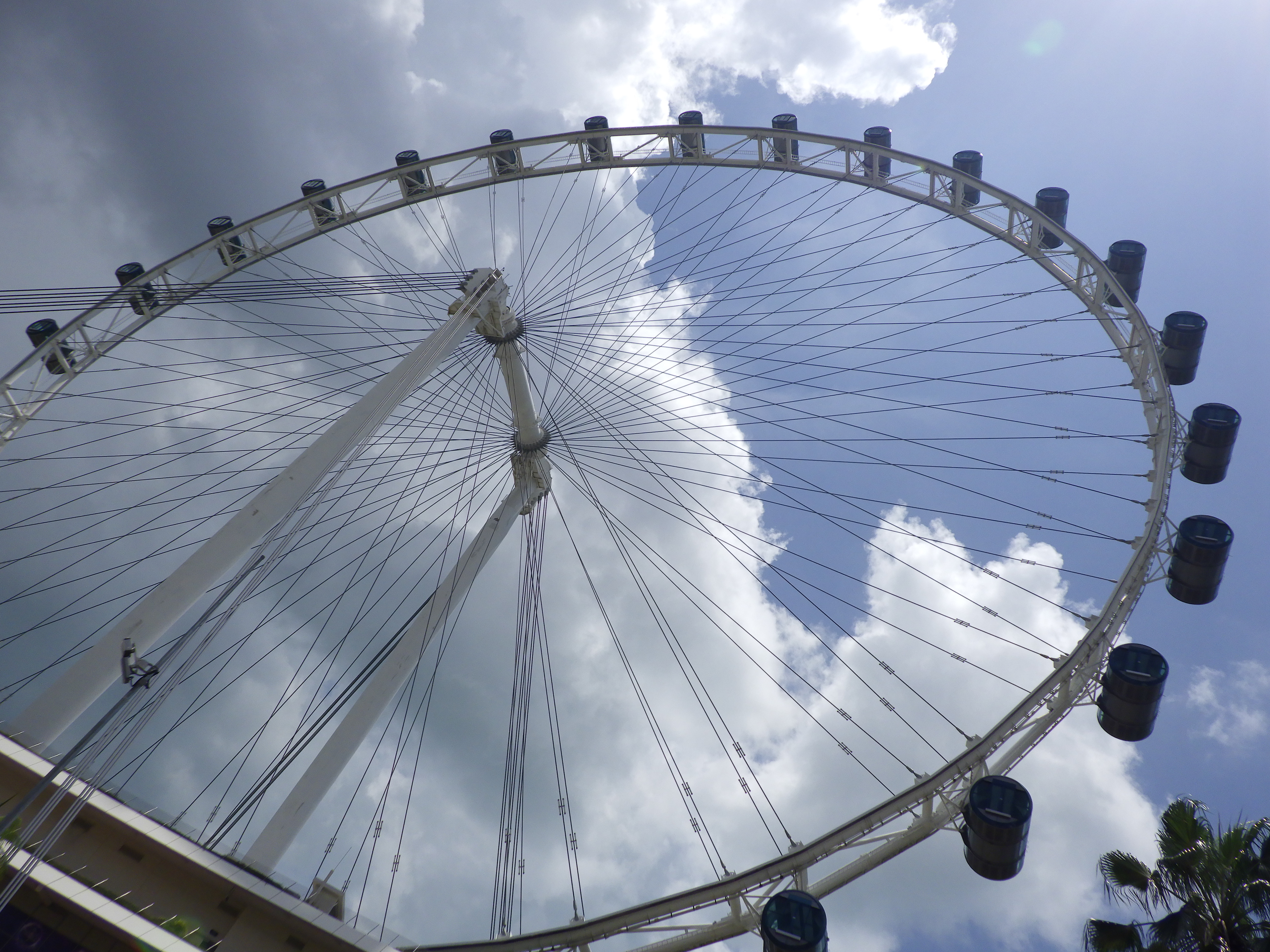
The Singapore Flyer, Asia’s tallest observation wheel gave us a whole new experience and view from the 541-foot elevation. It features 28 cars, each the size of a bus, with one rotation every 30 minutes. On a clear day, it’s said you can see about 25 miles.

Back on the ground, we crossed the mind-boggling, 918-foot-long Helix Pedestrian Bridge. It was built in 2010 out of a special duplex stainless steel at an estimated cost of $51 million.

If its design and fabrication isn’t enough to wow you, it connects you from Marina Centre to Marina South, home to the most stunning shopping complex you may ever see.

We were lucky that the forecasted rain never materialized, but the humidity sure did, as thermometers soared to the 90’s. After a wonderful day in the city, we retreated to showers and naps back aboard.

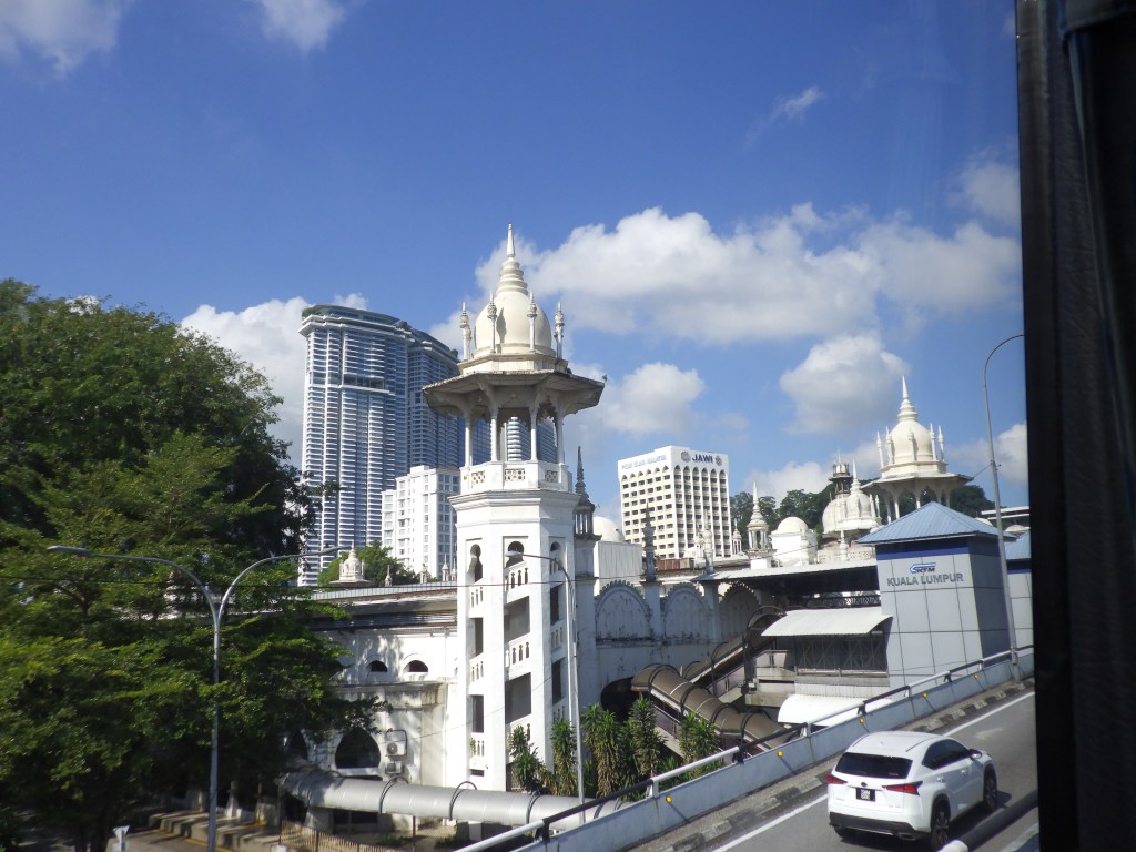
It’s early morning when Zuiderdam pulls into Port Klang located along the Strait of Malacca. This main commercial port of Malaysia is also the gateway to Kuala Lumpur, 14 miles inland. The air is already thick with heat as we board our air-conditioned coach bus for an 8-hour Holland America excursion. Whether it’s Sunday, or because it is the first day of Ramadan, traffic is light as we approach the city of 34 million, largely Muslim population.

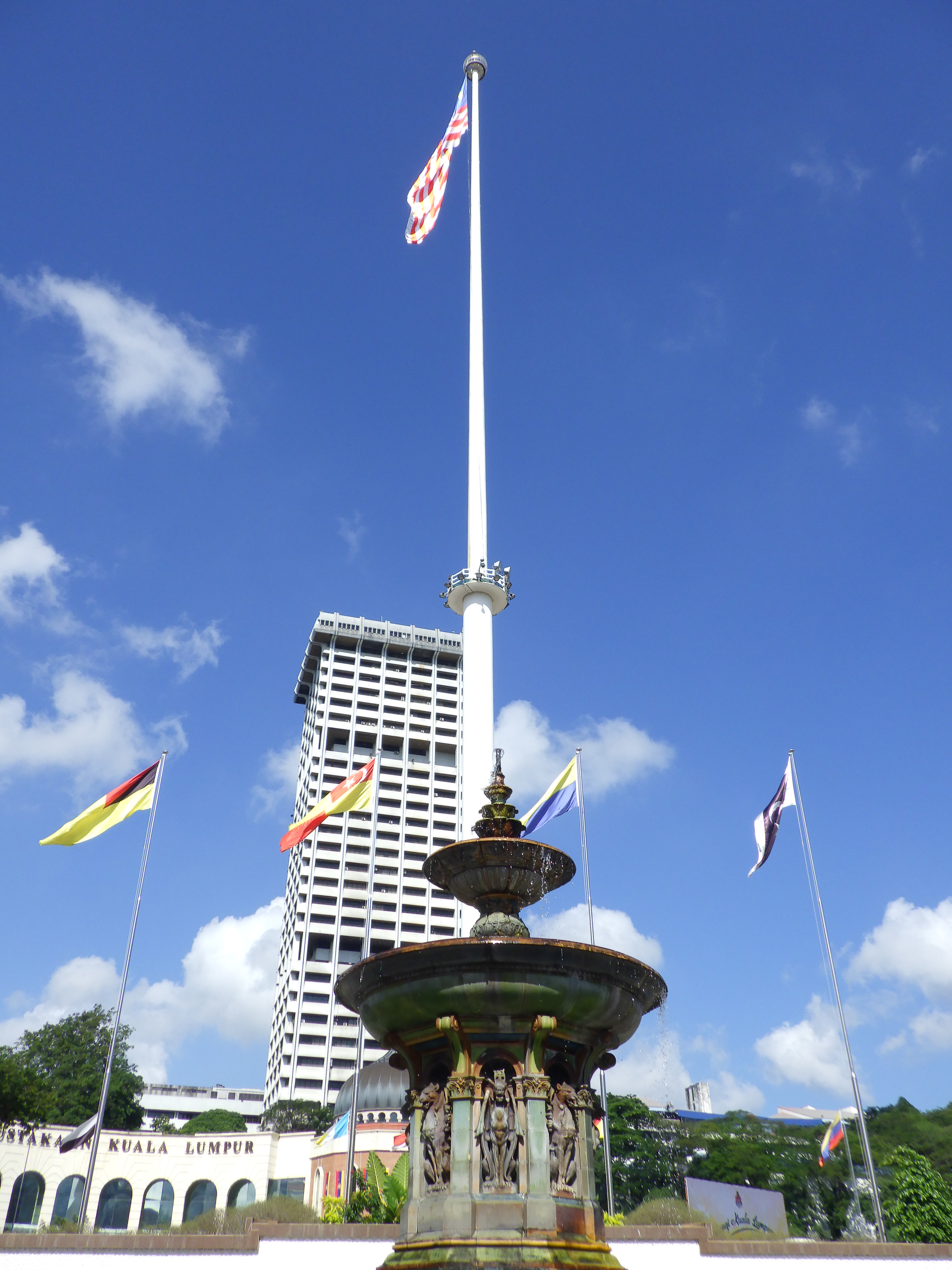
We strolled Independence Square, home to the Sultan Abul Samad Building, Royal Selangor Club, the National History Museum, a 312-foot flagpole and adjacent municipal building, police station library and park.

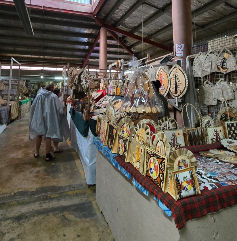
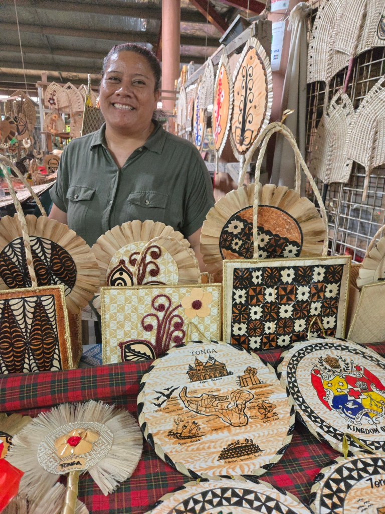
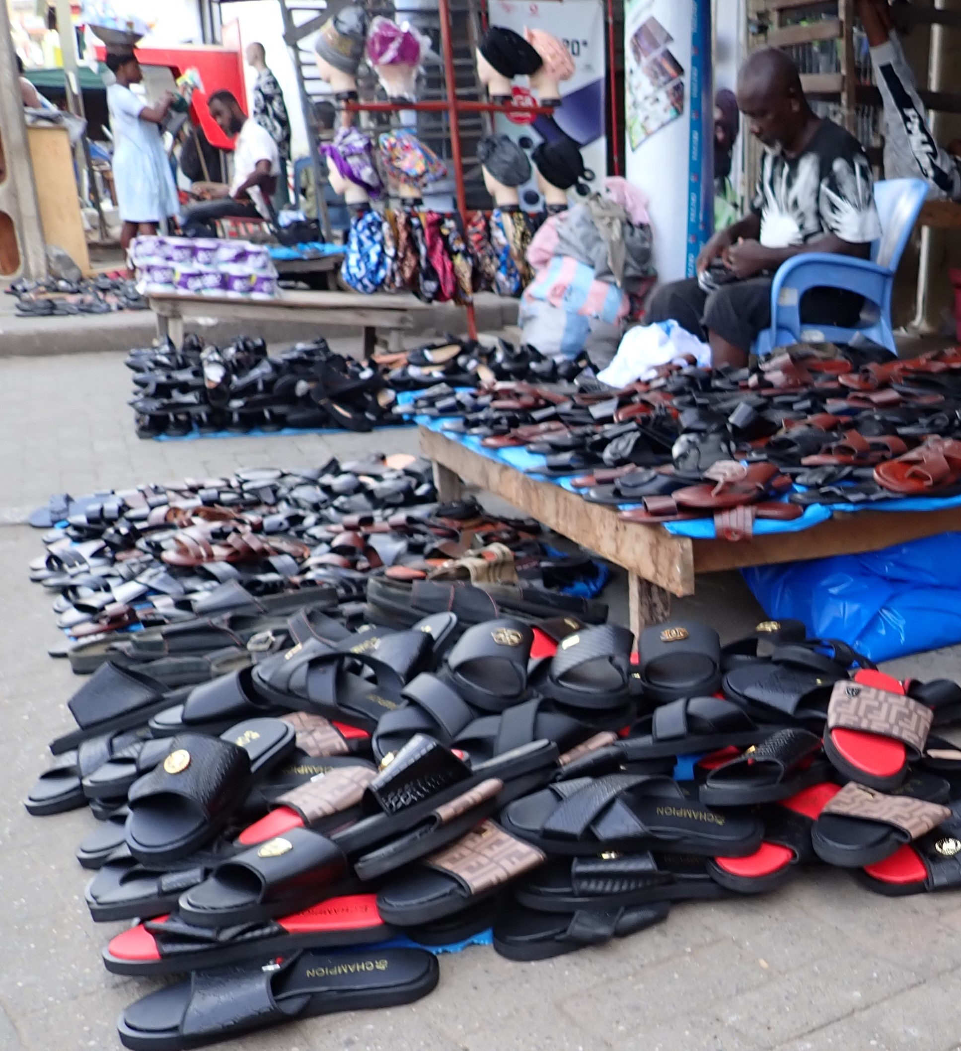
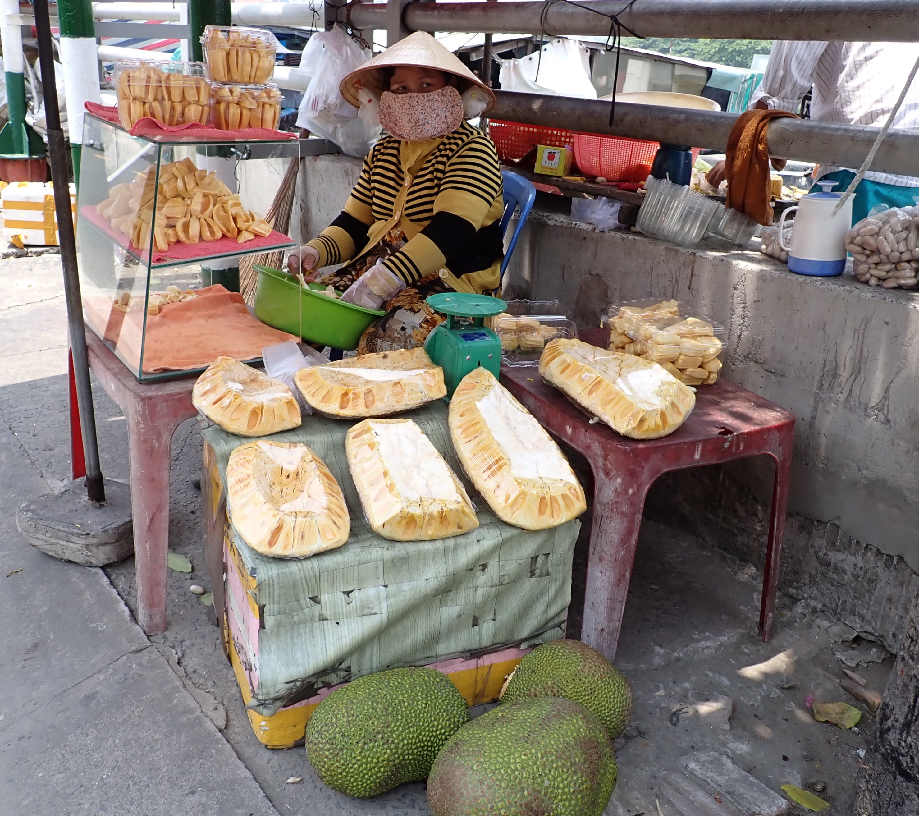
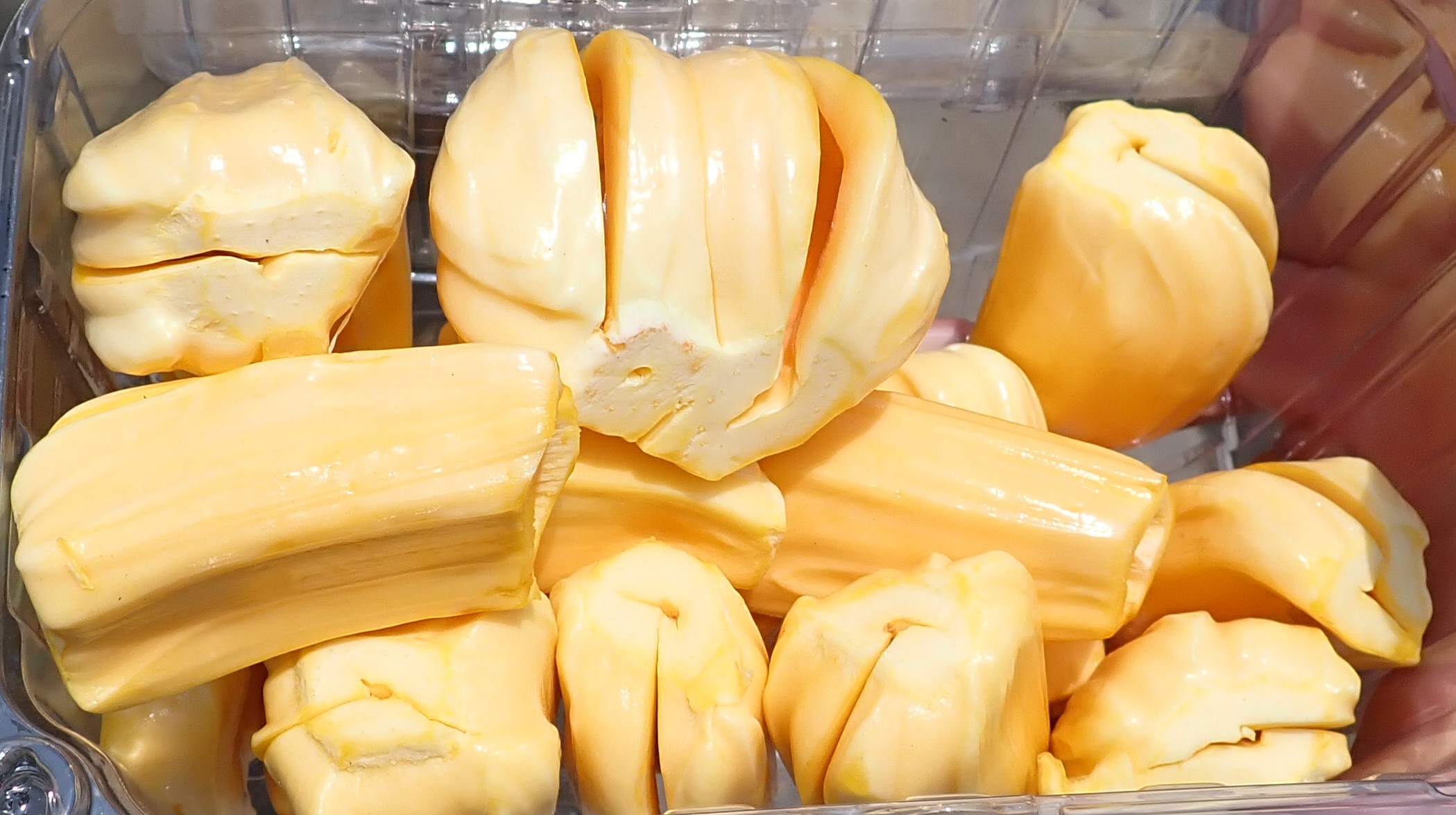
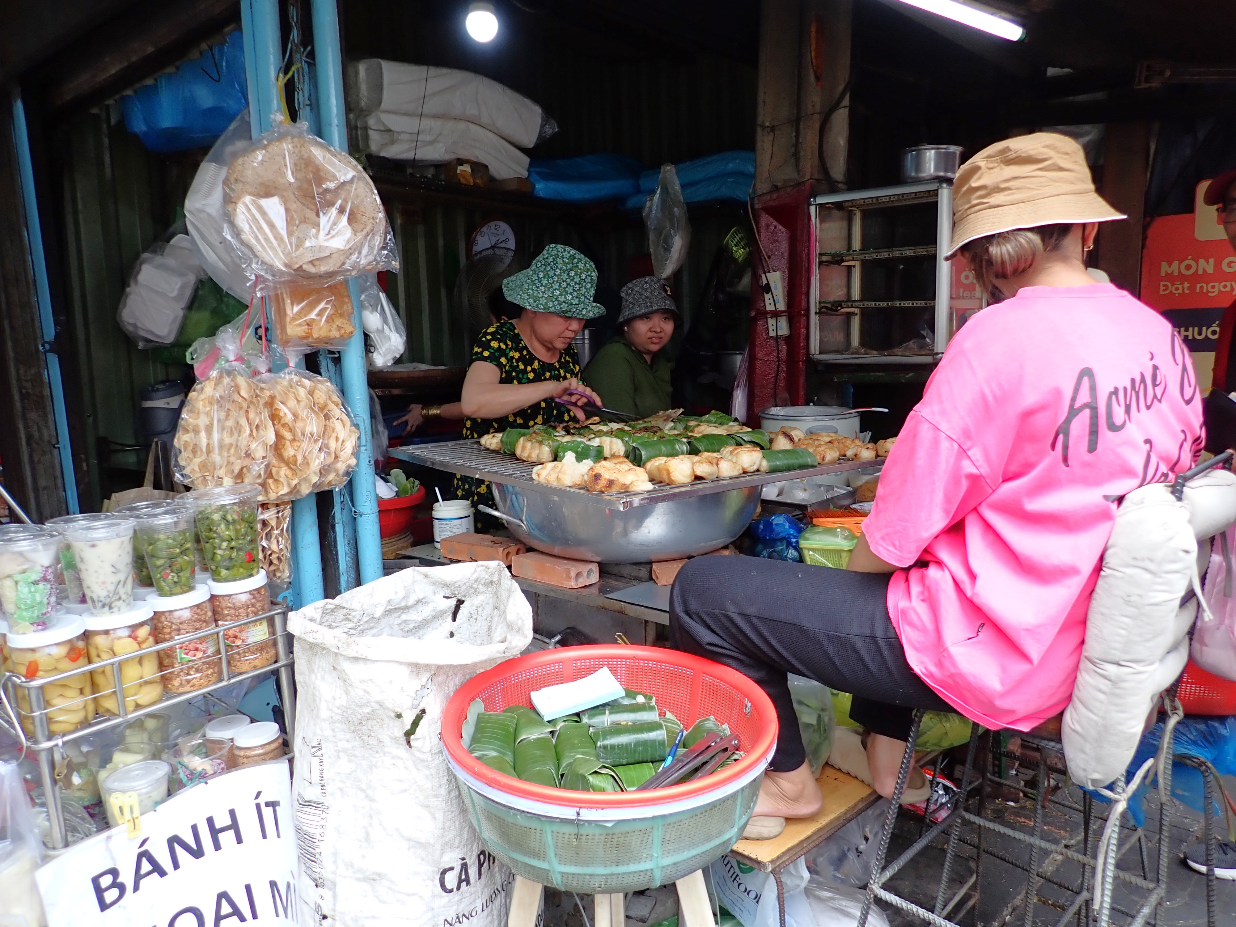
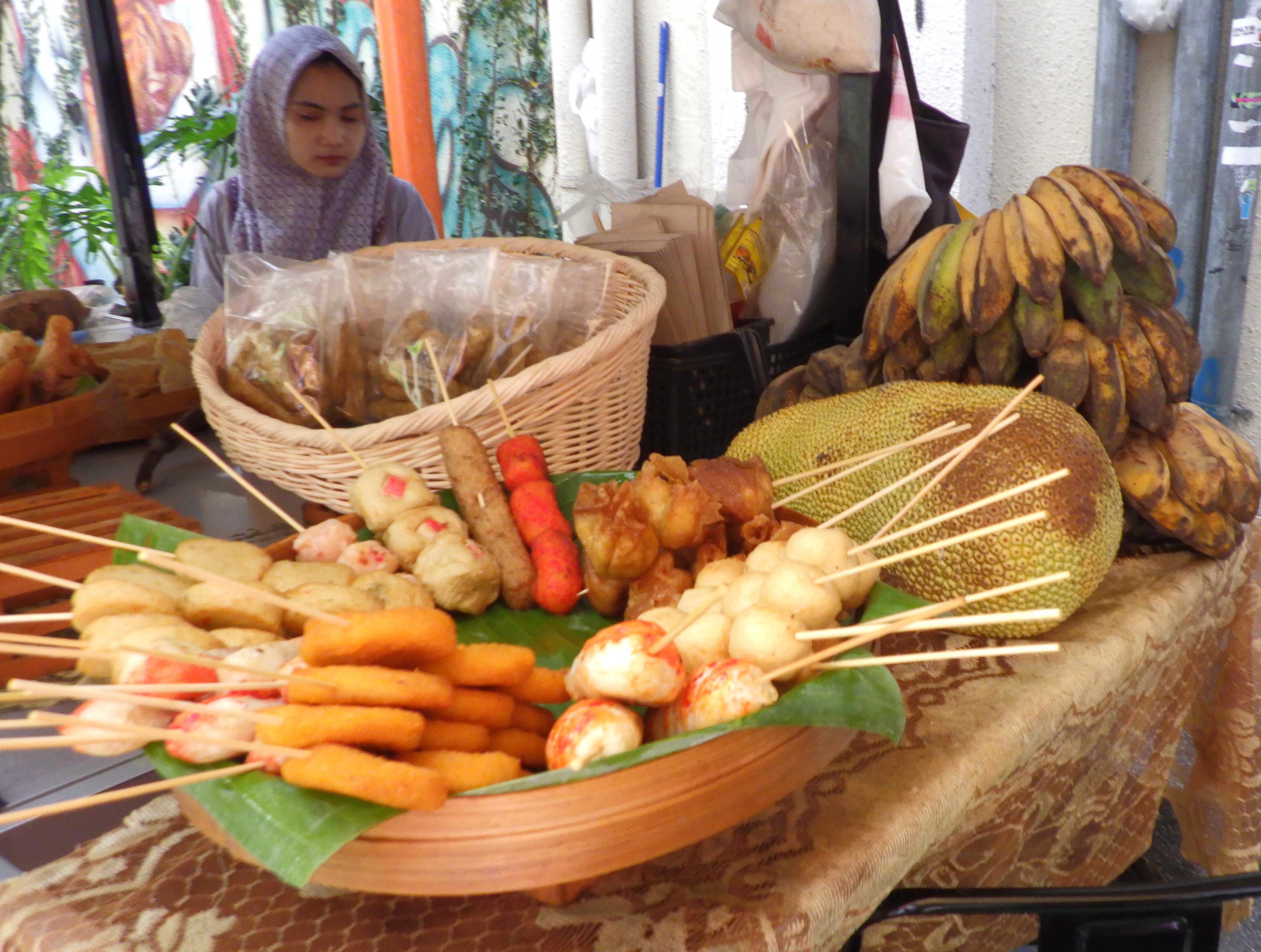
A few blocks away, the art-deco designed Central Market, also known as Pasar Seni, contained booths full of artisan crafts from pewter, wood carvings, batik textile wares, and typical souvenirs. And of course, food!

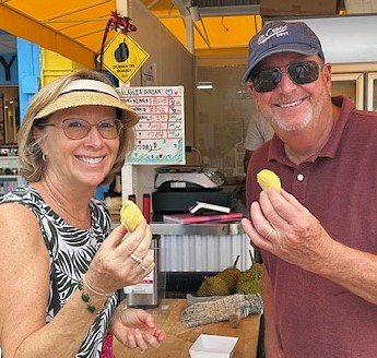
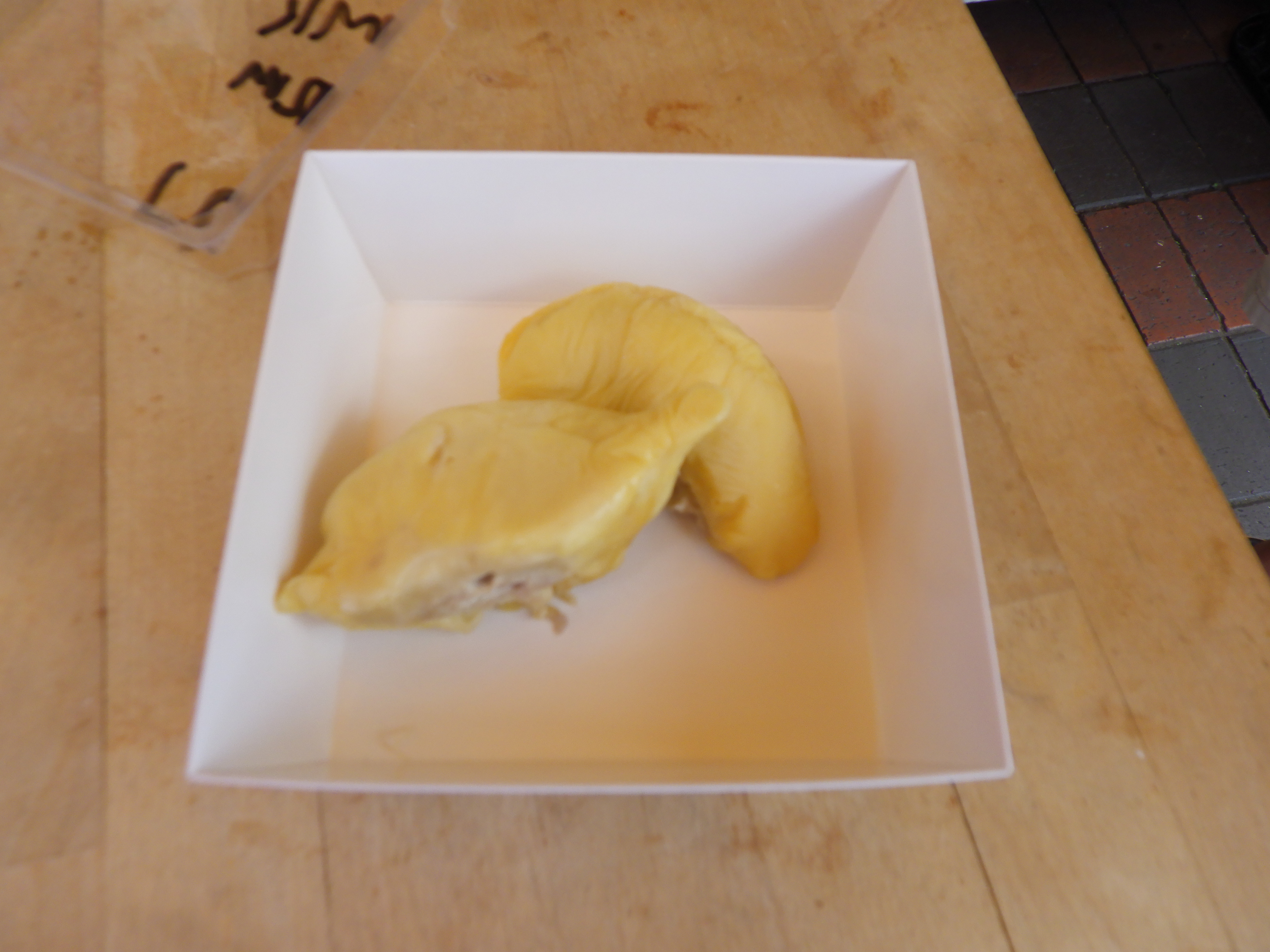
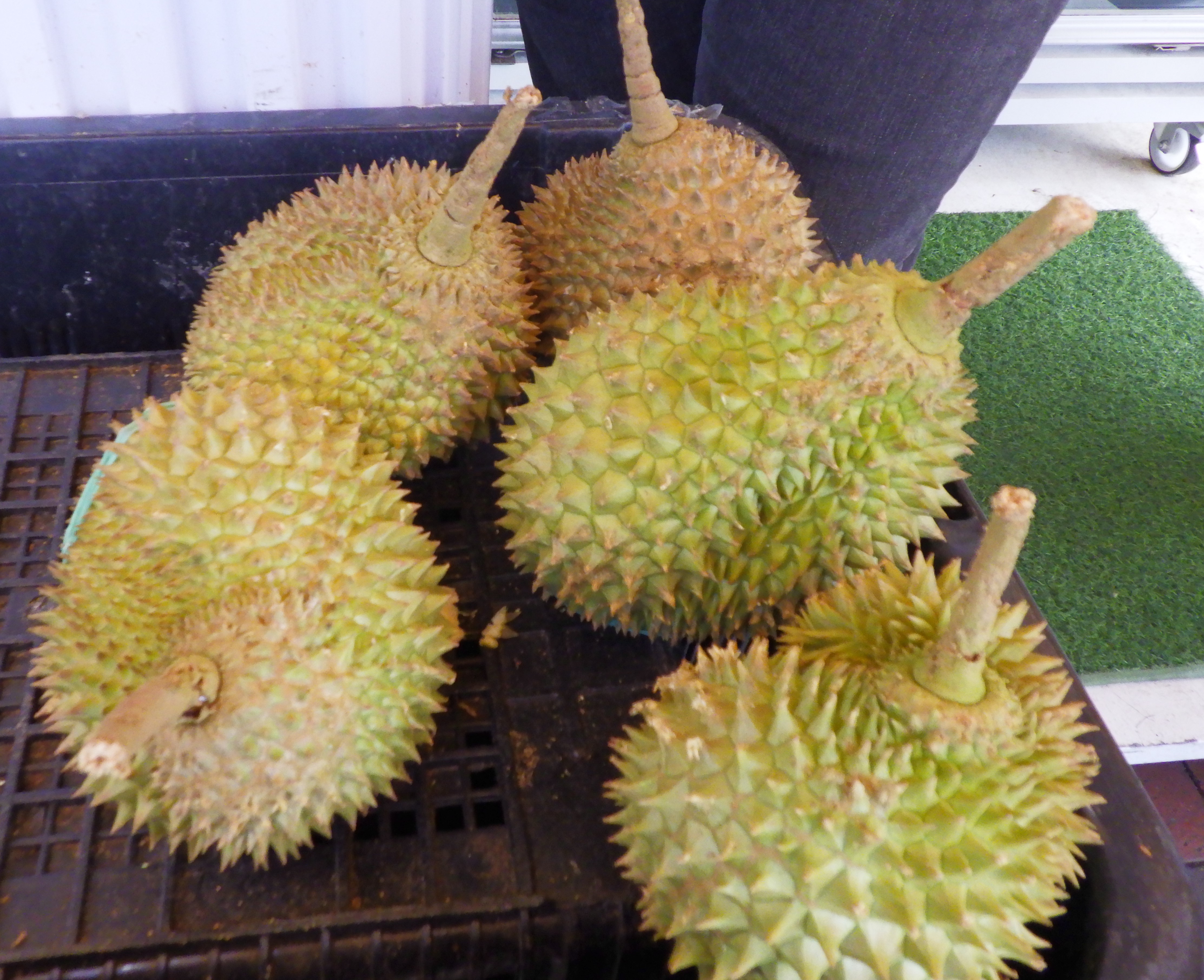
Ever hear of durian? We have always wanted to taste it. Today was the day! In Malaysia, they call it the King of Fruit. It was uniquely tasty, creamy, and not so smelly as its reputation claims (but then, our tolerances are high… we also love Limberger Cheese!)


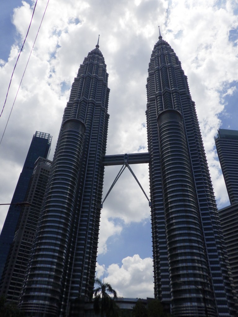
Downtown is clustered with soaring skyscrapers of innovative architecture, including the KL Tower (1,381 feet) and iconic Petronas Towers, featured in the 1999 movie, “Entrapment” starring Sean Connery and Catherine Zeta Jones. The 88-story twin towers feature a connecting skybridge, perfect for movie thrills.
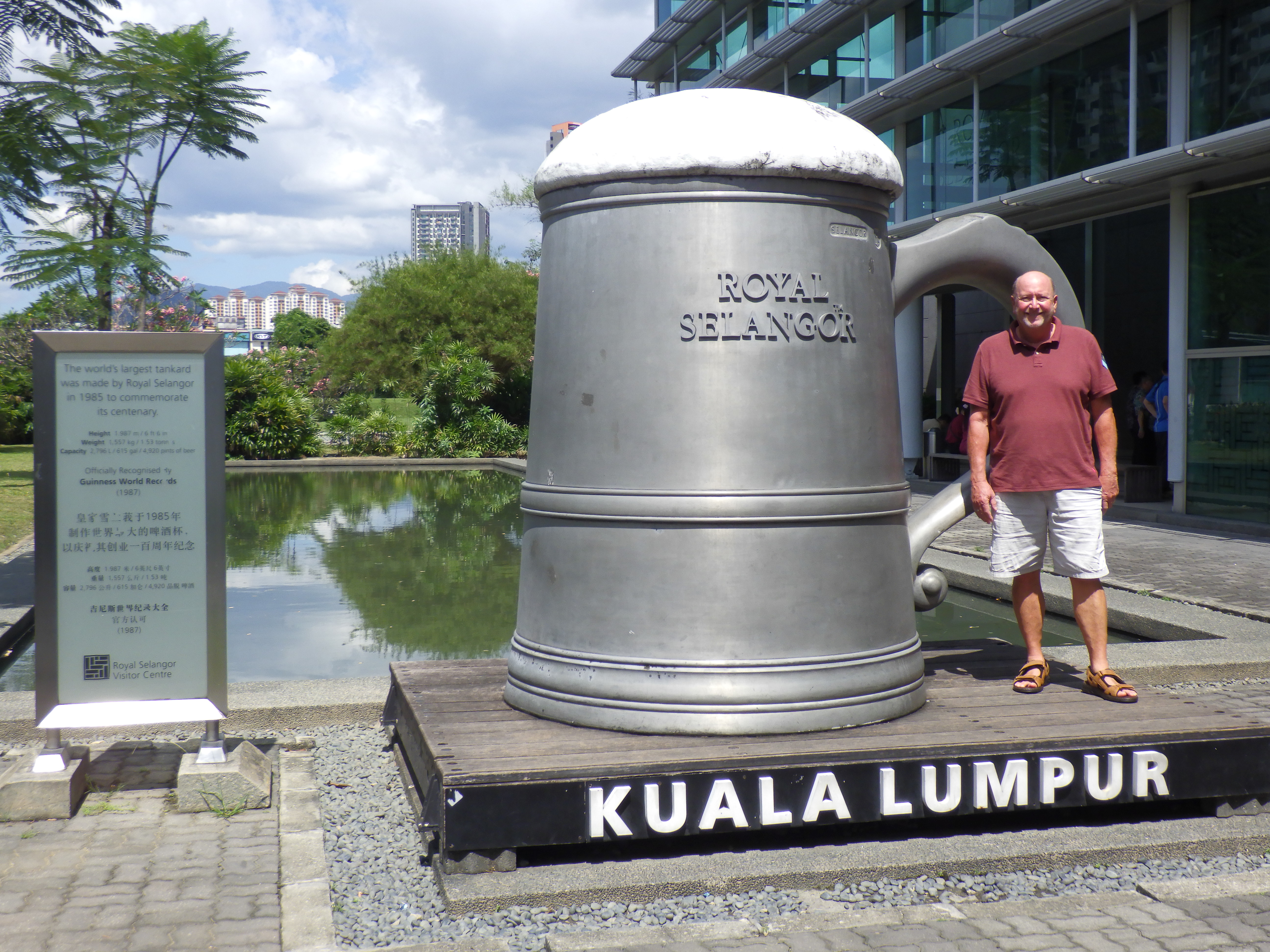
After a buffet lunch at the Ibis Hotel, we visited the Royal Selangor Pewter factory whose history here reminds us of Kuala Lumpur’s humble beginnings as a small mining town. Not only did we learn about the composition, history and making of pewter, we viewed magnificent works in their showroom.


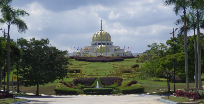
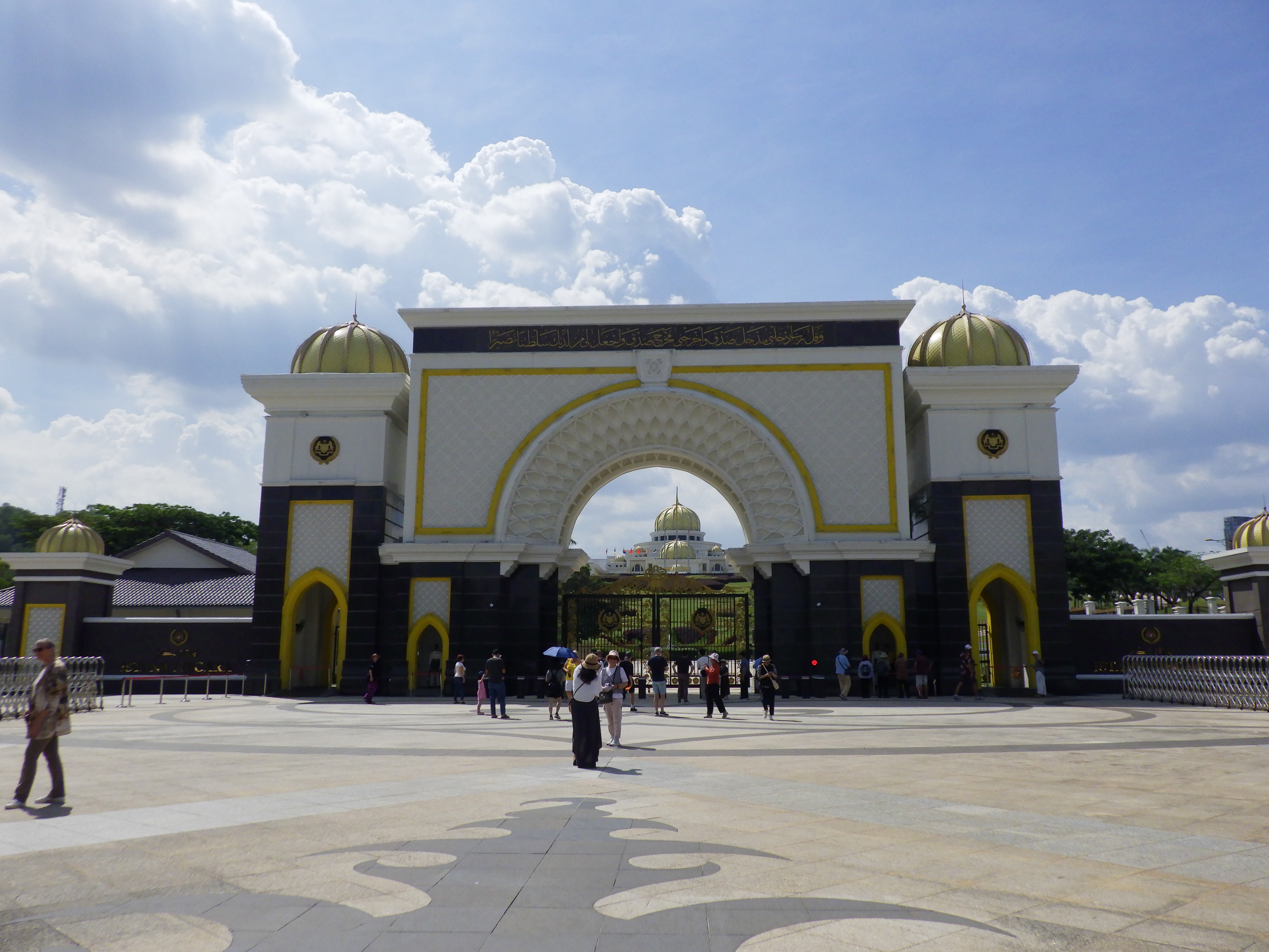
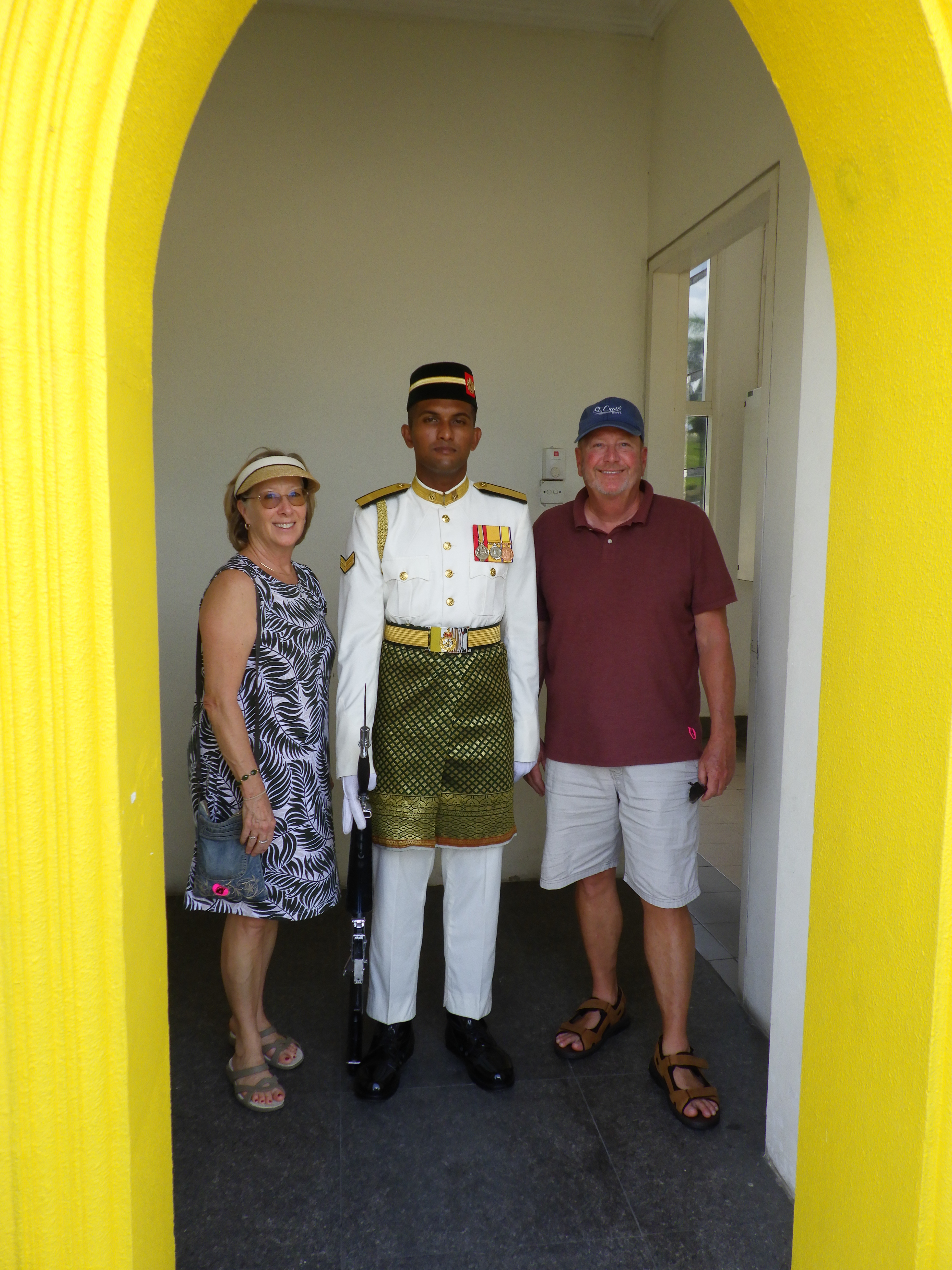
Beyond the ornate gates, the gardens and sweeping lawn lead up to the Royal Palace. This is the official residence of Malaysia’s King. Only photos were permitted from a distance, but maybe the best photos were of the friendly guard who didn’t mind including him.
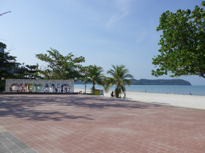
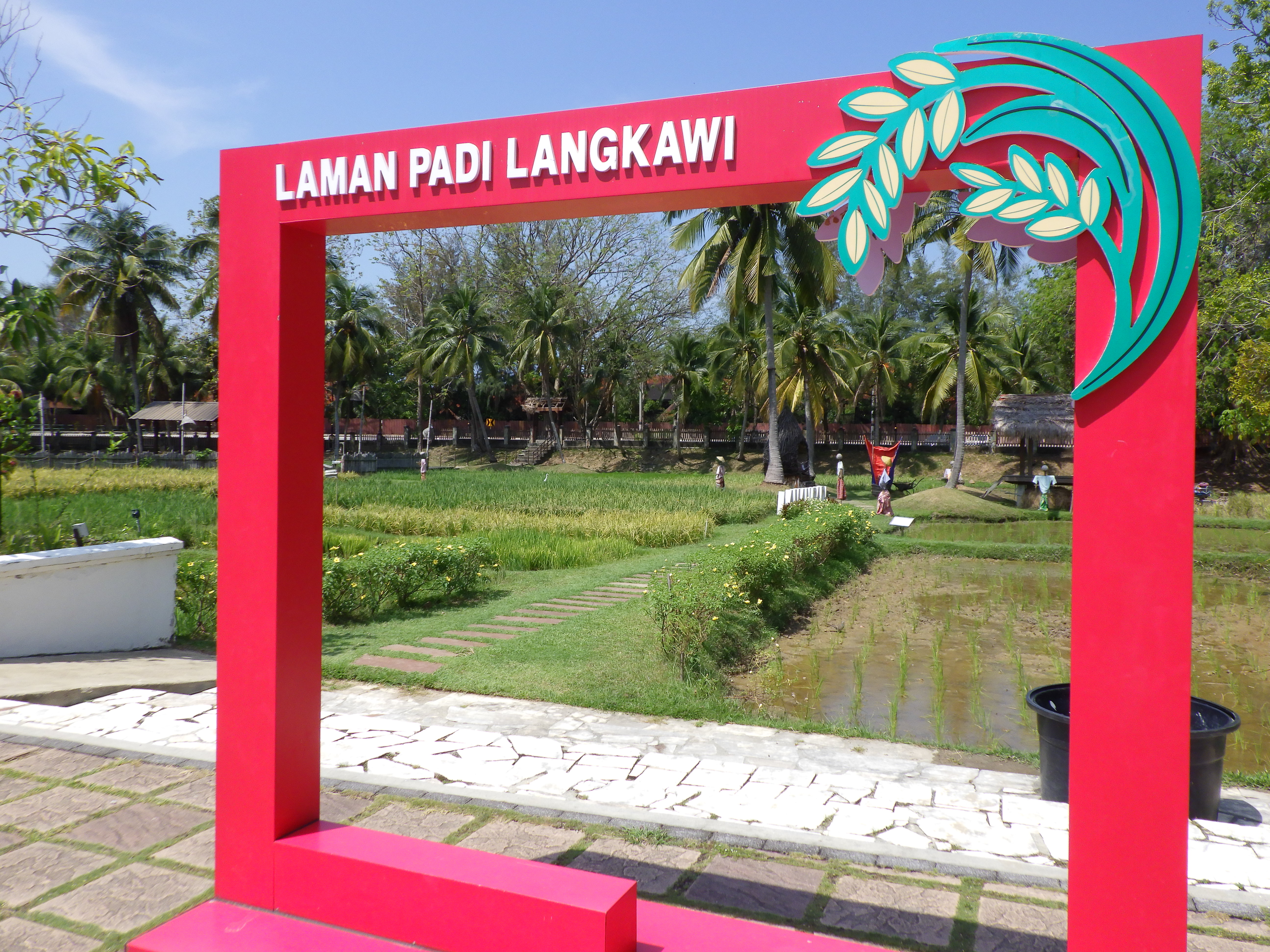
We sail 253 miles NNW to Langkawi, a vacation island destination just 19 miles from mainland Malaysia. Beautiful beaches, hotels, restaurants, Malaysia’s largest aquarium, and a cable car that rises near the top of Mount Machinchang.

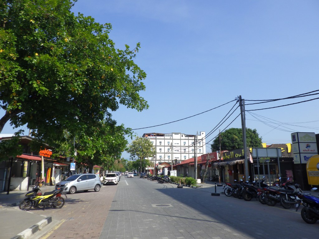
But after the previous day’s long excursion in Kuala Lumpur, we opted for an easy exploration of this beachside town. A narrow, brick boardwalk connects the many eateries, watersport huts, hotels and resorts along Chenang Beach.

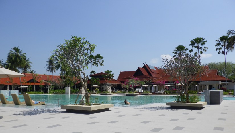
An hour stroll brings us to the Pelangi Resort, where we rested and rehydrated in the near 100-degree heat and humidity.
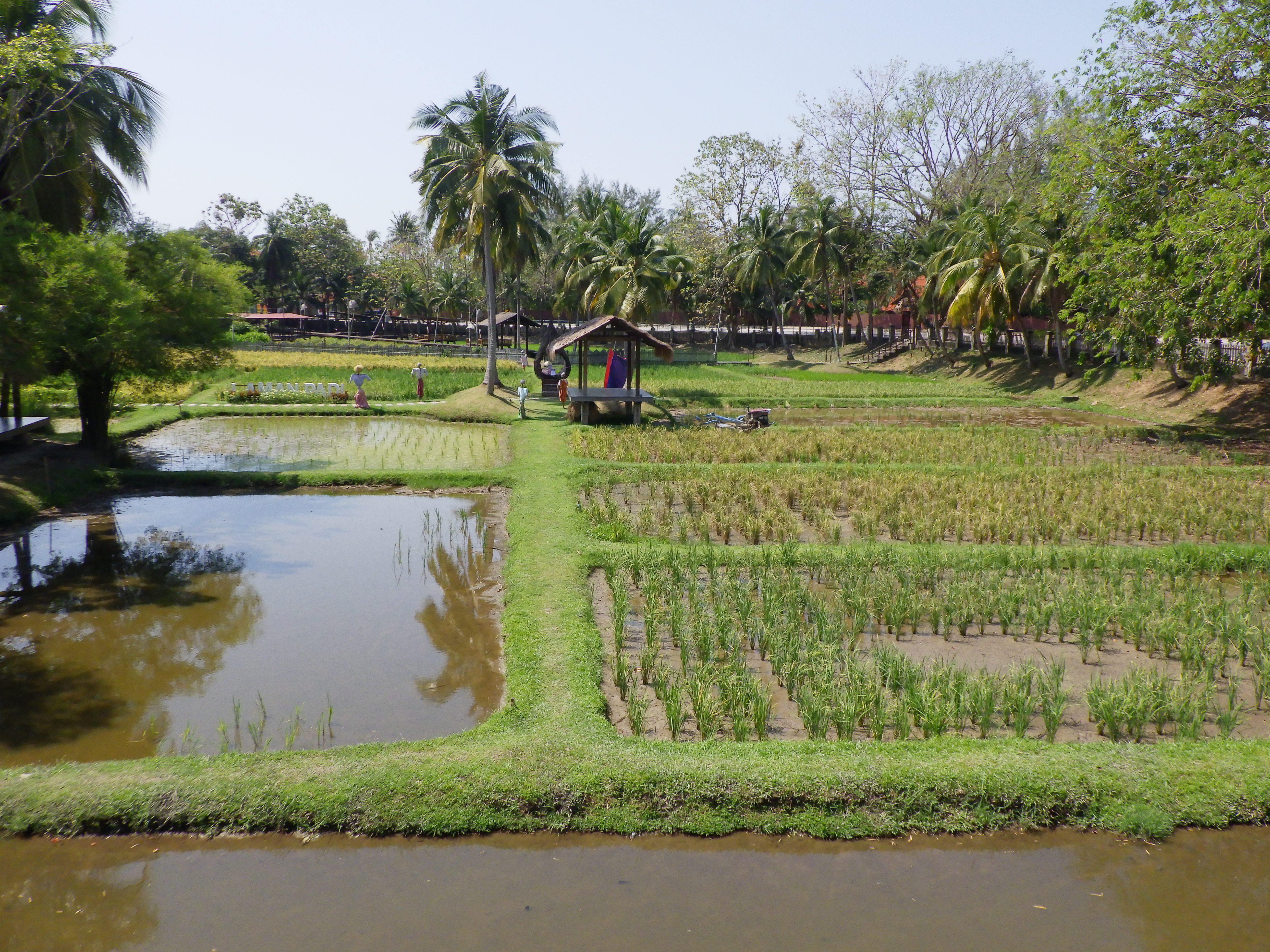
The adjacent Laman Padi Langkawi rice museum featured rice fields, gardens, and galleries; everything involved with the cultivation of rice, Malaysia’s primary export.

Before heading back to the ship, we found a relaxing, 40-minute foot massage for the equivalent of $9. Our afternoon departure leads Zuiderdam 155 miles northwest in the Andaman Sea towards Phuket, Thailand.

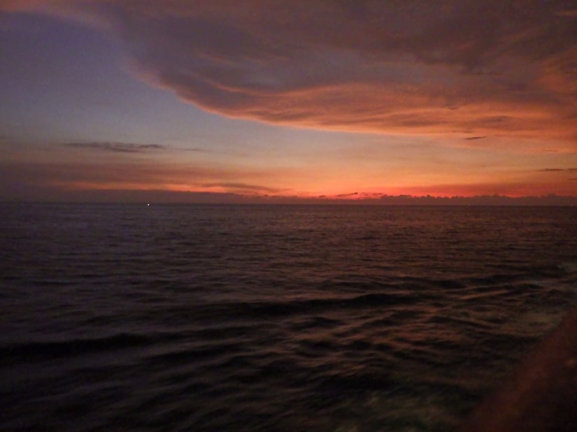
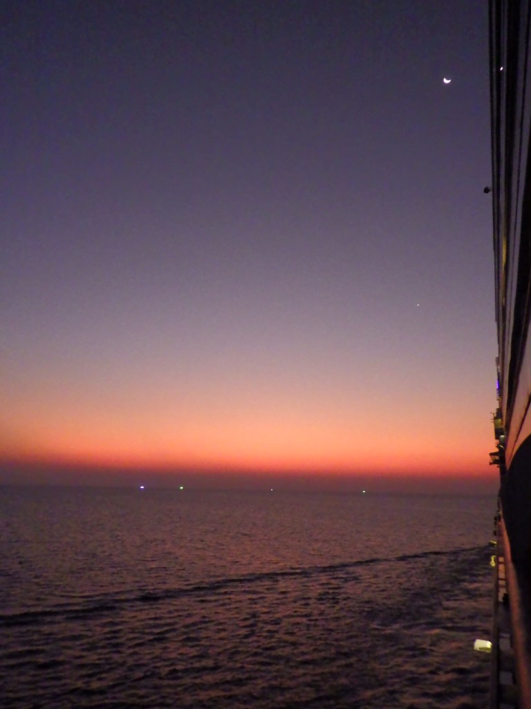
As the moon rises, we pass countless fishing vessels who use green lights in the darkness to attract their catch.
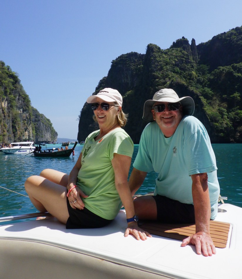
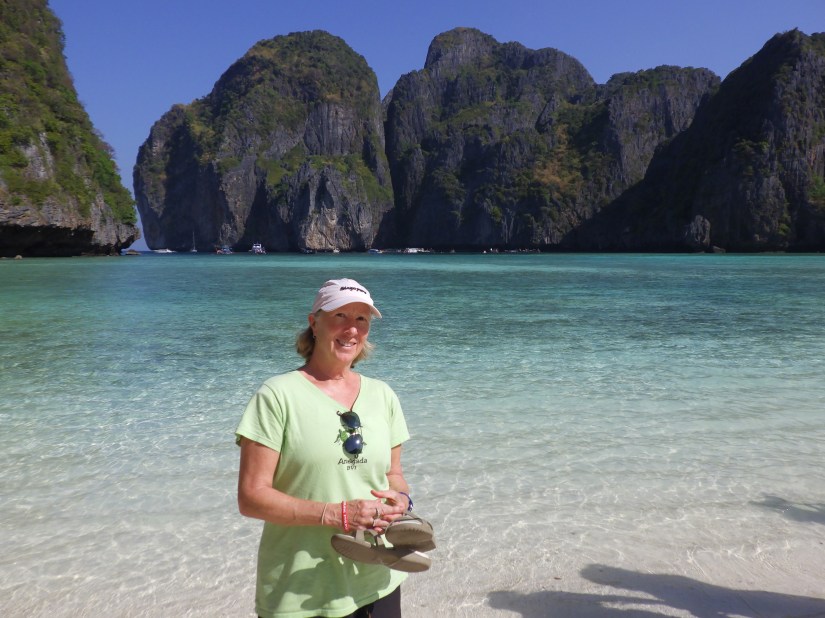
Our last visit to Thailand was an immersive trip in 2001 when we explored Chang Mai in the north, the capital city of Bangkok, Phuket in the south, as well as its offshore islands. It’s a fascinating country with so many wonderful things to see and experience. But as Zuiderdam pulls into Phuket with only a short daytime visit, we decided to revisit the gorgeous limestone islands of Phi Phi Don, Phi Phi Le and Khai Islands.

We were curious to see how the islands may have recovered from the devastating tsunami in 2004. Sadly, we discovered that the resort we had stayed at in 2001 had been completely swept away and not rebuilt. But others have, and Phi Phi Don is once again a thriving tourist destination, with pristine beaches and vibrant marine life.


The island’s transformation is a testament to the culture, spirit and hard work of the Thai people who refused to let the disaster define its future.
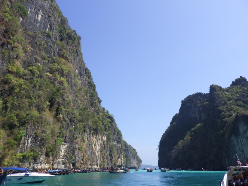
These non-volcanic islands are largely made of limestone cliffs, large caves and stunning long white sand beaches. No wonder Hollywood chose this area for the 2000 movie, “The Beach”.
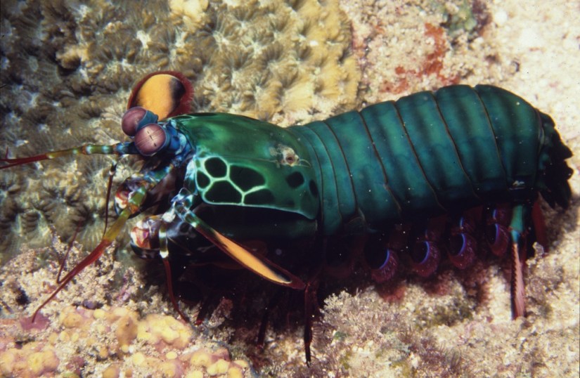
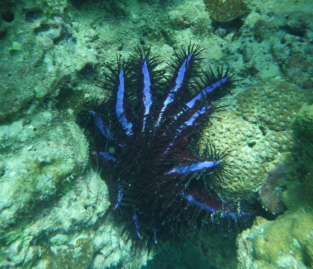
Phi Phi Islands are as exotic underwater as above, and we found a few rare treasures while snorkeling. Particularly the venomous and ominous-looking Crown of Thorns. Found in Indo-Pacific Oceans, it’s the largest starfish growing to 14” and can have up to 21 arms. They prey on hard corals and can consume up to 65 square feet of living coral reef per year. Also venomous, the Yellow-lipped Sea Krait, spends much of its time underwater to hunt eels and small fish, but returns to land to digest, rest, and reproduce. Because of its affinity to land, it often encounters humans, but the snake is not aggressive and only attacks when feeling threatened. Hopefully.

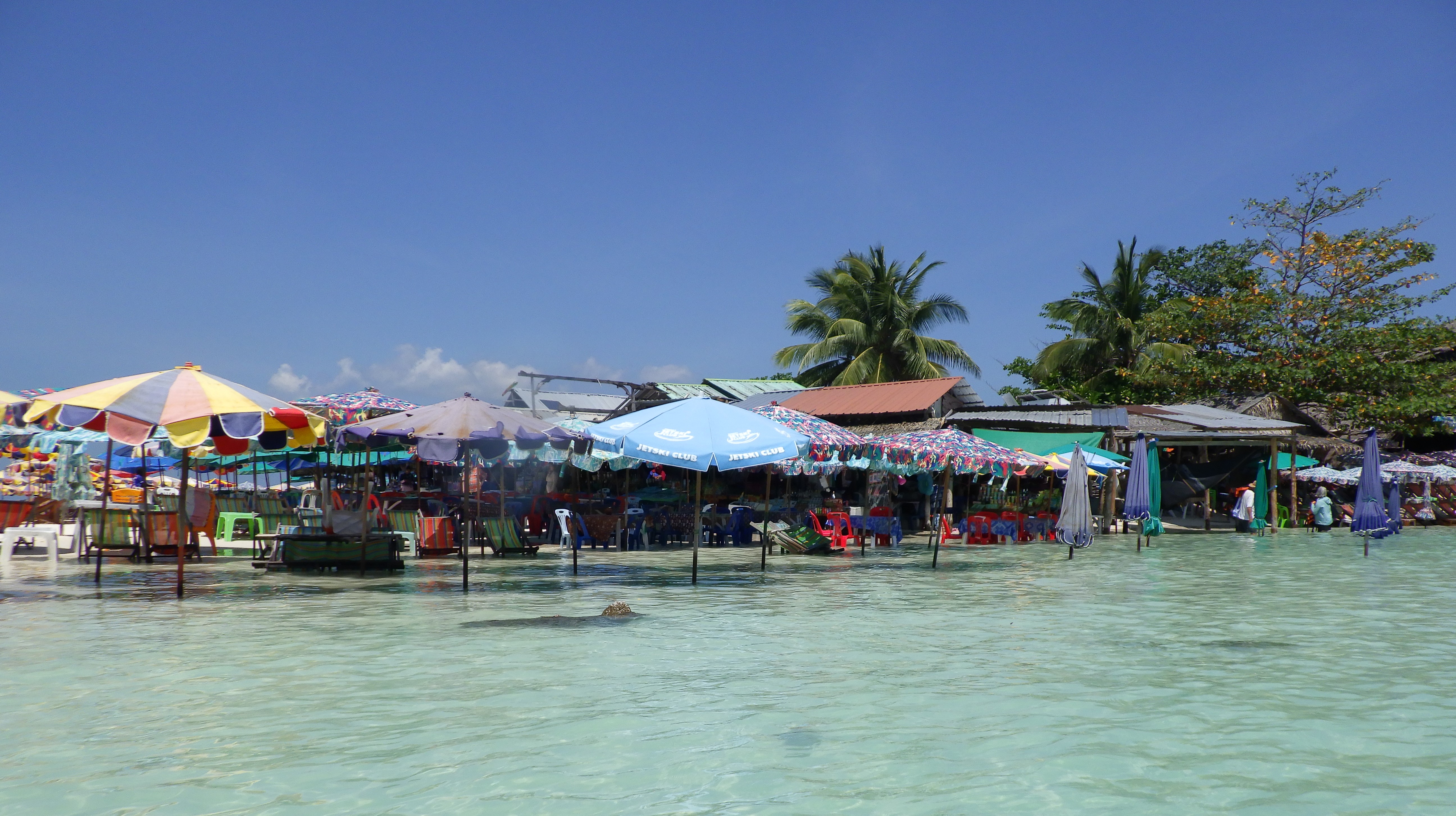
In contrast to the dramatic high peaks of Phi Phi Islands, our last stop is the sandy, low-lying Khai Island. Dozens of eateries and vendors create an umbrella pavilion atop its white beach, surrounded by clear, shallow turquoise water. Toes in the water, cool beer in my hand!

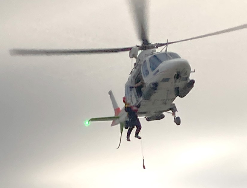
I’ll indulge you with one last update…in case you missed it, our friend Jo, was featured in a recently aired CBS spotlight on how Americans are spending their retirements at sea. We had a cameo appearance in the piece:
We’ve enjoyed Jo’s company on the last 3 World Cruises. In December, she emailed us that CBS wanted to interview her and invited us to join in the lunchtime filming once we were aboard. That was 2 months ago, and we practically forgot about it! We were surprised we didn’t end up on “the cutting room floor”!
You may also read Jo’s backstory to this piece in her blog: Months Of Preparation For 15 Minutes Of Cruise Retirement Fame – Writer on Deck
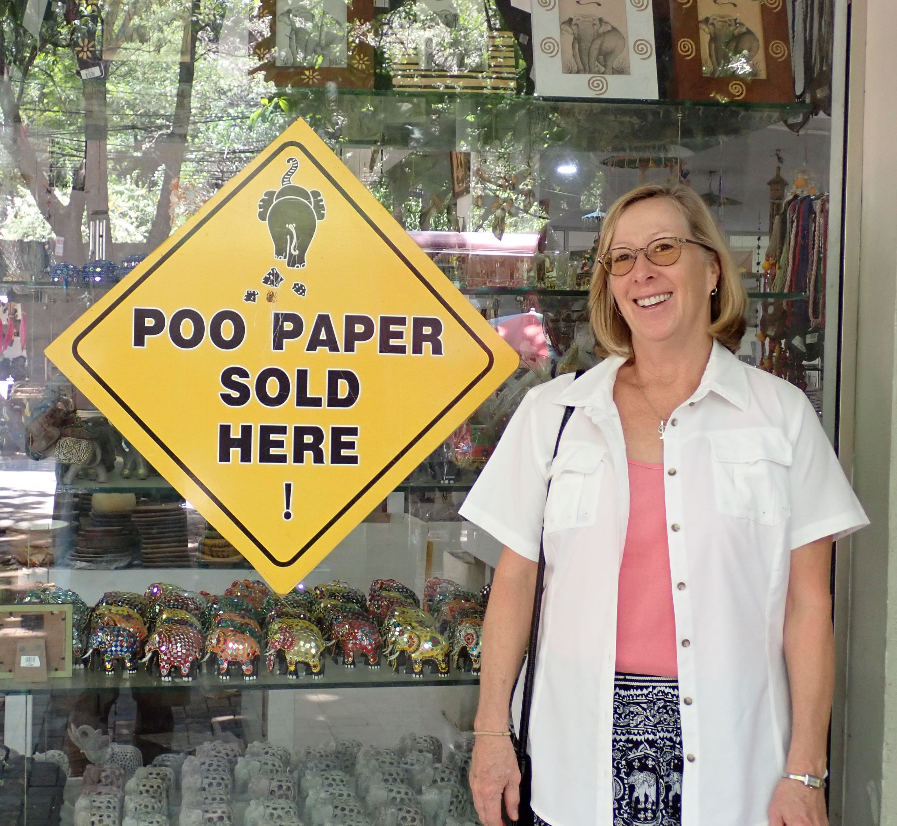
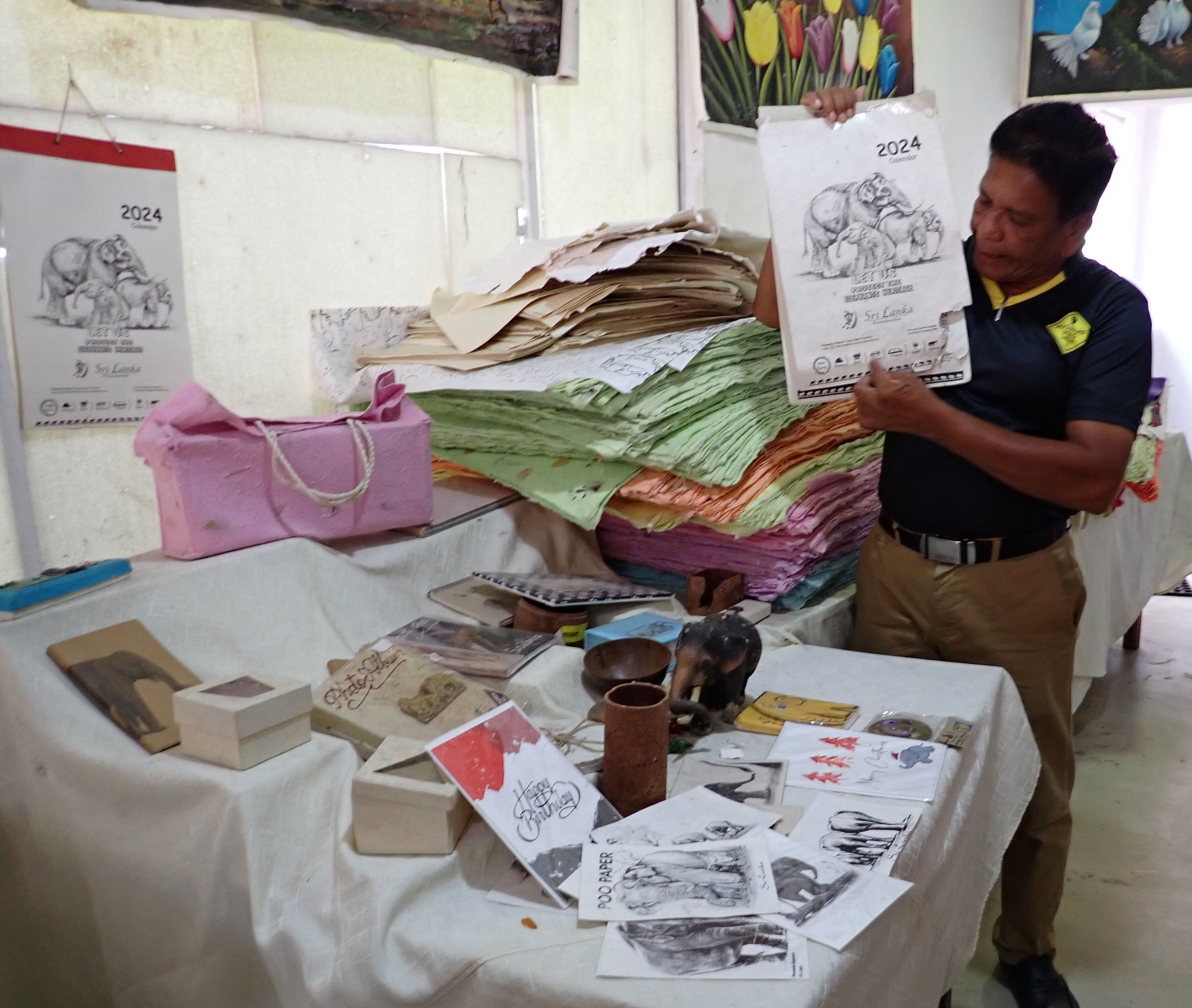
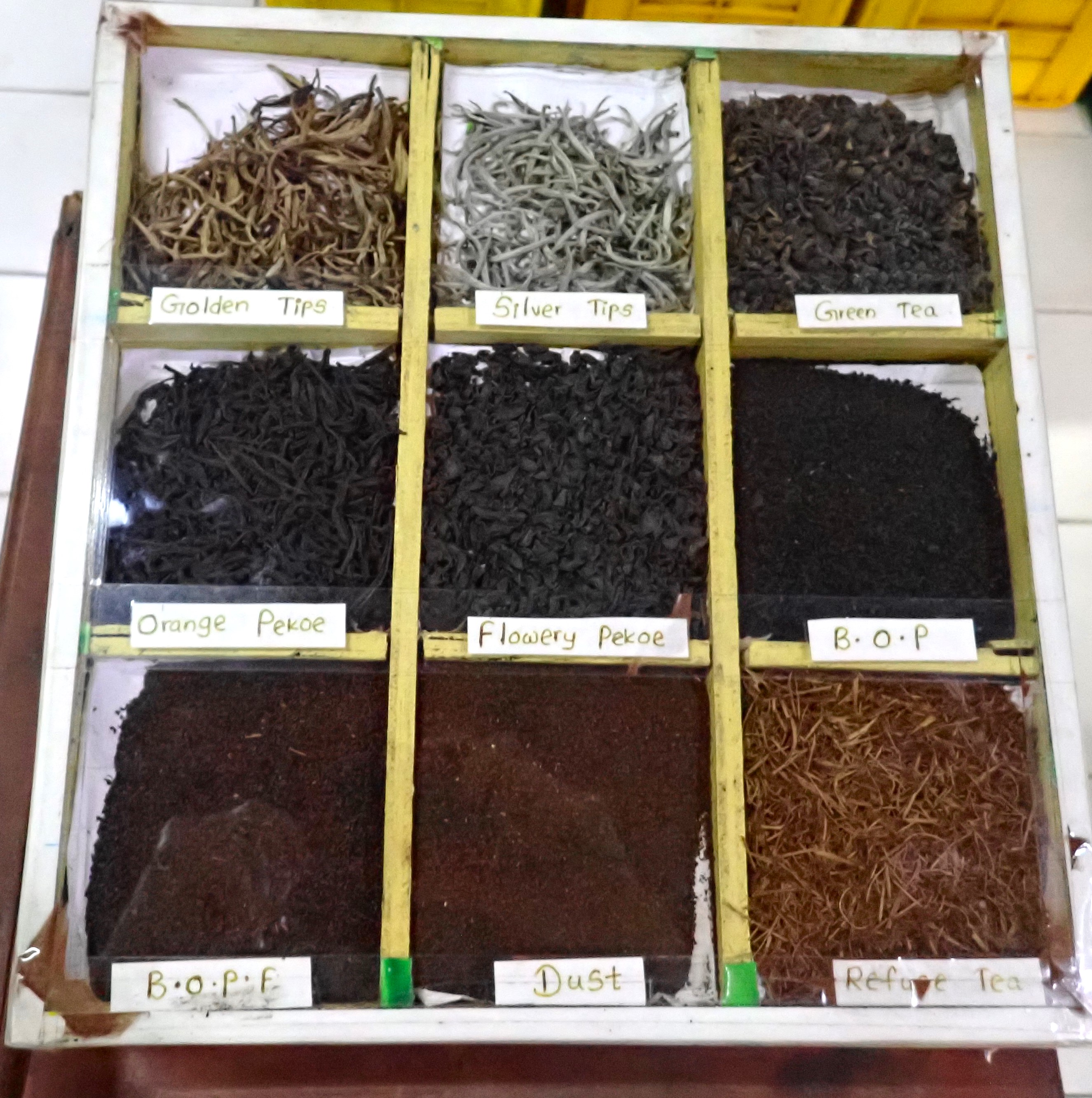
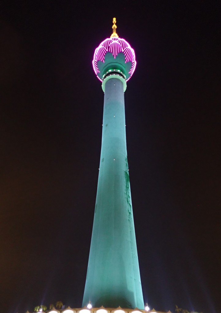
Meanwhile, Sri Lanka and the islands of the Indian Ocean lie ahead. Stay tuned!